Dry Run Boat Ramp
- Jun–Oct
- best months
Dry Run Boat Ramp is a boat launch in western Maryland, about 4.5 miles from the town of Bloomington. The land is managed by the Upper Potomac River Commission. For the most comfortable conditions, plan around late summer and early fall. Typical averages from the nearby Savage River Dam weather station run from highs near 80°F in August to about 73°F in September, with September seeing fewer wet days. The Savage River is the closest neighbor at about 2 miles away, and it offers river fishing. Within roughly five miles are the Monroe Run Hiking Trail, the Meadow Mountain Trail and the Backbone Mountain Trail, and the North Branch Potomac River lies a bit farther out.
- Managed by
- Upper Potomac River Commission
- Savage RiverRiver fishing2 mi
- WMA Access PathHiking4.3 mi
- Monroe Run Hiking TrailHiking4.5 mi
- Meadow Mountain TrailHiking4.8 mi
- Backbone Mountain TrailHiking5 mi
- North Branch Potomac RiverRiver fishing6.8 mi
- Howell Run Picnic AreaCamping7.4 mi
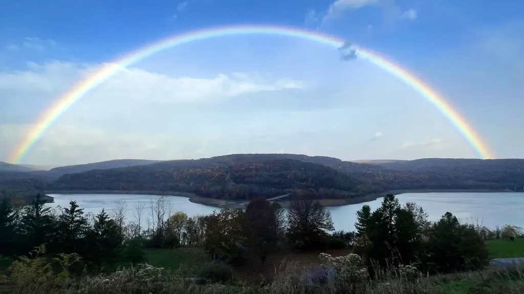 Robert W CraigCampingPhoto: Recreation.gov (RIDB) / public domain7.5 mi
Source: Roamze catalog (indexable pages within 10 miles, PostGIS distance)
 Mill CreekCanoeing · ~36 min drivePhoto: Justin A. Wilcox, Romney, West Virginia, United States, CC BY-SA 3.0 (via Wikimedia Commons)
- Big Run State Park Boat RampBoat launch · ~2 min drive
- Robert W CraigFloat trip · ~13 min drive
 Wills CreekCanoeing · ~41 min drivePhoto: Tim Kiser (w:User:Malepheasant), CC BY-SA 2.5 (via Wikimedia Commons)
- Barnum Whitewater AreaBoat launch · ~9 min drive
 North Branch Potomac RiverCanoeing · ~43 min drivePhoto: Jstuby at en.wikipedia, Public domain (via Wikimedia Commons)
- Spring Gap boat launchBoat launch · ~39 min drive
 Little Cacapon RiverCanoeing · ~52 min drivePhoto: Justin A. Wilcox, Romney, West Virginia, United States, CC BY-SA 3.0 (via Wikimedia Commons)
- Colvin Area Boat LaunchBoat launch · ~1h 16m drive
 Cacapon RiverCanoeing · ~1h 12m drivePhoto: Justin A. Wilcox from Washington, D.C., United States, CC BY-SA 2.0 (via Wikimedia Commons)
Best time to visit Dry Run Boat Ramp
Best months: June–October. Best months have typical highs of 55–85 °F, lows of 30 °F or warmer (32 °F where the station doesn't record snow), at most one snowy day and no more than 12 wet days.
Jan
36° / 20°
11 wet
Feb
39° / 21°
10 wet
Mar
48° / 28°
11 wet
Apr
61° / 37°
13 wet
May
69° / 47°
14 wet
Jun
77° / 56°
12 wet
Jul
81° / 60°
11 wet
Aug
80° / 59°
10 wet
Sep
73° / 52°
9 wet
Oct
62° / 41°
9 wet
Nov
50° / 32°
9 wet
Dec
40° / 25°
11 wet
Typical high / low (°F) and days with rain or snow, 1991–2020. Measured at Savage Rvr Dam, MD, 0.9 mi away at 1,495 ft. This station doesn't record snowfall. Source: NOAA NCEI U.S. Climate Normals 1991–2020.
Map and trail data © OpenStreetMap contributors
