Backbone Mountain Trail
- 2.3 mi
- round trip
- 762 ft
- climb
- 3,031 ft
- high point
- Out and back
- route
- Sep
- best months
Backbone Mountain Trail is an easy out-and-back hike in Maryland, about a mile from the town of Strecker. The trail is 4.6 miles long, with a total elevation gain of 762 feet, and the one-way climb reaches about 543 feet. The steepest stretch comes at roughly 1.6 miles in, where the grade reaches about 11%. For comfortable weather, aim for late spring or early fall. Typical averages from a nearby weather station show May highs around 70°F and September highs around 74°F, with July the warmest month at about 81°F. That station sits roughly 600 feet lower than the trail's high point, so temperatures on the mountain run cooler. The Appalachian Trail passes about 4 miles away, and Howell Run Picnic Area and the High Timber Trail Spur are both within about 4.5 miles. For fishing, the Savage River is about 7 miles off.
Local outfitters
- Paddler's Lane Retreat27 mi away
Not on Roamze yet. Their page has how to reach them.
- Appalachian TrailHiking4.2 mi
- Howell Run Picnic AreaCamping4.3 mi
- High Timber Trail SpurHiking4.5 mi
- Barnum Rail TrailHiking4.6 mi
 Robert W CraigCampingPhoto: Recreation.gov (RIDB) / public domain4.8 mi
- Savage RiverRiver fishing6.9 mi
- North Branch Potomac RiverRiver fishing8.1 mi
- Trout RunRiver fishing9.4 mi
Source: Roamze catalog (indexable pages within 10 miles, PostGIS distance)
 Pine Wood TrailHiking · ~11 min drivePhoto: NicoleSharp, CC BY-SA 2.0 (via Flickr)
 Thayer TraceHiking · ~12 min drivePhoto: Nicolas Raymond from Bethesda, Maryland, USA, CC BY 2.0 (via Wikimedia Commons)
 Crosscut TrailHiking · ~14 min drivePhoto: NicoleSharp, CC BY-SA 2.0 (via Flickr)
- Beckman's TrailHiking · ~13 min drivePhoto: Nicolas Raymond from Bethesda, Maryland, USA, CC BY 2.0 (via Wikimedia Commons)
- Meadow Mountain TrailHiking · ~13 min drive
 Poplar Lick TrailHiking · ~19 min drivePhoto: DMSDMS215, CC BY-SA 4.0 (via Wikimedia Commons)
- Meadow Mountain TrailHiking · ~13 min drivePhoto: Nicolas Raymond from Bethesda, Maryland, USA, CC BY 2.0 (via Wikimedia Commons)
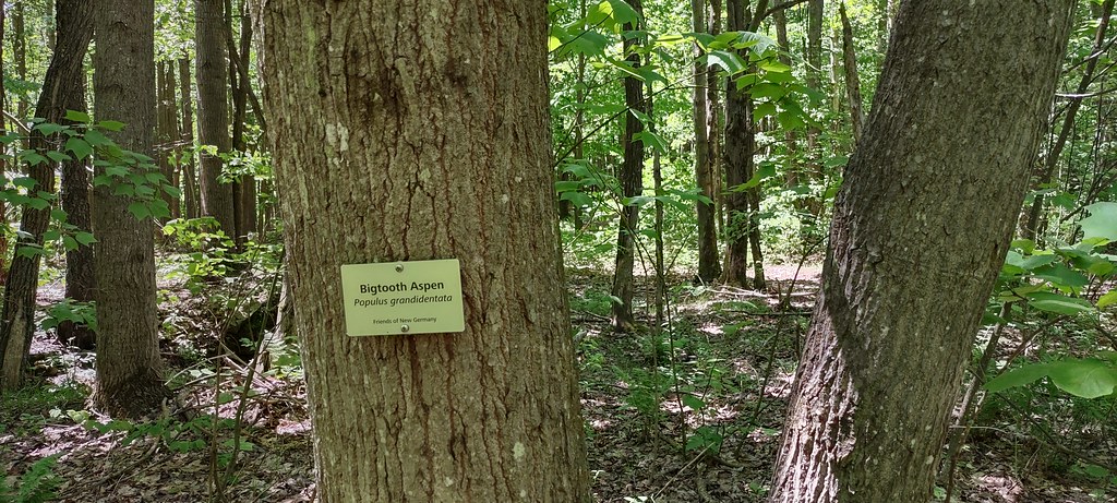 The Dorothy TrailHiking · ~19 min drivePhoto: NicoleSharp, CC BY-SA 2.0 (via Flickr)
 Lookout TrailHiking · ~13 min drivePhoto: Nicolas Raymond from Bethesda, Maryland, USA, CC BY 2.0 (via Wikimedia Commons)
- Barnum Rail TrailHiking · ~8 min drive
Best time to visit Backbone Mountain Trail
Best months: September. Best months have typical highs of 55–85 °F, lows of 30 °F or warmer (32 °F where the station doesn't record snow), at most one snowy day and no more than 12 wet days.
Jan
37° / 18°
17 wet · 11 snow
Feb
40° / 20°
14 wet · 9 snow
Mar
49° / 27°
15 wet · 6 snow
Apr
61° / 37°
15 wet · 2 snow
May
70° / 48°
16 wet
Jun
77° / 56°
14 wet
Jul
81° / 60°
14 wet
Aug
80° / 58°
13 wet
Sep
74° / 51°
11 wet
Oct
63° / 39°
13 wet · 1 snow
Nov
51° / 30°
13 wet · 3 snow
Dec
41° / 24°
16 wet · 8 snow
Typical high / low (°F) and days with rain or snow, 1991–2020. Measured at Oakland 1 Se, MD, 11.9 mi away at 2,420 ft. The station sits about 600 ft lower than this place, so expect it a little cooler here. Source: NOAA NCEI U.S. Climate Normals 1991–2020.
Map and trail data © OpenStreetMap contributors
