Barnum Whitewater Area
- Sep–Oct
- best months
Barnum Whitewater Area is a boat launch in West Virginia, about 2 miles from Bloomington, Maryland. It sits right beside the Barnum Rail Trail, which makes it easy to pair a paddle with a walk. For comfortable weather, aim for late spring or early fall. Typical averages from a nearby weather station in Keyser show May highs around 75°F and September highs near 80°F, with July peaking at about 89°F. The Appalachian Trail passes within a mile, and the WMA Access Path is about a mile away. For an overnight stay, Robert W Craig campground is roughly 2.7 miles off, and the North Branch Potomac River offers fishing about 3.7 miles away.
- Barnum Rail TrailHiking0.1 mi
- Appalachian TrailHiking0.8 mi
- WMA Access PathHiking1 mi
- High Timber Trail SpurHiking2.3 mi
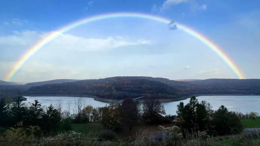 Robert W CraigCampingPhoto: Recreation.gov (RIDB) / public domain2.7 mi
- Howell Run Picnic AreaCamping2.9 mi
- North Branch Potomac RiverRiver fishing3.7 mi
- Savage RiverRiver fishing6.5 mi
Source: Roamze catalog (indexable pages within 10 miles, PostGIS distance)
 Mill CreekCanoeing · ~28 min drivePhoto: Justin A. Wilcox, Romney, West Virginia, United States, CC BY-SA 3.0 (via Wikimedia Commons)
- Dry Run Boat RampBoat launch · ~9 min drive
- Robert W CraigFloat trip · ~5 min drive
 North Branch Potomac RiverCanoeing · ~40 min drivePhoto: Jstuby at en.wikipedia, Public domain (via Wikimedia Commons)
- Big Run State Park Boat RampBoat launch · ~11 min drive
 Little Cacapon RiverCanoeing · ~46 min drivePhoto: Justin A. Wilcox, Romney, West Virginia, United States, CC BY-SA 3.0 (via Wikimedia Commons)
- Spring Gap boat launchBoat launch · ~37 min drive
 Wills CreekCanoeing · ~46 min drivePhoto: Tim Kiser (w:User:Malepheasant), CC BY-SA 2.5 (via Wikimedia Commons)
- Colvin Area Boat LaunchBoat launch · ~1h 21m drive
 Cacapon RiverCanoeing · ~1h 4m drivePhoto: Justin A. Wilcox from Washington, D.C., United States, CC BY-SA 2.0 (via Wikimedia Commons)
Best time to visit Barnum Whitewater Area
Best months: September–October. Best months have typical highs of 55–85 °F, lows of 30 °F or warmer (32 °F where the station doesn't record snow), at most one snowy day and no more than 12 wet days.
Jan
40° / 21°
13 wet
Feb
44° / 22°
13 wet
Mar
53° / 28°
14 wet
Apr
67° / 37°
14 wet
May
75° / 47°
16 wet
Jun
84° / 56°
13 wet
Jul
89° / 61°
12 wet
Aug
87° / 59°
12 wet
Sep
80° / 52°
10 wet
Oct
67° / 40°
11 wet
Nov
54° / 31°
11 wet
Dec
43° / 25°
12 wet
Typical high / low (°F) and days with rain or snow, 1991–2020. Measured at Keyser 2 Ssw, WV, 5.7 mi away at 965 ft. This station doesn't record snowfall. Source: NOAA NCEI U.S. Climate Normals 1991–2020.

Map and trail data © OpenStreetMap contributors
