Dog Leg Trail
- 1.0 mi
- round trip
- 531 ft
- climb
- 2,667 ft
- high point
- Out and back
- route
- Jul–Oct
- best months
Dog Leg Trail is a cross-country ski route in Maryland, about 1.2 miles from the town of New Germany. The trail is an out-and-back of about 1.9 miles, with a high point of 2,667 feet and a low point of 2,425 feet, so the climb is back-loaded. The total gain and loss are both about 531 feet, with the steepest stretch at around 10% grade near the start. Winter is the natural season for skiing here. Typical averages from a nearby weather station in Frostburg, at a lower elevation than the trail, show January highs around 34°F with lows near 18°F. February is similar, with highs in the upper 30s. Several other routes lie within a mile. Hemlock Trail, another cross-country ski route, is 0.6 miles away, and Dynamite Shack Loop, a hike, is 0.5 miles off. Poplar Lick Trail and Acorn Loop are both within a mile.
Local outfitters
- Paddler's Lane Retreat20 mi away
Not on Roamze yet. Their page has how to reach them.
 Dynamite Shack LoopHikingPhoto: DMSDMS215, CC BY-SA 4.0 (via Wikimedia Commons)0.5 mi
- Hemlock TrailCross-country skiing0.6 mi
- Poplar Lick TrailHikingPhoto: DMSDMS215, CC BY-SA 4.0 (via Wikimedia Commons)0.7 mi
- Acorn LoopHikingPhoto: DMSDMS215, CC BY-SA 4.0 (via Wikimedia Commons)0.9 mi
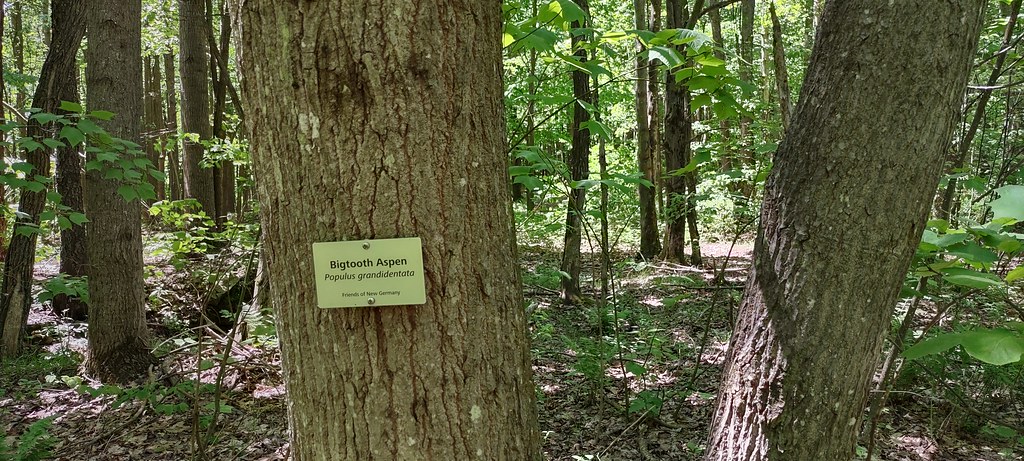 The Dorothy TrailHikingPhoto: NicoleSharp, CC BY-SA 2.0 (via Flickr)1.1 mi
- Turnpike TrailCross-country skiing1.2 mi
- Savage RiverRiver fishing4.8 mi
- Casselman RiverRiver fishing5.6 mi
Source: Roamze catalog (indexable pages within 10 miles, PostGIS distance)
- Mystic Mountain Ski AreaDownhill skiing · ~44 min drive
- Dynamite Shack LoopCross-country skiing · Next door
- Yellow XC TrailCross-country skiing · ~44 min drive
- Red XC TrailCross-country skiing · ~44 min drive
- Wisp TrailSki touring · ~23 min drive
- Wisp ResortDownhill skiing · ~25 min drive
- Acorn LoopCross-country skiing · ~1 min drive
- Eye OpenerSki touring · ~23 min drive
- Red XC TrailCross-country skiing · ~44 min drive
- PossumSki touring · ~23 min drive
Best time to visit Dog Leg Trail
Best months: July–October. Best months have typical highs of 55–85 °F, lows of 30 °F or warmer (32 °F where the station doesn't record snow), at most one snowy day and no more than 12 wet days.
Jan
34° / 18°
15 wet
Feb
37° / 20°
13 wet
Mar
46° / 26°
14 wet
Apr
59° / 37°
14 wet
May
68° / 47°
15 wet
Jun
75° / 55°
13 wet
Jul
79° / 59°
12 wet
Aug
78° / 58°
11 wet
Sep
72° / 52°
11 wet
Oct
60° / 41°
11 wet
Nov
48° / 31°
11 wet
Dec
38° / 24°
13 wet
Typical high / low (°F) and days with rain or snow, 1991–2020. Measured at Frostburg 2, MD, 11 mi away at 2,170 ft. This station doesn't record snowfall. Source: NOAA NCEI U.S. Climate Normals 1991–2020.
Map and trail data © OpenStreetMap contributors
