White Trail
 Photo: cdsessums, CC BY-SA 2.0 (via Flickr)
- 2.3 mi
- loop
- 437 ft
- climb
- 624 ft
- high point
- Loop
- route
- Apr–Jun, Aug–Nov
- best months
White Trail is a 2.3-mile loop hike in Maryland, about 0.7 miles from the community of Rocks. The trail rises from a low point of 338 feet to a high of 624 feet, with a total elevation gain of 437 feet. The climb is rated easy, and the route is a loop, so you return to your starting point. The trail is a short outing, and the most comfortable months for a visit are typically late spring and early fall. Typical averages from the nearby Conowingo Dam weather station show May highs around 74°F and September highs near 79°F, while July averages about 88°F. That station sits well below the trail, so temperatures on the higher ground run cooler. Dogs are allowed on a leash, and bikes and horses are not. The trip takes about an hour, and the trail is close to several climbing areas, including Rocks State Park, Moby Dick and Trailer Boulders and Breakaway Wall, all about half a mile away.
Local outfitters
- Strasburg Scooters & Tours28 mi away
- Amish Buggy Rides32 mi away
Not on Roamze yet. Their page has how to reach them.
Best time to go · Apr–Jun, Aug–Nov
Best time to visit White Trail
Best months: April–June and August–November. Best months have typical highs of 55–85 °F, lows of 30 °F or warmer (32 °F where the station doesn't record snow), at most one snowy day and no more than 12 wet days.
Jan
40° / 25°
11 wet
Feb
43° / 26°
10 wet
Mar
51° / 34°
10 wet
Apr
64° / 44°
10 wet
May
74° / 54°
10 wet
Jun
83° / 64°
9 wet
Jul
88° / 69°
9 wet
Aug
85° / 67°
9 wet
Sep
79° / 60°
9 wet
Oct
67° / 48°
9 wet
Nov
55° / 37°
8 wet
Dec
45° / 31°
10 wet
Typical high / low (°F) and days with rain or snow, 1991–2020. Measured at Conowingo Dam, MD, 13.3 mi away at 40 ft. The station sits about 600 ft lower than this place, so expect it a little cooler here. This station doesn't record snowfall. Source: NOAA NCEI U.S. Climate Normals 1991–2020.
Keep exploring — more trails worth the drive
 Photo: krossbow, CC BY 2.0 (via Flickr)
Jerusalem Mill Trail (Blue)
~20 min drive
1.01-mile point-to-point trail in Maryland with 176 ft gain.
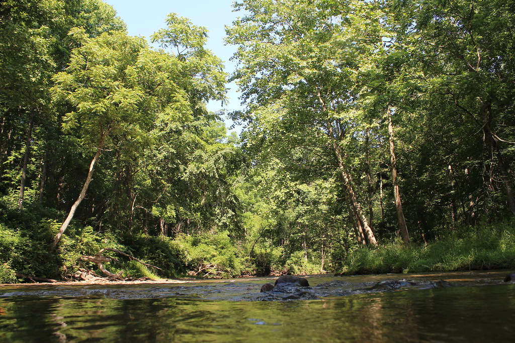 Photo: nikoretro, CC BY-SA 2.0 (via Flickr)
Sandy Lane Trail
~21 min drive
0.36-mile out-and-back trail in Maryland with 22 ft gain.
 Photo: krossbow, CC BY 2.0 (via Flickr)
Horse Trail
~20 min drive
1.06-mile out-and-back trail in Maryland with 247 ft elevation gain
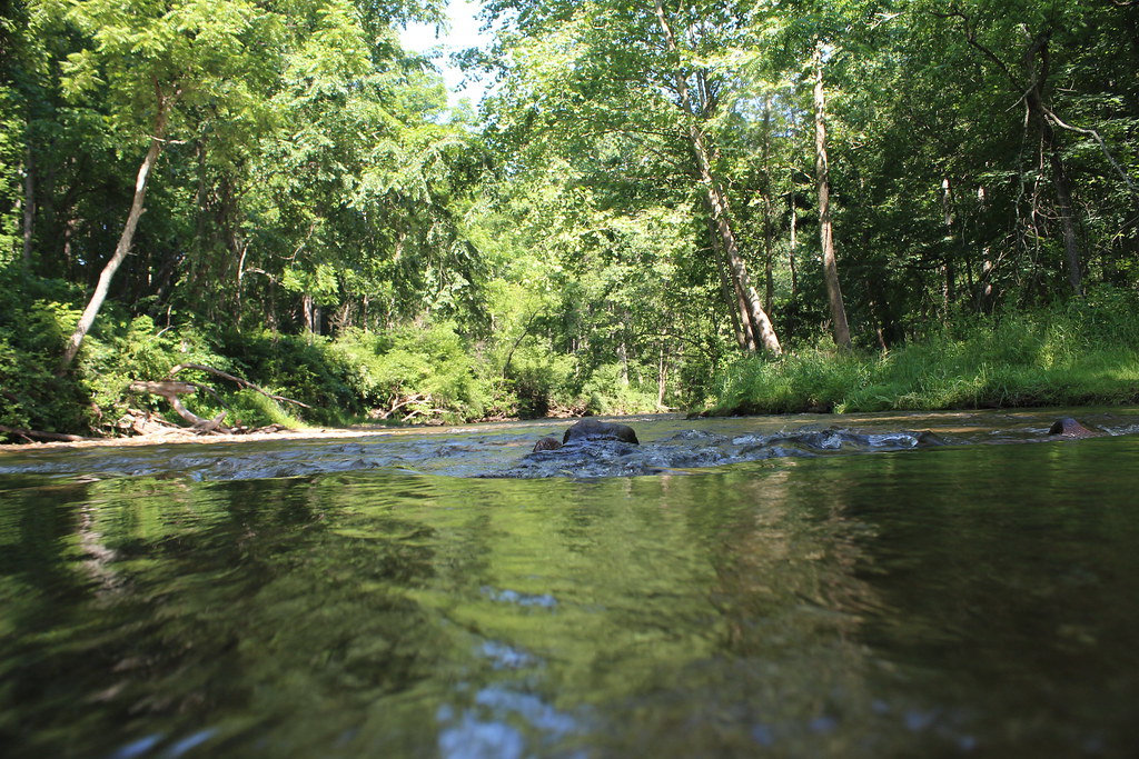 Photo: nikoretro, CC BY-SA 2.0 (via Flickr)
Gunpowder South Trail (White)
~22 min drive
Easy 3.35-mile out-and-back walk through Gunpowder Falls forest.
 Photo: krossbow, CC BY 2.0 (via Flickr)
Little Gunpowder Trail (white)
~21 min drive
0.88-mile out-and-back trail in Maryland with 282 ft of elevation gain.
 Photo: aparlette, CC BY 2.0 (via Flickr)
Sweathouse Trail
~24 min drive
3.22-mile out-and-back trail in Maryland with 1,031 ft elevation gain
Photo: nikoretro, CC BY-SA 2.0 (via Flickr)Panther Trail
~21 min drive
Panther Trail is a 2.01-mile point-to-point trail in Maryland with 753 ft of elevation gain.
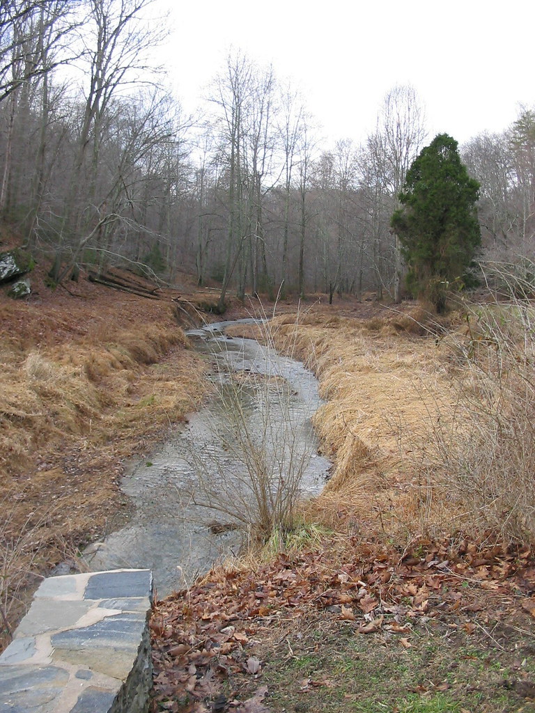 Photo: jeffcovey, CC BY-SA 2.0 (via Flickr)
Highland Trail
~24 min drive
0.46-mile out-and-back trail in Maryland with 211 ft elevation gain.
Photo: nikoretro, CC BY-SA 2.0 (via Flickr)Old Gunpowder South Trail
~22 min drive
0.53-mile out-and-back trail in Maryland with 186 ft elevation gain.
HIKE
Boundary Trail
~14 min drive
5.30-mile loop trail in Maryland with 994 ft gain.

Map and trail data © OpenStreetMap contributors
