Panther Trail
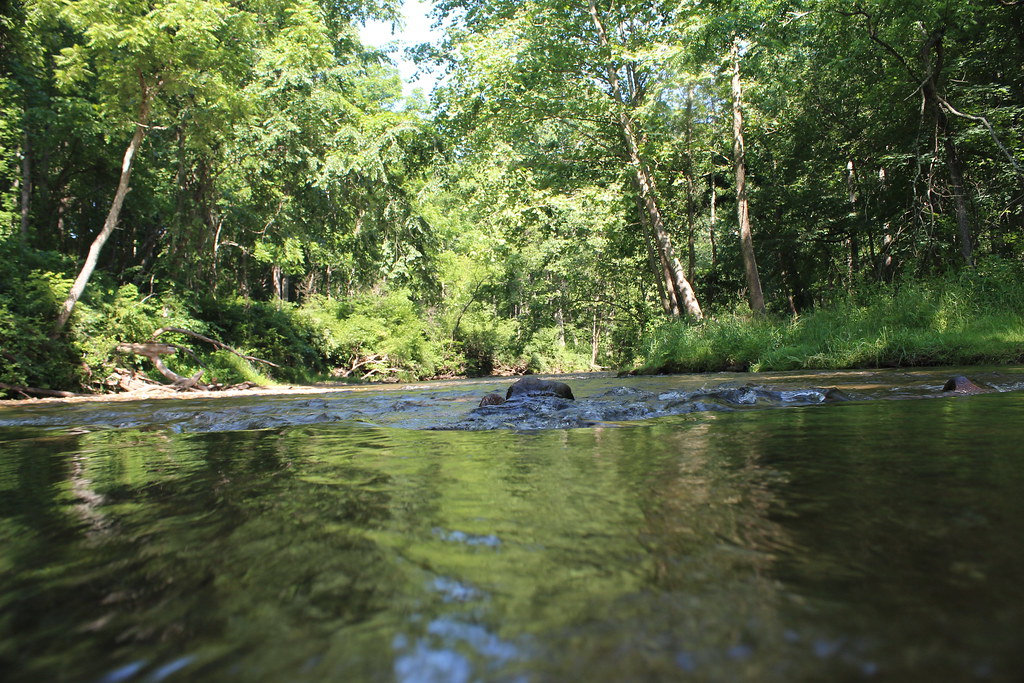 Photo: nikoretro, CC BY-SA 2.0 (via Flickr)
- 2.0 mi
- one way
- 498 ft
- climb
- 625 ft
- high point
- Point to point
- route
- Jun–Oct
- best months
Clear today
Weather is good · OpenWeather · checked 7 h ago
Panther Trail is a 2-mile point-to-point hike in Maryland, about 0.8 miles from the town of Gillcrest. It rises from roughly 590 feet to about 625 feet, with a total elevation gain of 498 feet, and is rated easy. The trail is open to horses, and bikes are not allowed. The route is a short outing that fits easily into a day of exploring the surrounding area. The steepest stretch comes at about 0.4 miles in, where the grade reaches 37 percent. The trail also has a small amount of descent, about 196 feet, so the total gain is not the same as the climb up. For comfortable weather, aim for late spring or early fall. Typical averages from a nearby weather station run to highs around 73°F in May and 77°F in September, with October highs near 65°F. Sandy Lane Trail starts just 0.1 mile away, and The Overlook climbing area and Gunpowder South Trail (White) are each about 0.3 mile off. Raven Rocks, a climbing area, is about 0.6 mile away.
Local outfitters
- Gettysburg Licensed Town Guides34 mi away
- Strasburg Scooters & Tours36 mi away
Not on Roamze yet. Their page has how to reach them.
Best time to go · Jun–Oct
Best time to visit Panther Trail
Best months: June–October. Best months have typical highs of 55–85 °F, lows of 30 °F or warmer (32 °F where the station doesn't record snow), at most one snowy day and no more than 12 wet days.
Jan
40° / 24°
11 wet
Feb
43° / 25°
11 wet
Mar
52° / 32°
12 wet
Apr
65° / 42°
13 wet
May
73° / 51°
14 wet
Jun
81° / 60°
12 wet
Jul
85° / 64°
12 wet
Aug
83° / 63°
11 wet
Sep
77° / 56°
10 wet
Oct
65° / 45°
10 wet
Nov
54° / 36°
10 wet
Dec
44° / 28°
11 wet
Typical high / low (°F) and days with rain or snow, 1991–2020. Measured at Millers 4 Ne, MD, 10.9 mi away at 860 ft. This station doesn't record snowfall. Source: NOAA NCEI U.S. Climate Normals 1991–2020.
Keep exploring — more trails worth the drive
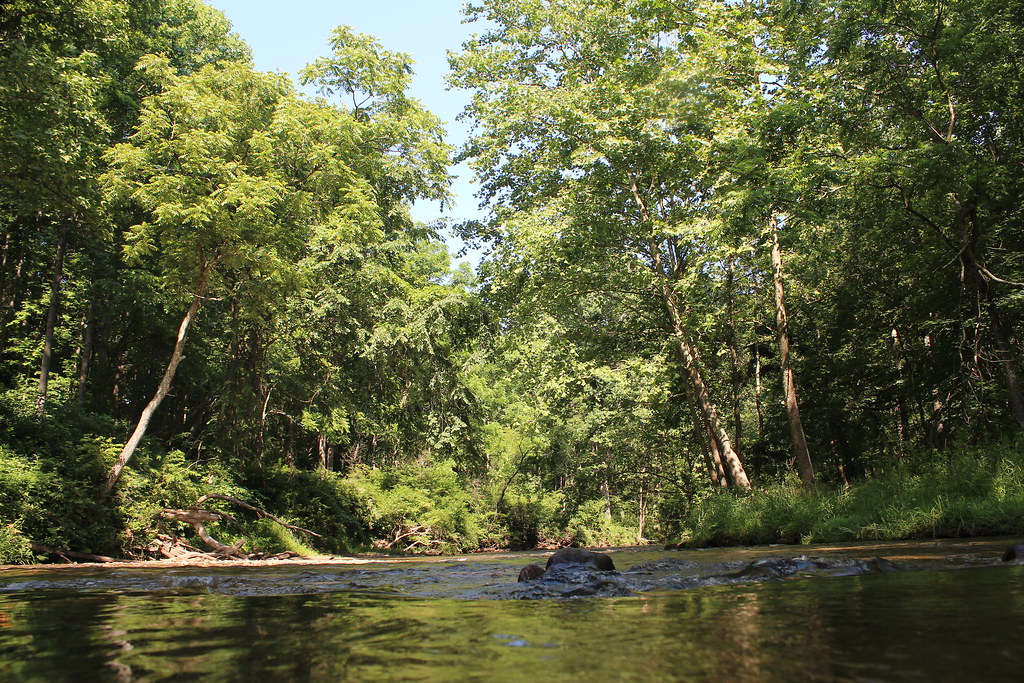 Photo: nikoretro, CC BY-SA 2.0 (via Flickr)
Sandy Lane Trail
Next door
0.36-mile out-and-back trail in Maryland with 22 ft gain.
Photo: nikoretro, CC BY-SA 2.0 (via Flickr)Old Gunpowder South Trail
Next door
0.53-mile out-and-back trail in Maryland with 186 ft elevation gain.
Photo: nikoretro, CC BY-SA 2.0 (via Flickr)Gunpowder South Trail (White)
Next door
Easy 3.35-mile out-and-back walk through Gunpowder Falls forest.
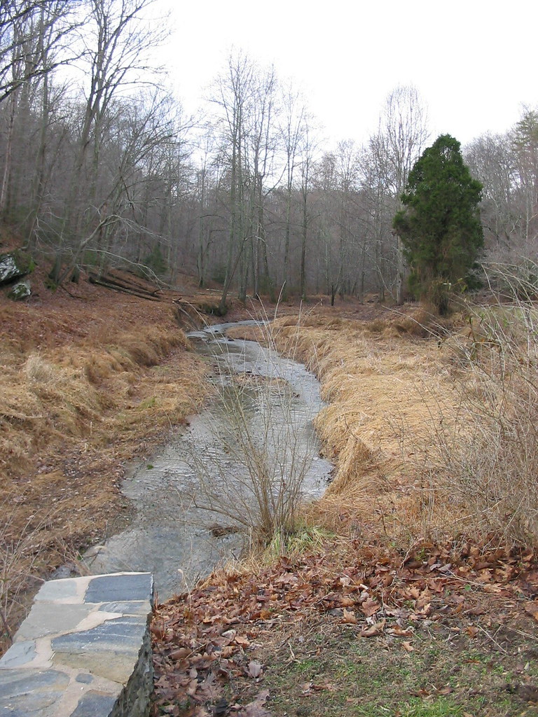 Photo: jeffcovey, CC BY-SA 2.0 (via Flickr)
Gunpowder South Trail (White)
~3 min drive
2.34-mile out-and-back trail in Maryland with 666 ft gain
Photo: jeffcovey, CC BY-SA 2.0 (via Flickr)Highland Trail
~3 min drive
0.46-mile out-and-back trail in Maryland with 211 ft elevation gain.
 Photo: witchspace, CC BY 2.0 (via Flickr)
Torrey C. Brown Rail Trail
~11 min drive
Flat 19.93-mile point-to-point rail trail through Maryland's countryside.
 Photo: cdsessums, CC BY-SA 2.0 (via Flickr)
Ridge Trail
~14 min drive
0.36-mile point-to-point Ridge Trail in Maryland gains 181 ft.
Photo: cdsessums, CC BY-SA 2.0 (via Flickr)Miners Trail
~14 min drive
0.31-mile point-to-point trail in Maryland with 81 ft of elevation gain
Photo: cdsessums, CC BY-SA 2.0 (via Flickr)Laurel Trail
~15 min drive
0.45-mile point-to-point trail in Maryland with 81 ft gain and 144 ft loss.
 Photo: cdsessums, CC BY-SA 2.0 (via Flickr)
Virginia Pine Trail
~15 min drive
0.38-mile point-to-point trail in Maryland with 28 ft gain and 208 ft loss.
Map and trail data © OpenStreetMap contributors
