Old Gunpowder South Trail
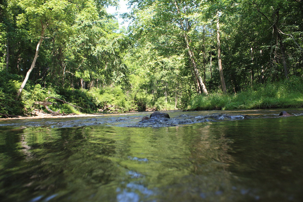 Photo: nikoretro, CC BY-SA 2.0 (via Flickr)
- 0.5 mi
- round trip
- 158 ft
- climb
- 354 ft
- high point
- Out and back
- route
- Jun–Oct
- best months
Old Gunpowder South Trail is a short, easy out-and-back hike in Maryland, about half a mile from the town of Gillcrest. The route is just over a mile long, with a total elevation gain of about 11 feet, so it's a gentle walk that can be done quickly or paired with time to explore the surrounding trails. Spring and fall are the most comfortable times to go. Typical averages from a nearby weather station show May highs around 73°F and October highs around 65°F, while July averages about 85°F and January highs sit near 40°F. The trail makes an easy base for a longer outing. Gunpowder South Trail (White) lies about 0.2 miles away, and Panther Trail and Sandy Lane Trail are each about 0.4 miles off. Climbers can find The Overlook about half a mile from the trail.
Local outfitters
- Gettysburg Licensed Town Guides34 mi away
- Strasburg Scooters & Tours36 mi away
Not on Roamze yet. Their page has how to reach them.
- Gunpowder South Trail (White)HikingPhoto: nikoretro, CC BY-SA 2.0 (via Flickr)0.2 mi
- Panther TrailHikingPhoto: nikoretro, CC BY-SA 2.0 (via Flickr)0.4 mi
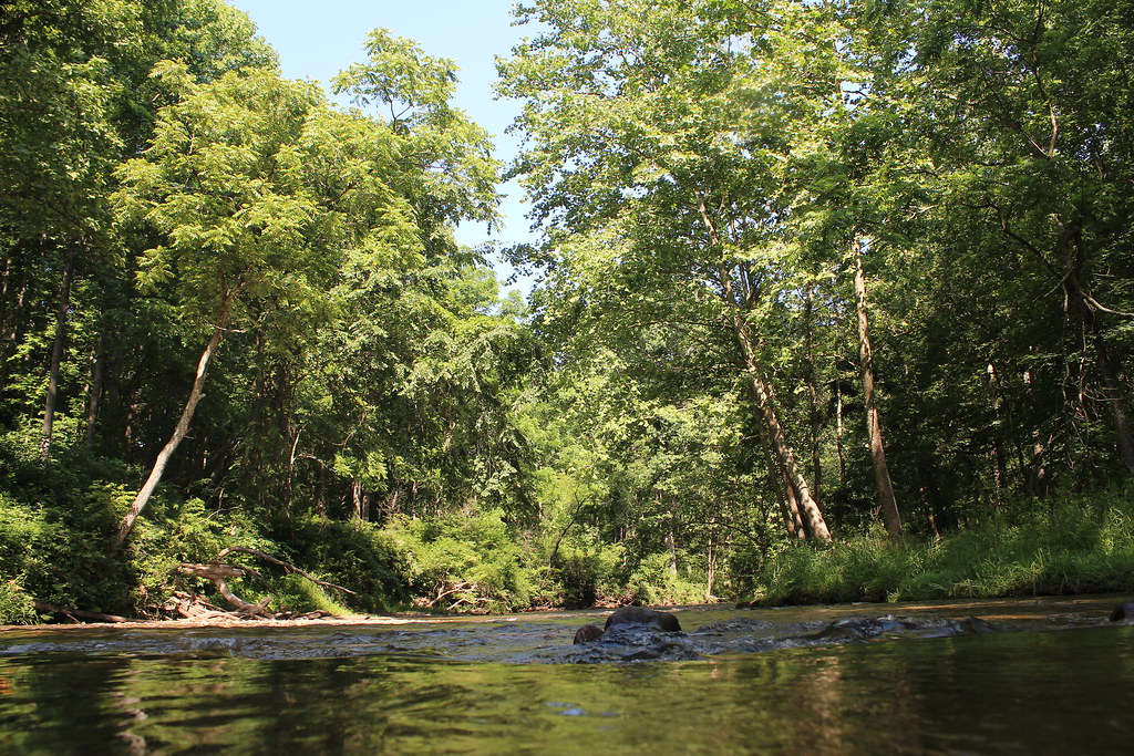 Sandy Lane TrailHikingPhoto: nikoretro, CC BY-SA 2.0 (via Flickr)0.4 mi
- The OverlookRock climbing0.5 mi
- Raven RocksRock climbing0.7 mi
- The FinRock climbing1.6 mi
- Gunpowder FallsRiver fishing4.9 mi
- Prettyboy ReservoirLake fishing6.5 mi
Source: Roamze catalog (indexable pages within 10 miles, PostGIS distance)
- Gunpowder South Trail (White)Hiking · Next doorPhoto: nikoretro, CC BY-SA 2.0 (via Flickr)
- Panther TrailHiking · Next doorPhoto: nikoretro, CC BY-SA 2.0 (via Flickr)
- Sandy Lane TrailHiking · Next doorPhoto: nikoretro, CC BY-SA 2.0 (via Flickr)
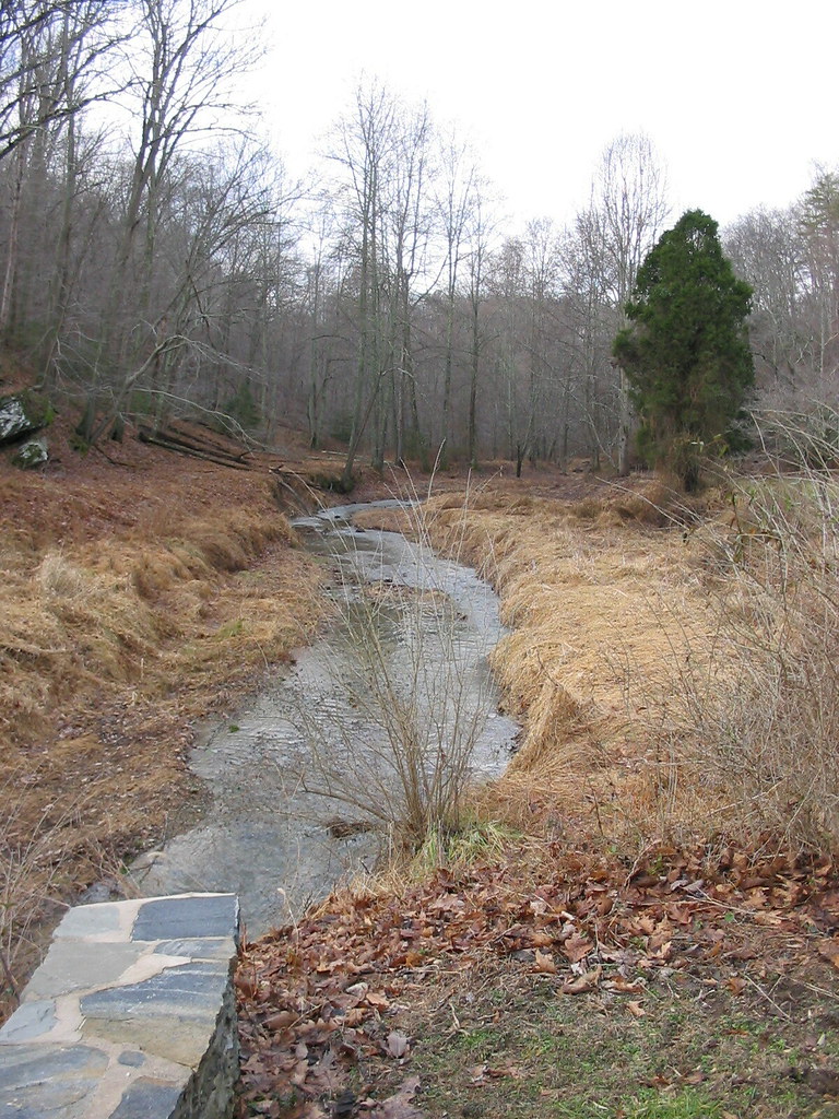 Gunpowder South Trail (White)Hiking · ~2 min drivePhoto: jeffcovey, CC BY-SA 2.0 (via Flickr)
- Highland TrailHiking · ~2 min drivePhoto: jeffcovey, CC BY-SA 2.0 (via Flickr)
 Torrey C. Brown Rail TrailHiking · ~12 min drivePhoto: witchspace, CC BY 2.0 (via Flickr)
 Ridge TrailHiking · ~14 min drivePhoto: cdsessums, CC BY-SA 2.0 (via Flickr)
- Miners TrailHiking · ~14 min drivePhoto: cdsessums, CC BY-SA 2.0 (via Flickr)
- Laurel TrailHiking · ~15 min drivePhoto: cdsessums, CC BY-SA 2.0 (via Flickr)
 Virginia Pine TrailHiking · ~15 min drivePhoto: cdsessums, CC BY-SA 2.0 (via Flickr)
Best time to visit Old Gunpowder South Trail
Best months: June–October. Best months have typical highs of 55–85 °F, lows of 30 °F or warmer (32 °F where the station doesn't record snow), at most one snowy day and no more than 12 wet days.
Jan
40° / 24°
11 wet
Feb
43° / 25°
11 wet
Mar
52° / 32°
12 wet
Apr
65° / 42°
13 wet
May
73° / 51°
14 wet
Jun
81° / 60°
12 wet
Jul
85° / 64°
12 wet
Aug
83° / 63°
11 wet
Sep
77° / 56°
10 wet
Oct
65° / 45°
10 wet
Nov
54° / 36°
10 wet
Dec
44° / 28°
11 wet
Typical high / low (°F) and days with rain or snow, 1991–2020. Measured at Millers 4 Ne, MD, 10.5 mi away at 860 ft. The station sits about 500 ft higher than this place, so expect it a little warmer here. This station doesn't record snowfall. Source: NOAA NCEI U.S. Climate Normals 1991–2020.
Map and trail data © OpenStreetMap contributors
