Highland Trail
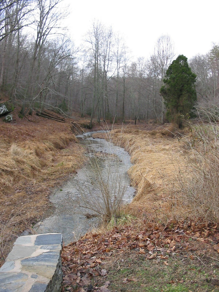 Photo: jeffcovey, CC BY-SA 2.0 (via Flickr)
- 0.5 mi
- round trip
- 273 ft
- climb
- 516 ft
- high point
- Out and back
- route
- Jun–Oct
- best months
Highland Trail is a 0.92-mile out-and-back hike in Maryland, about a mile from Hamlet Farms. It rises from a low point of 363 feet to a high of 516 feet, with the steepest stretch of about 10% grade near the start. The climb is front-loaded, and the route is rated moderate. The most comfortable months for a visit are typically late spring and early fall. Typical averages from a nearby weather station show May highs around 73°F and September highs around 77°F, while July highs reach about 85°F. The Gunpowder South Trail (White) starts just 0.1 mile away, and the Fin climbing area is about half a mile off. The Mingo Forks Trail (Yellow) and Bunker Hill Trail (Blue) are both within a mile.
Local outfitters
- Gettysburg Licensed Town Guides33 mi away
- Strasburg Scooters & Tours37 mi away
Not on Roamze yet. Their page has how to reach them.
Best time to go · Jun–Oct
Best time to visit Highland Trail
Best months: June–October. Best months have typical highs of 55–85 °F, lows of 30 °F or warmer (32 °F where the station doesn't record snow), at most one snowy day and no more than 12 wet days.
Jan
40° / 24°
11 wet
Feb
43° / 25°
11 wet
Mar
52° / 32°
12 wet
Apr
65° / 42°
13 wet
May
73° / 51°
14 wet
Jun
81° / 60°
12 wet
Jul
85° / 64°
12 wet
Aug
83° / 63°
11 wet
Sep
77° / 56°
10 wet
Oct
65° / 45°
10 wet
Nov
54° / 36°
10 wet
Dec
44° / 28°
11 wet
Typical high / low (°F) and days with rain or snow, 1991–2020. Measured at Millers 4 Ne, MD, 9.7 mi away at 860 ft. This station doesn't record snowfall. Source: NOAA NCEI U.S. Climate Normals 1991–2020.
Keep exploring — more trails worth the drive
Photo: jeffcovey, CC BY-SA 2.0 (via Flickr)Gunpowder South Trail (White)
Next door
2.34-mile out-and-back trail in Maryland with 666 ft gain
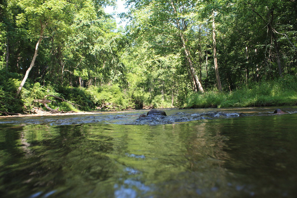 Photo: nikoretro, CC BY-SA 2.0 (via Flickr)
Gunpowder South Trail (White)
~2 min drive
Easy 3.35-mile out-and-back walk through Gunpowder Falls forest.
Photo: nikoretro, CC BY-SA 2.0 (via Flickr)Old Gunpowder South Trail
~2 min drive
0.53-mile out-and-back trail in Maryland with 186 ft elevation gain.
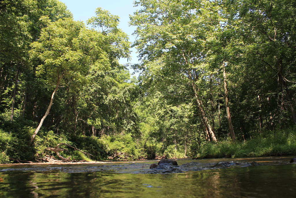 Photo: nikoretro, CC BY-SA 2.0 (via Flickr)
Sandy Lane Trail
~3 min drive
0.36-mile out-and-back trail in Maryland with 22 ft gain.
Photo: nikoretro, CC BY-SA 2.0 (via Flickr)Panther Trail
~3 min drive
Panther Trail is a 2.01-mile point-to-point trail in Maryland with 753 ft of elevation gain.
 Photo: cdsessums, CC BY-SA 2.0 (via Flickr)
Ridge Trail
~14 min drive
0.36-mile point-to-point Ridge Trail in Maryland gains 181 ft.
 Photo: witchspace, CC BY 2.0 (via Flickr)
Torrey C. Brown Rail Trail
~12 min drive
Flat 19.93-mile point-to-point rail trail through Maryland's countryside.
Photo: cdsessums, CC BY-SA 2.0 (via Flickr)Laurel Trail
~14 min drive
0.45-mile point-to-point trail in Maryland with 81 ft gain and 144 ft loss.
Photo: cdsessums, CC BY-SA 2.0 (via Flickr)Miners Trail
~14 min drive
0.31-mile point-to-point trail in Maryland with 81 ft of elevation gain
HIKE
Gunpowder South Trail (White)
~1 min drive
Easy out-and-back walk along Gunpowder River in Maryland state park.
Map and trail data © OpenStreetMap contributors
