Orange Trail
 Photo: krossbow, CC BY 2.0 (via Flickr)
- 6.0 mi
- one way
- 105 ft
- climb
- 218 ft
- high point
- Point to point
- route
- Mar–Nov
- best months
Orange Trail is an easy hike in Maryland, about 1.3 miles from the town of Pinefield. It runs about 6 miles and gains about 105 feet in elevation, making it a low-key outing that pairs well with time in town or with other nearby trails. The route has a point-to-point shape, with the lowest point at about 155 feet and the highest at about 218 feet. The steepest stretch comes at roughly 4.6 miles in, where the grade reaches about 6 percent. Bikes are allowed, so riders can take it on two wheels. Fall is the most comfortable time to go. Typical averages from a nearby weather station show October highs around 66°F with lows near 46°F. September and October also tend to have the fewest wet days of the year, while winter brings highs in the mid-40s and a few snow days each month. Several other trails sit close by, including White Trail about 0.7 miles away and Blue Trail about 1.1 miles away. For time on the water, Zekiah Swamp Run, a canoeing route, lies about 8 miles away.
 White TrailHikingPhoto: krossbow, CC BY 2.0 (via Flickr)0.7 mi
 Blue TraiilHikingPhoto: krossbow, CC BY 2.0 (via Flickr)1.1 mi
 Brown TrailHikingPhoto: krossbow, CC BY 2.0 (via Flickr)2.4 mi
- Green TrailHiking2.4 mi
 Blue TrailHikingPhoto: krossbow, CC BY 2.0 (via Flickr)7.5 mi
- Red TrailHiking7.5 mi
 Purple TrailHikingPhoto: krossbow, CC BY 2.0 (via Flickr)7.7 mi
- Zekiah Swamp RunCanoeing8.1 mi
Source: Roamze catalog (indexable pages within 10 miles, PostGIS distance)
- White TrailHiking · ~1 min drivePhoto: krossbow, CC BY 2.0 (via Flickr)
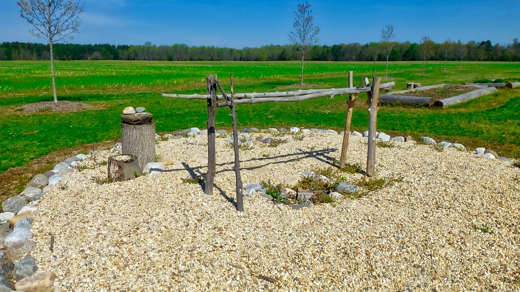 Red LoopHiking · ~16 min drivePhoto: krossbow, CC BY 2.0 (via Flickr)
- Blue TraiilHiking · ~2 min drivePhoto: krossbow, CC BY 2.0 (via Flickr)
- Perimeter TrailHiking · ~15 min drive
- Brown TrailHiking · ~4 min drivePhoto: krossbow, CC BY 2.0 (via Flickr)
- Blue TrailHiking · ~13 min drivePhoto: krossbow, CC BY 2.0 (via Flickr)
- Green TrailHiking · ~13 min drivePhoto: krossbow, CC BY 2.0 (via Flickr)
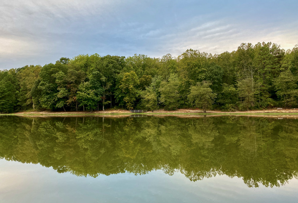 Orange TrailHiking · ~13 min drivePhoto: krossbow, CC BY 2.0 (via Flickr)
- Purple TrailHiking · ~13 min drivePhoto: krossbow, CC BY 2.0 (via Flickr)
 Connector TrailHiking · ~13 min drivePhoto: krossbow, CC BY 2.0 (via Flickr)
Best time to visit Orange Trail
Best months: March–November. Best months have typical highs of 55–85 °F, lows of 30 °F or warmer (32 °F where the station doesn't record snow), at most one snowy day and no more than 12 wet days.
Jan
44° / 25°
10 wet · 2 snow
Feb
48° / 26°
9 wet · 2 snow
Mar
56° / 33°
10 wet · 1 snow
Apr
67° / 43°
10 wet
May
74° / 52°
11 wet
Jun
82° / 61°
10 wet
Jul
85° / 66°
10 wet
Aug
83° / 64°
9 wet
Sep
77° / 58°
8 wet
Oct
66° / 46°
9 wet
Nov
57° / 35°
9 wet
Dec
48° / 29°
9 wet · 1 snow
Typical high / low (°F) and days with rain or snow, 1991–2020. Measured at Mechanicsville 5 Ne, MD, 12.2 mi away at 100 ft. Source: NOAA NCEI U.S. Climate Normals 1991–2020.
Map and trail data © OpenStreetMap contributors
