Blue Trail
 Photo: krossbow, CC BY 2.0 (via Flickr)
- 1.0 mi
- one way
- 41 ft
- climb
- 163 ft
- high point
- Point to point
- route
- Mar–Apr, Jun
- best months
Blue Trail is a short, easy hike in Maryland, about a mile long and rising just over 40 feet from its low point of 131 feet to a high of 163 feet. It is a point-to-point route, and the steepest stretch comes at about 0.88 miles in, with a 13% grade. The trail sits about half a mile from the community of Boniwood. Bikes are allowed on this route, so it works for both hikers and riders. The trail is part of a network of short trails in the area, with Green Trail and Orange Trail each about 0.1 mile away and Red Trail at a similar distance. For comfortable weather, aim for late spring or early fall. Typical averages from the nearby Oxon Hill weather station show May highs around 76°F and September highs around 80°F, with July peaking near 88°F. Farther afield, Fort Washington Park Day Use Facilities is about 6 miles away, and Fort Hunt Picnic Areas is about 7.5 miles away. Patriots Path: A Revolutionary War Encampment lies roughly 9 miles off.
- Green TrailHikingPhoto: krossbow, CC BY 2.0 (via Flickr)0.1 mi
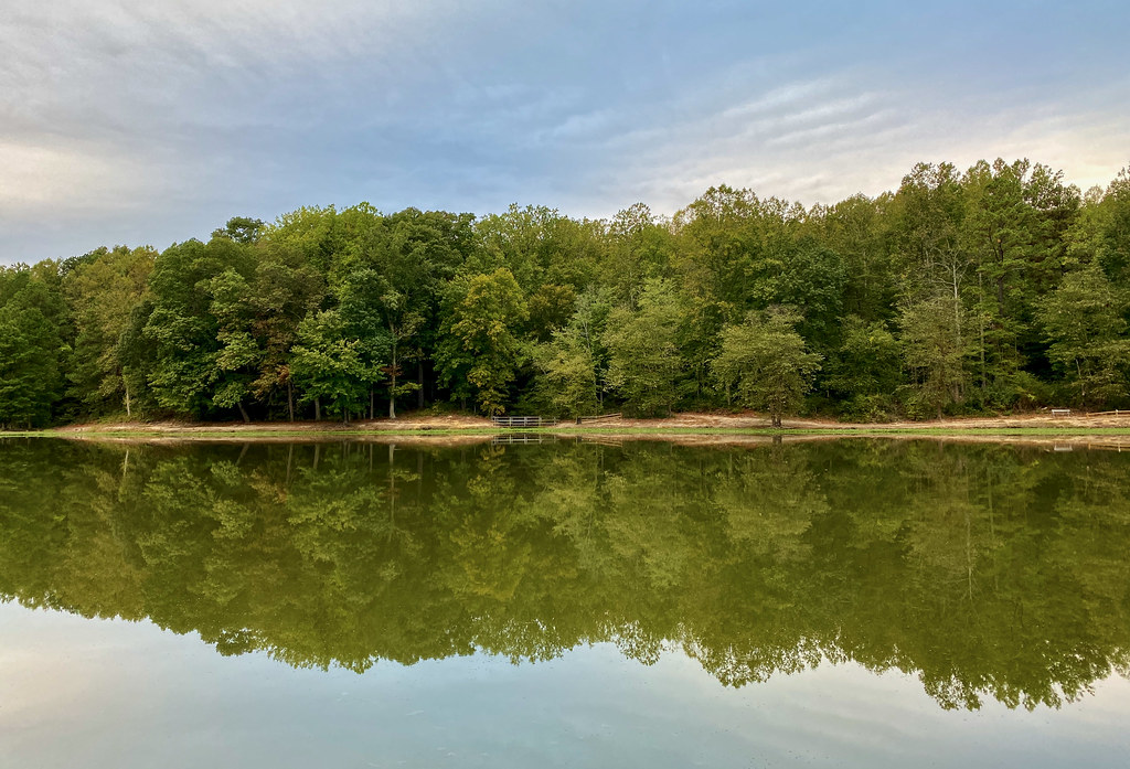 Orange TrailHikingPhoto: krossbow, CC BY 2.0 (via Flickr)0.1 mi
- Red TrailHiking0.1 mi
 Connector TrailHikingPhoto: krossbow, CC BY 2.0 (via Flickr)0.5 mi
 Purple TrailHikingPhoto: krossbow, CC BY 2.0 (via Flickr)0.7 mi
- Fort Washington Park Day Use FacilitiesCamping6.3 mi
- Fort Hunt Picnic AreasCamping7.5 mi
- Patriots Path: A Revolutionary War EncampmentCamping9.4 mi
Source: Roamze catalog (indexable pages within 10 miles, PostGIS distance)
- Orange TrailHiking · Next doorPhoto: krossbow, CC BY 2.0 (via Flickr)
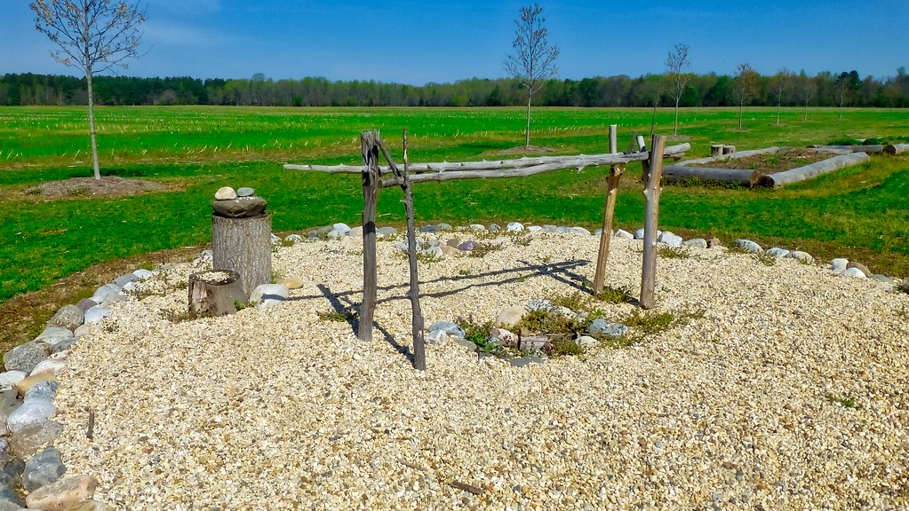 Red LoopHiking · ~18 min drivePhoto: krossbow, CC BY 2.0 (via Flickr)
- Connector TrailHiking · Next doorPhoto: krossbow, CC BY 2.0 (via Flickr)
- Perimeter TrailHiking · ~11 min drive
- Purple TrailHiking · ~1 min drivePhoto: krossbow, CC BY 2.0 (via Flickr)
- Mount Vernon TrailHiking · ~12 min drive
 Fort Washington TrailHiking · ~10 min drivePhoto: TrailVoice, CC BY-SA 2.0 (via Wikimedia Commons)
 Agricultural Heritage TrailHiking · ~11 min drivePhoto: krossbow, CC BY 2.0 (via Flickr)
 Agricultural Heritage TrailHiking · ~11 min drivePhoto: krossbow, CC BY 2.0 (via Flickr)
 Orange TrailHiking · ~13 min drivePhoto: krossbow, CC BY 2.0 (via Flickr)
Best time to visit Blue Trail
Best months: March–April, June and September–November. Best months have typical highs of 55–85 °F, lows of 30 °F or warmer (32 °F where the station doesn't record snow), at most one snowy day and no more than 12 wet days.
Jan
44° / 27°
11 wet
Feb
48° / 28°
10 wet
Mar
56° / 35°
12 wet
Apr
67° / 45°
12 wet
May
76° / 55°
13 wet
Jun
84° / 64°
11 wet
Jul
88° / 69°
11 wet
Aug
87° / 67°
10 wet
Sep
80° / 61°
9 wet
Oct
68° / 48°
10 wet
Nov
57° / 39°
10 wet
Dec
48° / 31°
11 wet
Typical high / low (°F) and days with rain or snow, 1991–2020. Measured at Oxon Hill, MD, 5.9 mi away at 190 ft. This station doesn't record snowfall. Source: NOAA NCEI U.S. Climate Normals 1991–2020.
Map and trail data © OpenStreetMap contributors
