Purple Trail
 Photo: krossbow, CC BY 2.0 (via Flickr)
- 1.3 mi
- loop
- 60 ft
- climb
- 243 ft
- high point
- Loop
- route
- Mar–Apr, Jun
- best months
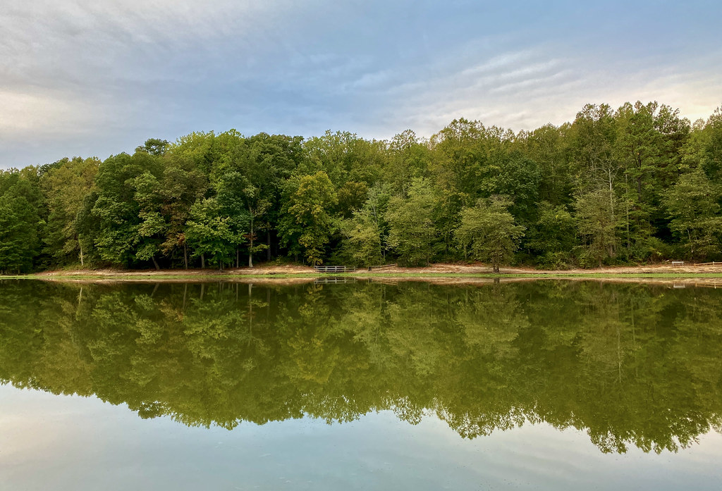
Purple Trail is an easy, short loop hike in Maryland, about 0.6 miles from the community of Clinton Woods. The route is about 1.3 miles long, with a gentle climb of 60 feet, and it makes a quick stop for anyone passing through the area. The trail loops back on itself, and the highest point on the route is about 243 feet, while the lowest is around 176 feet. The steepest part comes near the end of the loop, with a grade of about 3 percent. Bikes are allowed, so it works for a walk or a ride. Spring and fall are the most comfortable times to go. Typical averages from the nearby Oxon Hill weather station put May highs around 76°F and October highs around 68°F, while July climbs to about 88°F. The Connector Trail starts just 0.2 miles away, and the Orange Trail, Green Trail and Blue Trail are each about 0.7 miles off. Fort Washington Park Day Use Facilities, about 7 miles away, offers camping and day-use facilities.
 Connector TrailHikingPhoto: krossbow, CC BY 2.0 (via Flickr)0.2 mi
 Orange TrailHikingPhoto: krossbow, CC BY 2.0 (via Flickr)0.7 mi
 Green TrailHikingPhoto: krossbow, CC BY 2.0 (via Flickr)0.7 mi
- Blue TrailHikingPhoto: krossbow, CC BY 2.0 (via Flickr)0.7 mi
- Red TrailHiking0.9 mi
- Fort Washington Park Day Use FacilitiesCamping6.9 mi
- Fort Hunt Picnic AreasCamping8 mi
- Patriots Path: A Revolutionary War EncampmentCamping10 mi
Source: Roamze catalog (indexable pages within 10 miles, PostGIS distance)
- Connector TrailHiking · Next doorPhoto: krossbow, CC BY 2.0 (via Flickr)
 Red LoopHiking · ~17 min drivePhoto: krossbow, CC BY 2.0 (via Flickr)
- Orange TrailHiking · ~1 min drivePhoto: krossbow, CC BY 2.0 (via Flickr)
- Perimeter TrailHiking · ~10 min drive
- Blue TrailHiking · ~1 min drivePhoto: krossbow, CC BY 2.0 (via Flickr)
- Mount Vernon TrailHiking · ~13 min drive
- Green TrailHiking · ~1 min drivePhoto: krossbow, CC BY 2.0 (via Flickr)
 Agricultural Heritage TrailHiking · ~10 min drivePhoto: krossbow, CC BY 2.0 (via Flickr)
 Agricultural Heritage TrailHiking · ~10 min drivePhoto: krossbow, CC BY 2.0 (via Flickr)
 Fort Washington TrailHiking · ~11 min drivePhoto: TrailVoice, CC BY-SA 2.0 (via Wikimedia Commons)
Best time to visit Purple Trail
Best months: March–April, June and September–November. Best months have typical highs of 55–85 °F, lows of 30 °F or warmer (32 °F where the station doesn't record snow), at most one snowy day and no more than 12 wet days.
Jan
44° / 27°
11 wet
Feb
48° / 28°
10 wet
Mar
56° / 35°
12 wet
Apr
67° / 45°
12 wet
May
76° / 55°
13 wet
Jun
84° / 64°
11 wet
Jul
88° / 69°
11 wet
Aug
87° / 67°
10 wet
Sep
80° / 61°
9 wet
Oct
68° / 48°
10 wet
Nov
57° / 39°
10 wet
Dec
48° / 31°
11 wet
Typical high / low (°F) and days with rain or snow, 1991–2020. Measured at Oxon Hill, MD, 5.9 mi away at 190 ft. This station doesn't record snowfall. Source: NOAA NCEI U.S. Climate Normals 1991–2020.
Map and trail data © OpenStreetMap contributors
