Orange Trail
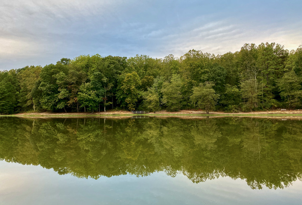 Photo: krossbow, CC BY 2.0 (via Flickr)
- 1.2 mi
- one way
- 34 ft
- climb
- 195 ft
- high point
- Point to point
- route
- Mar–Apr, Jun
- best months
Orange Trail is a short, easy hike in Maryland, about a mile from the community of Boniwood. The route is a point-to-point walk of roughly 1.2 miles, with a low point of 136 feet and a high of 195 feet, so the climb is gentle, rising about 34 feet over the course of the trail. The trail is close to several other routes. Green Trail and Blue Trail both start within about a tenth of a mile, and Red Trail is about 0.2 miles away. Connector Trail is about half a mile off. For comfortable weather, aim for late spring or early fall. Typical averages from the nearby Oxon Hill weather station show May highs around 76°F and September highs around 80°F, with July peaking near 88°F. Bikes are allowed on the trail.
 Green TrailHikingPhoto: krossbow, CC BY 2.0 (via Flickr)0.1 mi
- Blue TrailHikingPhoto: krossbow, CC BY 2.0 (via Flickr)0.1 mi
- Red TrailHiking0.2 mi
 Connector TrailHikingPhoto: krossbow, CC BY 2.0 (via Flickr)0.5 mi
 Purple TrailHikingPhoto: krossbow, CC BY 2.0 (via Flickr)0.7 mi
- Fort Washington Park Day Use FacilitiesCamping6.3 mi
- Fort Hunt Picnic AreasCamping7.5 mi
- Patriots Path: A Revolutionary War EncampmentCamping9.5 mi
Source: Roamze catalog (indexable pages within 10 miles, PostGIS distance)
- Green TrailHiking · Next doorPhoto: krossbow, CC BY 2.0 (via Flickr)
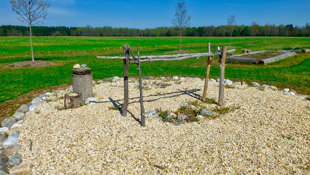 Red LoopHiking · ~18 min drivePhoto: krossbow, CC BY 2.0 (via Flickr)
- Blue TrailHiking · Next doorPhoto: krossbow, CC BY 2.0 (via Flickr)
- Perimeter TrailHiking · ~11 min drive
- Connector TrailHiking · Next doorPhoto: krossbow, CC BY 2.0 (via Flickr)
- Mount Vernon TrailHiking · ~12 min drive
- Purple TrailHiking · ~1 min drivePhoto: krossbow, CC BY 2.0 (via Flickr)
 Fort Washington TrailHiking · ~10 min drivePhoto: TrailVoice, CC BY-SA 2.0 (via Wikimedia Commons)
 Agricultural Heritage TrailHiking · ~11 min drivePhoto: krossbow, CC BY 2.0 (via Flickr)
 Agricultural Heritage TrailHiking · ~11 min drivePhoto: krossbow, CC BY 2.0 (via Flickr)
Best time to visit Orange Trail
Best months: March–April, June and September–November. Best months have typical highs of 55–85 °F, lows of 30 °F or warmer (32 °F where the station doesn't record snow), at most one snowy day and no more than 12 wet days.
Jan
44° / 27°
11 wet
Feb
48° / 28°
10 wet
Mar
56° / 35°
12 wet
Apr
67° / 45°
12 wet
May
76° / 55°
13 wet
Jun
84° / 64°
11 wet
Jul
88° / 69°
11 wet
Aug
87° / 67°
10 wet
Sep
80° / 61°
9 wet
Oct
68° / 48°
10 wet
Nov
57° / 39°
10 wet
Dec
48° / 31°
11 wet
Typical high / low (°F) and days with rain or snow, 1991–2020. Measured at Oxon Hill, MD, 5.9 mi away at 190 ft. This station doesn't record snowfall. Source: NOAA NCEI U.S. Climate Normals 1991–2020.
Map and trail data © OpenStreetMap contributors
