Holly Loop
- 0.9 mi
- loop
- 116 ft
- climb
- 423 ft
- high point
- Loop
- route
- Mar–Jun, Sep–Nov
- best months
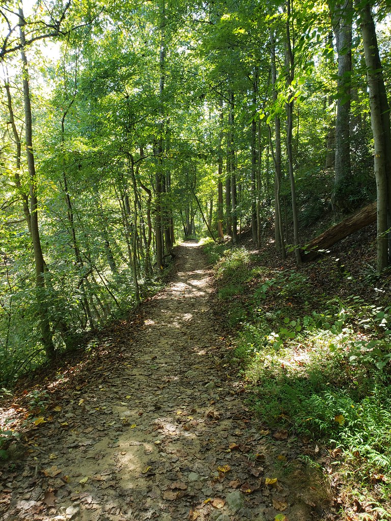
Holly Loop is a short, easy loop hike in Maryland, about 0.9 miles long and roughly 116 feet of elevation gain. It starts and ends at nearly the same elevation, with a high point of about 423 feet and a low of about 337 feet. The steepest stretch comes at about 0.77 miles in, with a grade of about 5 percent. The trail is close to Castlegate, about 0.4 miles away. Spring and fall are the most comfortable times to go. Typical averages from a nearby weather station in Laurel show October highs around 69°F and May highs around 75°F, while July averages climb to about 89°F. The loop makes a quick outing, estimated to take about half an hour. Holly Trail and Silverwood Trail, both mountain biking routes, sit about 0.1 mile away, and Crowsfoot Trail is about 0.3 mile off. For climbing, The Horizontal Boulder is about 3.3 miles away.
- Holly TrailMountain biking0.1 mi
- Silverwood TrailMountain biking0.1 mi
- Crowsfoot TrailHiking0.3 mi
- The Horizontal BoulderRock climbing3.3 mi
- The Great BoulderRock climbing3.3 mi
 Northwest Branch Anacostia RiverCanoeingPhoto: Paul from USA, CC BY-SA 2.0 (via Wikimedia Commons)5.1 mi
- Greenbelt Park Picnic AreasCamping7.8 mi
- Middle Patuxent RiverCanoeing9.6 mi
Source: Roamze catalog (indexable pages within 10 miles, PostGIS distance)
 Green TrailHiking · ~10 min drivePhoto: USDAgov, Public Domain Mark (via Flickr)
- Copperhead Run TrailHiking · ~10 min drive
 Northwood-Chesapeake Bay TrailHiking · ~10 min drivePhoto: inkdroid, CC BY 2.0 (via Flickr)
- Raven's RunHiking · ~11 min drive
- Green TrailHiking · ~10 min drivePhoto: USDAgov, Public Domain Mark (via Flickr)
 Purple TrailHiking · ~10 min drivePhoto: Jstuby, CC0 (via Wikimedia Commons)
 Matthew Henson TrailHiking · ~11 min drivePhoto: TrailVoice, CC BY-SA 2.0 (via Wikimedia Commons)
 Patuxent Branch TrailHiking · ~11 min drivePhoto: USDAgov, Public Domain Mark (via Flickr)
- Silverwood TrailHiking · Next door
- Crowsfoot TrailHiking · Next door
Also worth it near here
- Supplee LaneBoat launch · ~5 min drive
- Cherry Hill ParkCamping · ~8 min drive
- Northwest Branch Anacostia RiverCanoeing · ~9 min drivePhoto: Paul from USA, CC BY-SA 2.0 (via Wikimedia Commons)
 Northwest Branch TrailMountain biking · ~9 min drivePhoto: G. Edward Johnson, CC BY 3.0 (via Wikimedia Commons)
Best time to visit Holly Loop
Best months: March–June and September–November. Best months have typical highs of 55–85 °F, lows of 30 °F or warmer (32 °F where the station doesn't record snow), at most one snowy day and no more than 12 wet days.
Jan
43° / 26°
9 wet
Feb
46° / 28°
9 wet
Mar
55° / 35°
10 wet
Apr
67° / 45°
10 wet
May
75° / 55°
11 wet
Jun
84° / 64°
10 wet
Jul
89° / 69°
10 wet
Aug
87° / 68°
9 wet
Sep
80° / 61°
8 wet
Oct
69° / 50°
9 wet
Nov
57° / 39°
9 wet
Dec
47° / 31°
10 wet
Typical high / low (°F) and days with rain or snow, 1991–2020. Measured at Laurel 3 W, MD, 1.6 mi away at 400 ft. This station doesn't record snowfall. Source: NOAA NCEI U.S. Climate Normals 1991–2020.
Map and trail data © OpenStreetMap contributors
