Purple Trail
 Photo: Jstuby, CC0 (via Wikimedia Commons)
- 0.3 mi
- round trip
- 217 ft
- climb
- 426 ft
- high point
- Out and back
- route
- Mar–Jun, Sep–Nov
- best months
The Purple Trail is a short out-and-back hike in Maryland, about a third of a mile from the town of Huntington. It covers roughly 0.68 miles of trail, with a total elevation gain of 217 feet, and it is rated easy. The route starts at an elevation of about 290 feet, climbs to a high point of 426 feet, and then descends back to the start, with the steepest stretch coming early on at around 13%. For comfortable weather, late spring and early fall are the best bets. Typical averages from a nearby weather station in Laurel put May highs around 75°F and September highs around 80°F, while July averages reach 89°F and January highs sit near 43°F. The trail is close to other outdoor spots. Murray Hill Road Boulders, a climbing area, is just 0.1 mile away, and the White Trail and the North side of river are each about 0.3 mile off. Orange Trail is about 0.6 mile away.
 Murray Hill Road BouldersRock climbingPhoto: Jstuby, CC0 (via Wikimedia Commons)0.1 mi
- White TrailHiking0.3 mi
- North side of riverRock climbingPhoto: Jstuby, CC0 (via Wikimedia Commons)0.3 mi
- Orange TrailHiking0.6 mi
- Fisherman's TrailHiking0.7 mi
- Patuxent Branch TrailHiking0.8 mi
- Eden BrookRock climbing1.5 mi
- Middle Patuxent RiverCanoeing6.5 mi
Source: Roamze catalog (indexable pages within 10 miles, PostGIS distance)
 Green TrailHiking · ~2 min drivePhoto: USDAgov, Public Domain Mark (via Flickr)
- South Wind TrailHiking · ~8 min drive
 Patuxent Branch TrailHiking · ~2 min drivePhoto: USDAgov, Public Domain Mark (via Flickr)
- Green TrailHiking · ~2 min drivePhoto: USDAgov, Public Domain Mark (via Flickr)
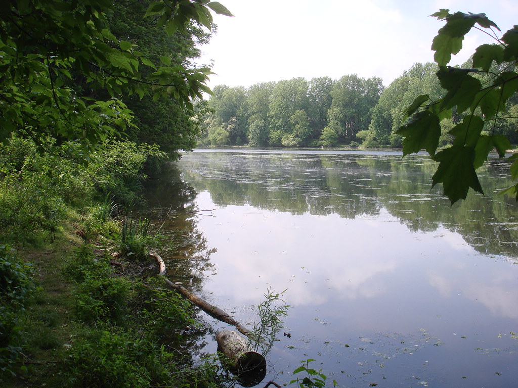 Lake Elkhorn LoopHiking · ~3 min drivePhoto: Fuzzy Gerdes, CC BY 2.0 (via Flickr)
- Elkhorn Branch TrailHiking · ~4 min drivePhoto: Fuzzy Gerdes, CC BY 2.0 (via Flickr)
 Blandair Hunting TrailHiking · ~7 min drivePhoto: cdsessums, CC BY-SA 2.0 (via Flickr)
 Nu TrailHiking · ~11 min drivePhoto: krossbow, CC BY 2.0 (via Flickr)
 Old Columbia Bike TrailHiking · ~12 min drivePhoto: Lkar Kasamon, CC BY-SA 3.0 (via Wikimedia Commons)
 Little Patuxent River TrailHiking · ~12 min drivePhoto: krossbow, CC BY 2.0 (via Flickr)
Best time to visit Purple Trail
Best months: March–June and September–November. Best months have typical highs of 55–85 °F, lows of 30 °F or warmer (32 °F where the station doesn't record snow), at most one snowy day and no more than 12 wet days.
Jan
43° / 26°
9 wet
Feb
46° / 28°
9 wet
Mar
55° / 35°
10 wet
Apr
67° / 45°
10 wet
May
75° / 55°
11 wet
Jun
84° / 64°
10 wet
Jul
89° / 69°
10 wet
Aug
87° / 68°
9 wet
Sep
80° / 61°
8 wet
Oct
69° / 50°
9 wet
Nov
57° / 39°
9 wet
Dec
47° / 31°
10 wet
Typical high / low (°F) and days with rain or snow, 1991–2020. Measured at Laurel 3 W, MD, 5.6 mi away at 400 ft. This station doesn't record snowfall. Source: NOAA NCEI U.S. Climate Normals 1991–2020.
Map and trail data © OpenStreetMap contributors
