Hemlock Gorge Trail
- 0.3 mi
- round trip
- 88 ft
- climb
- 552 ft
- high point
- Out and back
- route
- Jun–Oct
- best months
Hemlock Gorge Trail is a short, moderate hike in Maryland, set within the Pretty Boy Reservoir area. The route is an out-and-back of about 0.66 miles, with a total elevation gain of 88 feet, and it is rated moderate. The trail starts and ends at roughly 526 feet, with the high point at 552 feet. The most comfortable months for a visit are typically late spring and early fall. Typical averages from a nearby weather station show May highs around 73°F and September highs around 77°F, with October cooling to about 65°F. The trip takes about half an hour, so it works well as a quick outing. The trail sits within the Pretty Boy Reservoir land unit, and the closest nearby spot is Prettyboy Reservoir, about 2.7 miles away. Climbers can head to The Bonus Wall and The Reservoir Wall, both within about 6 miles, and the Highland Trail is about 7 miles off.
Local outfitters
- Gettysburg Licensed Town Guides26 mi away
- Strasburg Scooters & Tours38 mi away
Not on Roamze yet. Their page has how to reach them.
- Prettyboy ReservoirLake fishing2.7 mi
- Torrey C. Brown TrailMountain biking4.7 mi
- The Bonus WallRock climbing5.6 mi
- The Reservoir WallRock climbing5.7 mi
- The FinRock climbing6.7 mi
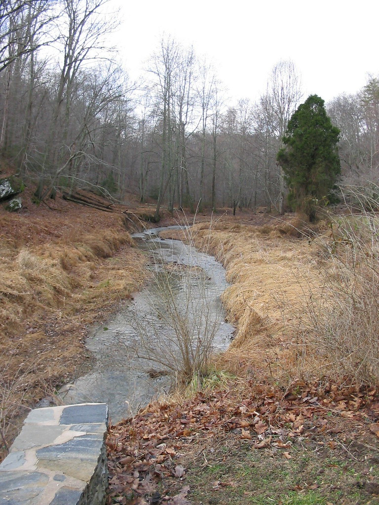 Highland TrailHikingPhoto: jeffcovey, CC BY-SA 2.0 (via Flickr)7.2 mi
- Gunpowder South Trail (White)HikingPhoto: jeffcovey, CC BY-SA 2.0 (via Flickr)7.3 mi
- Bunker Hill Trail (Blue)Hiking7.8 mi
Source: Roamze catalog (indexable pages within 10 miles, PostGIS distance)
- Highland TrailHiking · ~12 min drivePhoto: jeffcovey, CC BY-SA 2.0 (via Flickr)
- Gunpowder South Trail (White)Hiking · ~12 min drivePhoto: jeffcovey, CC BY-SA 2.0 (via Flickr)
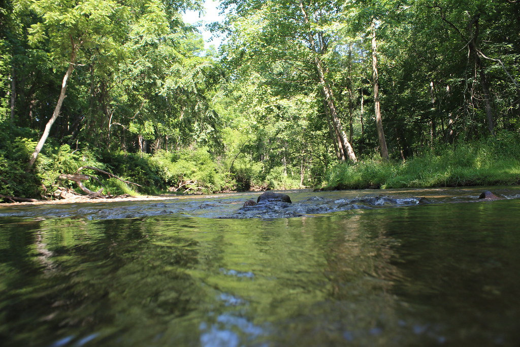 Gunpowder South Trail (White)Hiking · ~14 min drivePhoto: nikoretro, CC BY-SA 2.0 (via Flickr)
- Old Gunpowder South TrailHiking · ~14 min drivePhoto: nikoretro, CC BY-SA 2.0 (via Flickr)
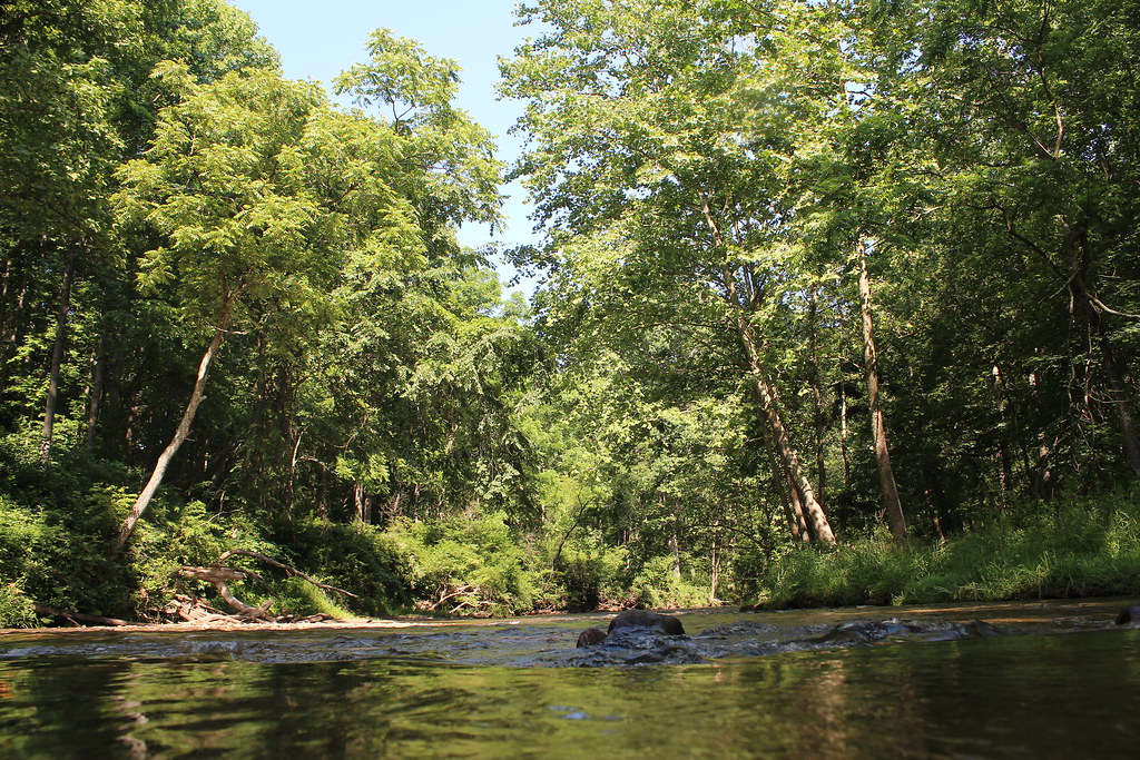 Sandy Lane TrailHiking · ~14 min drivePhoto: nikoretro, CC BY-SA 2.0 (via Flickr)
- Panther TrailHiking · ~14 min drivePhoto: nikoretro, CC BY-SA 2.0 (via Flickr)
 Ridge TrailHiking · ~24 min drivePhoto: cdsessums, CC BY-SA 2.0 (via Flickr)
- Miners TrailHiking · ~24 min drivePhoto: cdsessums, CC BY-SA 2.0 (via Flickr)
- Laurel TrailHiking · ~25 min drivePhoto: cdsessums, CC BY-SA 2.0 (via Flickr)
 Torrey C. Brown Rail TrailHiking · ~25 min drivePhoto: witchspace, CC BY 2.0 (via Flickr)
Best time to visit Hemlock Gorge Trail
Best months: June–October. Best months have typical highs of 55–85 °F, lows of 30 °F or warmer (32 °F where the station doesn't record snow), at most one snowy day and no more than 12 wet days.
Jan
40° / 24°
11 wet
Feb
43° / 25°
11 wet
Mar
52° / 32°
12 wet
Apr
65° / 42°
13 wet
May
73° / 51°
14 wet
Jun
81° / 60°
12 wet
Jul
85° / 64°
12 wet
Aug
83° / 63°
11 wet
Sep
77° / 56°
10 wet
Oct
65° / 45°
10 wet
Nov
54° / 36°
10 wet
Dec
44° / 28°
11 wet
Typical high / low (°F) and days with rain or snow, 1991–2020. Measured at Millers 4 Ne, MD, 2.6 mi away at 860 ft. This station doesn't record snowfall. Source: NOAA NCEI U.S. Climate Normals 1991–2020.
Map and trail data © OpenStreetMap contributors
