Site 9
Campground
Campground · 0.5 mi from the trail
 Photo: Ken Lund from Las Vegas, Nevada, USA, CC BY-SA 2.0 (via Wikimedia Commons)
No closures listed
The National Park Service lists no closures for Antietam National Battlefield.
As of · Source: NPS · Antietam National Battlefield. Agencies don't list every closure — check before you go.
Hawkins-FA Connect is a short, easy out-and-back hike in Antietam National Battlefield in Maryland, managed by the National Park Service. The route is about 0.8 miles long, with a total elevation gain of 100 feet, and it starts and ends at roughly 400 feet. The climb is front-loaded, with the steepest stretch at about 0.09 miles in, and the high point reaches about 490 feet. The hike is a quick addition to a visit to the battlefield. It pairs easily with other trails in the area. The Final Attack Trail and Snavely Ford Trail are each about 0.3 miles away, and the Union Advance Trail is about 0.5 miles off. For an overnight stay, Rohrbach Group Campground is about 1.8 miles away.
Site 9
Campground
 If it rainsAcroterion, CC BY-SA 4.0 · Wikimedia Commons
Schifferstadt Architectural Museum
Museum
Places © OpenStreetMap contributors, Places © Overture Maps Foundation · Photos: Acroterion, CC BY-SA 4.0 (commons)
More in Ballenger CreekNot on Roamze yet. Their page has how to reach them.
 Final Attack TrailHikingPhoto: Michael Barera, CC BY-SA 4.0 (via Wikimedia Commons)0.3 miSnavely Ford TrailHikingPhoto: Michael Barera, CC BY-SA 4.0 (via Wikimedia Commons)0.3 mi
 Union Advance TrailHikingPhoto: Michael Barera, CC BY-SA 4.0 (via Wikimedia Commons)0.5 miSherrick Farm TrailHikingPhoto: Michael Barera, CC BY-SA 4.0 (via Wikimedia Commons)0.5 mi
Source: Roamze catalog (indexable pages within 10 miles, PostGIS distance)
Final Attack TrailHiking · Next doorPhoto: Michael Barera, CC BY-SA 4.0 (via Wikimedia Commons)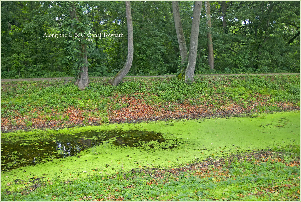 Chesapeake and Ohio Canal TrailHiking · ~4 min drivePhoto: Ron Cogswell, CC BY 2.0 (via Flickr)
 Chesapeake and Ohio Canal TrailHiking · ~10 min drivePhoto: Maryland Historical Society., Public domain (via Wikimedia Commons)Chesapeake and Ohio Canal TrailHiking · ~13 min drivePhoto: Maryland Historical Society., Public domain (via Wikimedia Commons)Snavely Ford TrailHiking · Next doorPhoto: Michael Barera, CC BY-SA 4.0 (via Wikimedia Commons)Sherrick Farm TrailHiking · Next doorPhoto: Michael Barera, CC BY-SA 4.0 (via Wikimedia Commons)Union Advance TrailHiking · Next doorPhoto: Michael Barera, CC BY-SA 4.0 (via Wikimedia Commons)
Best months: April–June and August–November. Best months have typical highs of 55–85 °F, lows of 30 °F or warmer (32 °F where the station doesn't record snow), at most one snowy day and no more than 12 wet days.
Jan
41° / 21°
Feb
44° / 23°
Mar
53° / 29°
Apr
65° / 39°
May
74° / 49°
Jun
82° / 58°
Jul
86° / 62°
Aug
85° / 61°
Sep
78° / 54°
Oct
67° / 42°
Nov
56° / 32°
Dec
45° / 25°
Typical high / low (°F) and days with rain or snow, 1991–2020. Measured at Sharpsburg 5 S, MD, 3.6 mi away at 400 ft. This station doesn't record snowfall. Source: NOAA NCEI U.S. Climate Normals 1991–2020.


