Chimney Pond Trail
- 0.1 mi
- round trip
- 25 ft
- climb
- 2,869 ft
- high point
- Out and back
- route
Chimney Pond Trail is a short cross-country skiing route in Baxter State Park in Maine, managed by State Park and Recreation. The trail is about 0.11 miles long and sits within a network of nearby hiking and climbing routes, with the Dudley Trail and North Basin Trail both about 0.3 miles away. The route is an out-and-back that starts near 2,850 feet and reaches a high point of about 2,869 feet. The climb is flat, with a total one-way gain of 25 feet. The steepest grade is about 3% at roughly 0.05 miles from the start. Several other destinations lie close by. The Chimney Couloir ski touring route is about 0.9 miles away, and the North Basin climbing area is about 0.6 miles away. Farther out, the Katahdin climbing area is about 3.3 miles away, and the West Branch Penobscot River offers river fishing about 6.4 miles away.
 Dudley TrailHikingPhoto: davidwilson1949, CC BY 2.0 (via Flickr)0.3 mi
 North Basin TrailHikingPhoto: davidwilson1949, CC BY 2.0 (via Flickr)0.3 mi
- Chimney Pond ("South") Basin - Summer Rock RoutesRock climbing0.3 mi
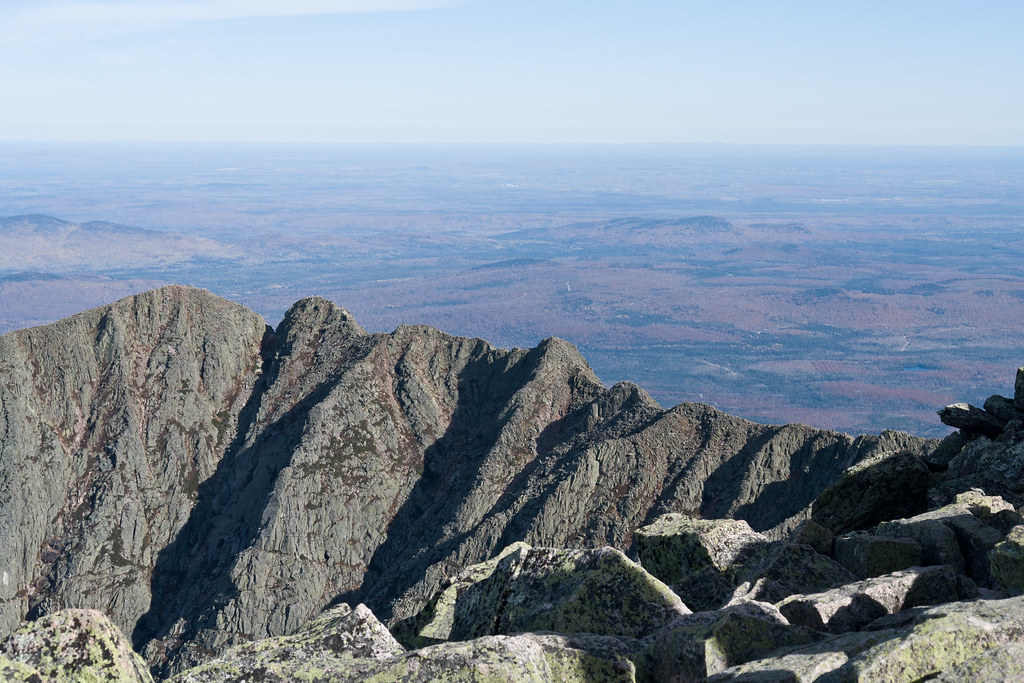 North Basin Cut-OffHikingPhoto: Pat Spinney, CC BY 2.0 (via Flickr)0.5 mi
 North BasinRock climbingPhoto: Famartin, CC BY-SA 4.0 (via Wikimedia Commons)0.6 mi
- The Chimney CouloirSki touring0.9 mi
- KatahdinRock climbing3.3 mi
- West Branch Penobscot RiverRiver fishing6.4 mi
Source: Roamze catalog (indexable pages within 10 miles, PostGIS distance)
- Chimney Pond TrailCross-country skiing · Next door
- The Chimney CouloirSki touring · ~2 min drive
- Chimney Pond TrailCross-country skiing · Next door
- Chimney Pond TrailCross-country skiing · Next door
- Chimney Pond TrailCross-country skiing · Next door
- Chimney Pond TrailCross-country skiing · Next door
- Chimney Pond TrailCross-country skiing · ~2 min drive
- Russell Pond TrailCross-country skiing · ~4 min drive
- Chimney Pond TrailCross-country skiing · ~4 min drive
- Chimney Pond TrailCross-country skiing · ~4 min drive
Map and trail data © OpenStreetMap contributors
