Sentier Du Garde-Feu
- 2.6 mi
- one way
- 789 ft
- climb
- 2,121 ft
- high point
- Point to point
- route
- May–Jun, Aug–Sep
- best months
Sentier Du Garde-Feu is a 2.6-mile point-to-point hike in northern Maine, with a high point of 2,121 feet and a low of 1,207 feet. The trail starts at about 1,312 feet and gains 789 feet before descending to the lower end. It is rated easy, and the trip takes about 1.5 hours. The nearest town is Lac Frontiere, about 6 miles away. The route is part of a network of short trails, and two others sit right beside it: Sentier Le Beauregard is about 0.1 mile away and Sentier Les Castors about 0.2 mile away. Summer is the most comfortable time to go. Typical July averages from a nearby weather station run to a high of 76°F and a low of 52°F, though that station sits about 1,100 feet lower, so temperatures on the trail run cooler. Winters are cold, with January highs around 20°F. Other hikes within a few miles include Sentier Du Pont-Brûlé, about 3 miles away, and Sentier Des Chutes De La Devost, about 3.9 miles away.
- Sentier Le BeauregardHiking0.1 mi
- Sentier Les CastorsHiking0.2 mi
- Sentier Du Pont-BrûléHiking3 mi
- Sentier Le PêcheurHiking3.2 mi
- Sentier Des Chutes De La DevostHiking3.9 mi
- Sentier Du Petit Lac Des VasesHiking3.9 mi
- Sentier Le PortageHiking3.9 mi
- Sentier De La Montagne Du LacHiking4.1 mi
Source: Roamze catalog (indexable pages within 10 miles, PostGIS distance)
 Sentier De La TraverséeHiking · ~34 min drivePhoto: sambouchard418, CC BY-SA 2.0 (via Flickr)
 Sentier Des RavagesHiking · ~35 min drivePhoto: Pierre-Arnaud KOPP from REIGNIER, France, CC BY 2.0 (via Wikimedia Commons)
- Sentier Des PasserellesHiking · ~36 min drivePhoto: sambouchard418, CC BY-SA 2.0 (via Flickr)
- Sentier Des OrignauxHiking · ~19 min drive
- Sentier Du Mont-ChocolatHiking · ~36 min drivePhoto: Pierre-Arnaud KOPP from REIGNIER, France, CC BY 2.0 (via Wikimedia Commons)
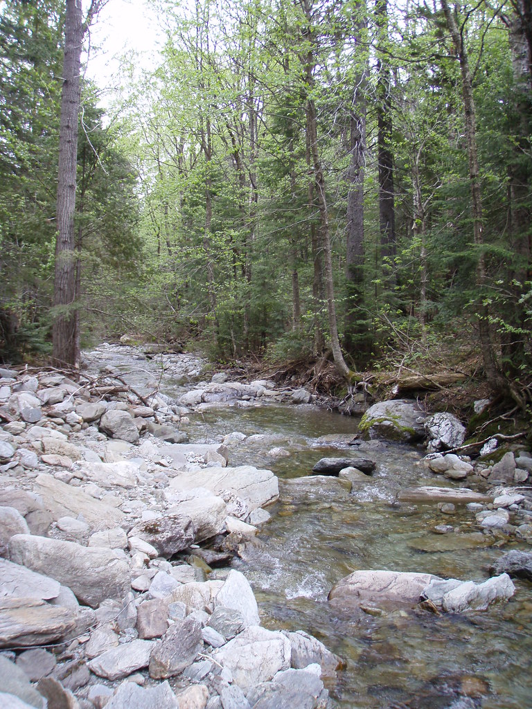 Sentier Des ParoisHiking · ~36 min drivePhoto: sambouchard418, CC BY-SA 2.0 (via Flickr)
 Sentier Des GéantsHiking · ~37 min drivePhoto: Pierre-Arnaud KOPP from REIGNIER, France, CC BY 2.0 (via Wikimedia Commons)
- Sentier De La SlousseHiking · ~37 min drivePhoto: Pierre-Arnaud KOPP from REIGNIER, France, CC BY 2.0 (via Wikimedia Commons)
- Sentier Des DryadesHiking · ~38 min drivePhoto: Pierre-Arnaud KOPP from REIGNIER, France, CC BY 2.0 (via Wikimedia Commons)
- Sentier Des SourcesHiking · ~38 min drivePhoto: Pierre-Arnaud KOPP from REIGNIER, France, CC BY 2.0 (via Wikimedia Commons)
Best time to visit Sentier Du Garde-Feu
Best months: May–June and August–September. Best months have typical highs of 55–85 °F, lows of 30 °F or warmer (32 °F where the station doesn't record snow), at most one snowy day and no more than 12 wet days.
Jan
20° / -4°
10 wet
Feb
23° / -4°
9 wet
Mar
34° / 7°
9 wet
Apr
46° / 25°
10 wet
May
61° / 37°
11 wet
Jun
71° / 47°
12 wet
Jul
76° / 52°
13 wet
Aug
74° / 50°
10 wet
Sep
66° / 41°
10 wet
Oct
51° / 31°
12 wet
Nov
38° / 22°
11 wet
Dec
26° / 7°
11 wet
Typical high / low (°F) and days with rain or snow, 1991–2020. Measured at Clayton Lake, ME, 28.4 mi away at 1,000 ft. The station sits about 1,100 ft lower than this place, so expect it a little cooler here. This station doesn't record snowfall. Source: NOAA NCEI U.S. Climate Normals 1991–2020.

Map and trail data © OpenStreetMap contributors
