Sentier Des Tourbières
- 2.2 mi
- one way
- 21 ft
- climb
- 1,179 ft
- high point
- Point to point
- route
- May–Jun, Aug–Sep
- best months
Sentier Des Tourbières is an easy hike in Maine, about 3 miles from the town of Daaquam. The trail is a point-to-point route of roughly 2.2 miles, with a total elevation gain of about 21 feet. The climb is gentle, and the steepest stretch comes at about 1.6 miles in, with a grade of about 5 percent. Summer is the most comfortable time to go. Typical averages from the nearby Clayton Lake weather station show July highs around 76°F with lows near 52°F, while winter highs stay in the 20s. Two other hikes sit close by. Sentier Le Frontalier is under a mile away, and Sentier Le Trappeur is about 1.6 miles off.
Source: Roamze catalog (indexable pages within 10 miles, PostGIS distance)
 Sentier De La TraverséeHiking · ~34 min drivePhoto: sambouchard418, CC BY-SA 2.0 (via Flickr)
 Sentier Des GéantsHiking · ~34 min drivePhoto: Pierre-Arnaud KOPP from REIGNIER, France, CC BY 2.0 (via Wikimedia Commons)
- Sentier De La SlousseHiking · ~34 min drivePhoto: Pierre-Arnaud KOPP from REIGNIER, France, CC BY 2.0 (via Wikimedia Commons)
- Sentier Des OrignauxHiking · ~24 min drive
 Sentier Des RavagesHiking · ~35 min drivePhoto: Pierre-Arnaud KOPP from REIGNIER, France, CC BY 2.0 (via Wikimedia Commons)
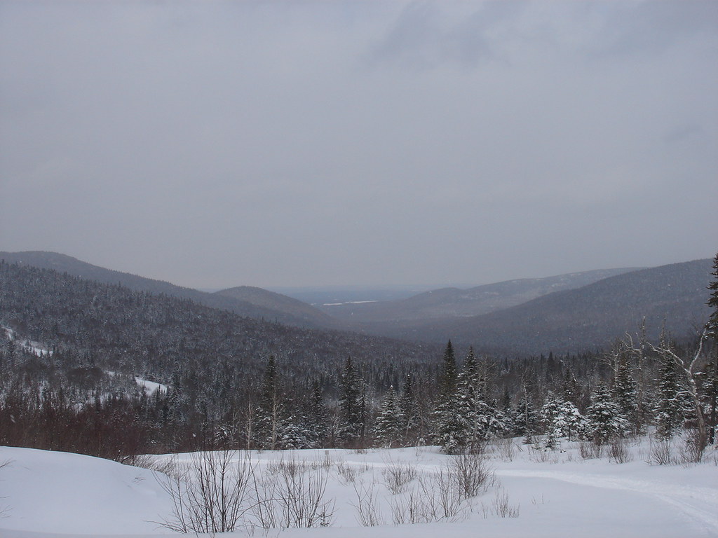 Sentier Du Versant SudHiking · ~35 min drivePhoto: sambouchard418, CC BY-SA 2.0 (via Flickr)
- Sentier Du Mont-ChocolatHiking · ~36 min drivePhoto: Pierre-Arnaud KOPP from REIGNIER, France, CC BY 2.0 (via Wikimedia Commons)
- Sentier Des PasserellesHiking · ~35 min drivePhoto: sambouchard418, CC BY-SA 2.0 (via Flickr)
- Sentier Des DryadesHiking · ~36 min drivePhoto: Pierre-Arnaud KOPP from REIGNIER, France, CC BY 2.0 (via Wikimedia Commons)
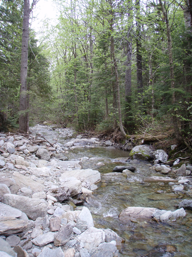 Sentier Des ParoisHiking · ~35 min drivePhoto: sambouchard418, CC BY-SA 2.0 (via Flickr)
Also worth it near here
Best time to visit Sentier Des Tourbières
Best months: May–June and August–September. Best months have typical highs of 55–85 °F, lows of 30 °F or warmer (32 °F where the station doesn't record snow), at most one snowy day and no more than 12 wet days.
Jan
20° / -4°
10 wet
Feb
23° / -4°
9 wet
Mar
34° / 7°
9 wet
Apr
46° / 25°
10 wet
May
61° / 37°
11 wet
Jun
71° / 47°
12 wet
Jul
76° / 52°
13 wet
Aug
74° / 50°
10 wet
Sep
66° / 41°
10 wet
Oct
51° / 31°
12 wet
Nov
38° / 22°
11 wet
Dec
26° / 7°
11 wet
Typical high / low (°F) and days with rain or snow, 1991–2020. Measured at Clayton Lake, ME, 25 mi away at 1,000 ft. This station doesn't record snowfall. Source: NOAA NCEI U.S. Climate Normals 1991–2020.

Map and trail data © OpenStreetMap contributors
