Raven Tag Trail
- 0.4 mi
- round trip
- 128 ft
- climb
- 806 ft
- high point
- Out and back
- route
- Sep
- best months
Raven Tag Trail is an easy, out-and-back hike in Maine, about 1.7 miles from the town of Monson. The route is short and low, with a total round-trip length of about 0.74 miles and a total elevation gain of about 128 feet, which makes it an easy addition to a day spent in the area. The trail rises to a high point of about 806 feet, with the steepest section coming at about 0.15 miles in. It is back-loaded, so the climb is a little more noticeable on the return leg than on the way out. Summer and early fall are the mildest times to visit. Typical averages from a nearby weather station in Greenville run to highs around 75°F in July and 66°F in September. Winters are cold, with January highs near 23°F and lows around 5°F. The hike takes about half an hour to complete. The Coyote Connector and Accipiter Alley Loop cross-country ski routes both lie about 0.2 miles away, and the Fierce Fisher Loop and Wolf Chase Loop hiking routes are each about 0.3 miles off.
Local outfitters
- Northeast Whitewater6 mi away
Not on Roamze yet. Their page has how to reach them.
- Coyote ConnectorCross-country skiing0.2 mi
- Accipiter Alley LoopCross-country skiing0.2 mi
- Bobcat BlazeCross-country skiing0.3 mi
- Fierce Fisher LoopHiking0.3 mi
- Wolf Chase LoopHiking0.3 mi
- T-Rex LoopCross-country skiing0.4 mi
- Meandering MooseHiking0.5 mi
- Craig's Orchard LoopHiking0.6 mi
Source: Roamze catalog (indexable pages within 10 miles, PostGIS distance)
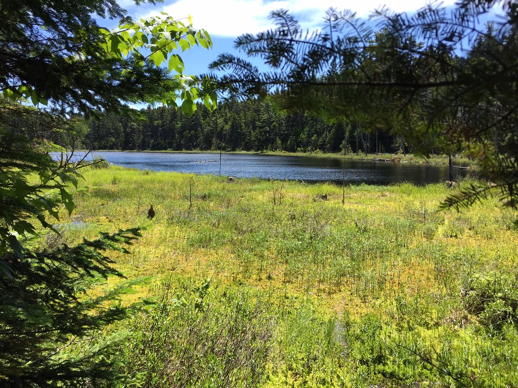 Appalachian TrailHiking · ~5 min drivePhoto: John Hayes (gravelboy), CC BY-SA 2.0 (via Flickr)
- Appalachian TrailHiking · ~8 min drive
- Appalachian TrailHiking · ~10 min drive
- Appalachian TrailHiking · ~6 min drivePhoto: John Hayes (gravelboy), CC BY-SA 2.0 (via Flickr)
- Base TrailHiking · ~11 min drive
- Appalachian TrailHiking · ~16 min drive
- Bobcat BlazeHiking · Next door
- Appalachian TrailHiking · ~17 min drive
- Appalachian TrailHiking · ~19 min drive
- Fierce Fisher LoopHiking · Next door
Best time to visit Raven Tag Trail
Best months: September. Best months have typical highs of 55–85 °F, lows of 30 °F or warmer (32 °F where the station doesn't record snow), at most one snowy day and no more than 12 wet days.
Jan
23° / 5°
13 wet
Feb
25° / 7°
12 wet
Mar
34° / 17°
13 wet
Apr
46° / 29°
13 wet
May
62° / 41°
14 wet
Jun
70° / 51°
14 wet
Jul
75° / 57°
15 wet
Aug
74° / 56°
13 wet
Sep
66° / 48°
11 wet
Oct
52° / 37°
13 wet
Nov
39° / 26°
14 wet
Dec
28° / 15°
16 wet
Typical high / low (°F) and days with rain or snow, 1991–2020. Measured at Greenville Maine Forestry Svc, ME, 11.3 mi away at 1,037 ft. This station doesn't record snowfall. Source: NOAA NCEI U.S. Climate Normals 1991–2020.
Map and trail data © OpenStreetMap contributors
