Lamotte Creek
- 4.6 mi
- round trip
- 566 ft
- climb
- 145 ft
- high point
- Out and back
- route
- Oct–May
- best months
Is Lamotte Creek open right now?
Alert in the area
The Forest Service lists an alert for Kisatchie National Forest.
Enduro Multiple-Use Trail Closure
Agency alert covering Kisatchie National Forest · Order 08-06-05-25-01 · USFS · Kisatchie National Forest
As of · Source: USFS · Kisatchie National Forest. Agencies don't list every closure — check before you go.
Lamotte Creek is a 4.6-mile out-and-back hike on natural surface in the Calcasieu Ranger District of Kisatchie National Forest in Louisiana. It rises from a low of 96 feet to a high of 145 feet, with a total elevation gain of about 44 feet, and the steepest stretch comes at about 0.79 miles in, reaching a grade of 11 percent. Spring and fall are the most comfortable times to visit. Typical averages from the nearby Alexandria airport weather station put April highs around 78°F and October highs around 80°F, while July and August average about 93°F. The trail is open year round, and bikes are allowed. Kincaid Campground and the Kincaid and Wild Azalea Spur hikes are all within a mile. Valentine Lake Rec Area is about 3.3 miles away.
 Kincaid CampgroundCampingPhoto: md. childress, CC BY 3.0 (via Wikimedia Commons)0.6 mi
- KincaidHiking0.9 mi
- Wild Azalea SpurHiking0.9 mi
- Evangeline UnitLake fishing1.5 mi
- Wild Azalea TrailHiking1.6 mi
- Valentine Lake Rec AreaCampingPhoto: md. childress, CC BY 3.0 (via Wikimedia Commons)3.3 mi
- Bayou Jean De JeanCanoeing9.2 mi
- Bayou RapidesCanoeing9.4 mi
Source: Roamze catalog (indexable pages within 10 miles, PostGIS distance)
 Longleaf Vista TrailHiking · ~46 min drivePhoto: US Forest Service - Southern Region, Public Domain Mark (via Flickr)
- LakeshoreHiking · ~3 min drive
- Glenn Emery MemorialHiking · ~38 min drive
 East Landing to South Landing TrailHiking · ~1h 6m drivePhoto: Editor B, CC BY 2.0 (via Flickr)
- Wild AzaleaHiking · ~5 min drive
- Turpentine Hill TrailHiking · ~47 min drive
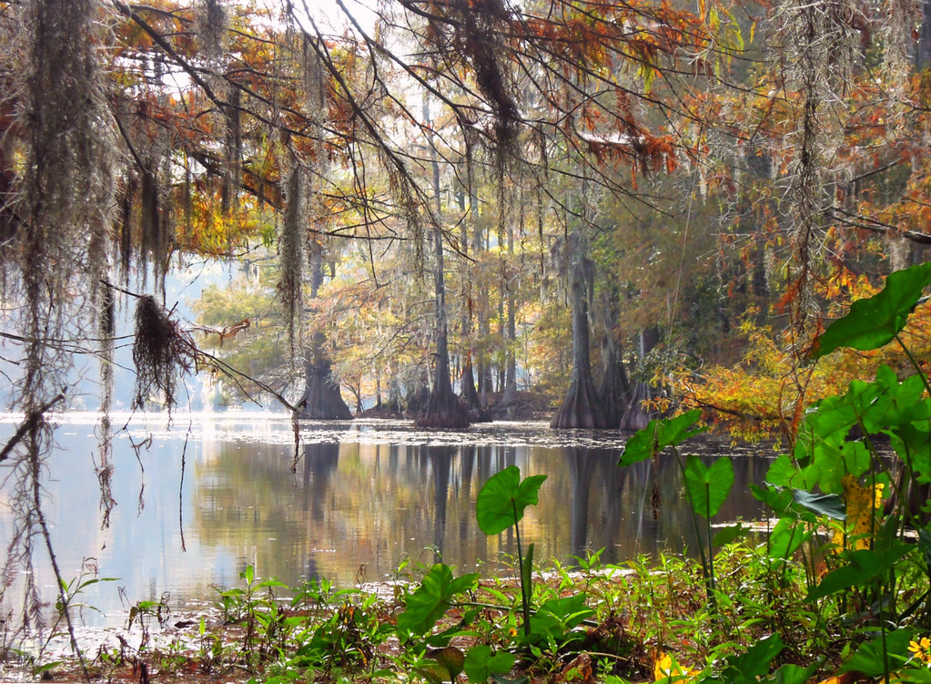 East Landing to South Landing TrailHiking · ~1h 7m drivePhoto: jillian.e, CC BY 2.0 (via Flickr)
- Caroline DormonHiking · ~48 min drive
- KincaidHiking · ~1 min drive
- East Landing to South Landing TrailHiking · ~1h 8m drivePhoto: jillian.e, CC BY 2.0 (via Flickr)
Best time to visit Lamotte Creek
Best months: October–May. Best months have typical highs of 55–85 °F, lows of 30 °F or warmer (32 °F where the station doesn't record snow), at most one snowy day and no more than 12 wet days.
Jan
60° / 39°
11 wet
Feb
64° / 42°
11 wet
Mar
71° / 49°
11 wet
Apr
78° / 55°
9 wet
May
85° / 64°
9 wet
Jun
90° / 71°
11 wet
Jul
93° / 73°
11 wet
Aug
93° / 72°
10 wet
Sep
89° / 67°
9 wet
Oct
80° / 55°
9 wet
Nov
69° / 45°
9 wet
Dec
61° / 41°
11 wet
Typical high / low (°F) and days with rain or snow, 1991–2020. Measured at Alexandria Intl Ap, LA, 7 mi away at 84 ft. This station doesn't record snowfall. Source: NOAA NCEI U.S. Climate Normals 1991–2020.
