Yost Ridge Trail
- 2.1 mi
- round trip
- 1,626 ft
- climb
- 777 ft
- high point
- Out and back
- route
- Mar, Jun
- best months
Clear at last check
Weather is good · OpenWeather · checked 12 h ago
Yost Ridge Trail is a 2.1-mile moderate hike in Jefferson Memorial Forest in Kentucky, on city-managed land. The trail is an out-and-back, and the round trip covers about 4.2 miles with a total elevation gain and loss of 1,626 feet. The high point is 777 feet, and the steepest stretch comes at about 0.9 miles in, with a grade of 18 percent. The most comfortable months for a visit are typically October and May, when typical averages from a nearby weather station run to highs around 70°F and 77°F. September and October also bring the fewest wet days of the year, with about eight to nine each month. Coral Ridge Trail starts just 0.1 mile away, and Mitchell Hill Lake Trail and Holsclaw Hill Loop are both within a mile. For paddling, Pond Creek is about 6.4 miles off.
- Coral Ridge TrailHiking0.1 mi
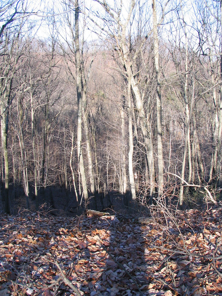 Mitchell Hill Lake TrailHikingPhoto: ConspiracyofHappiness, CC BY 2.0 (via Flickr)0.7 mi
- Holsclaw Hill LoopHiking0.8 mi
- Red TrailHiking0.8 mi
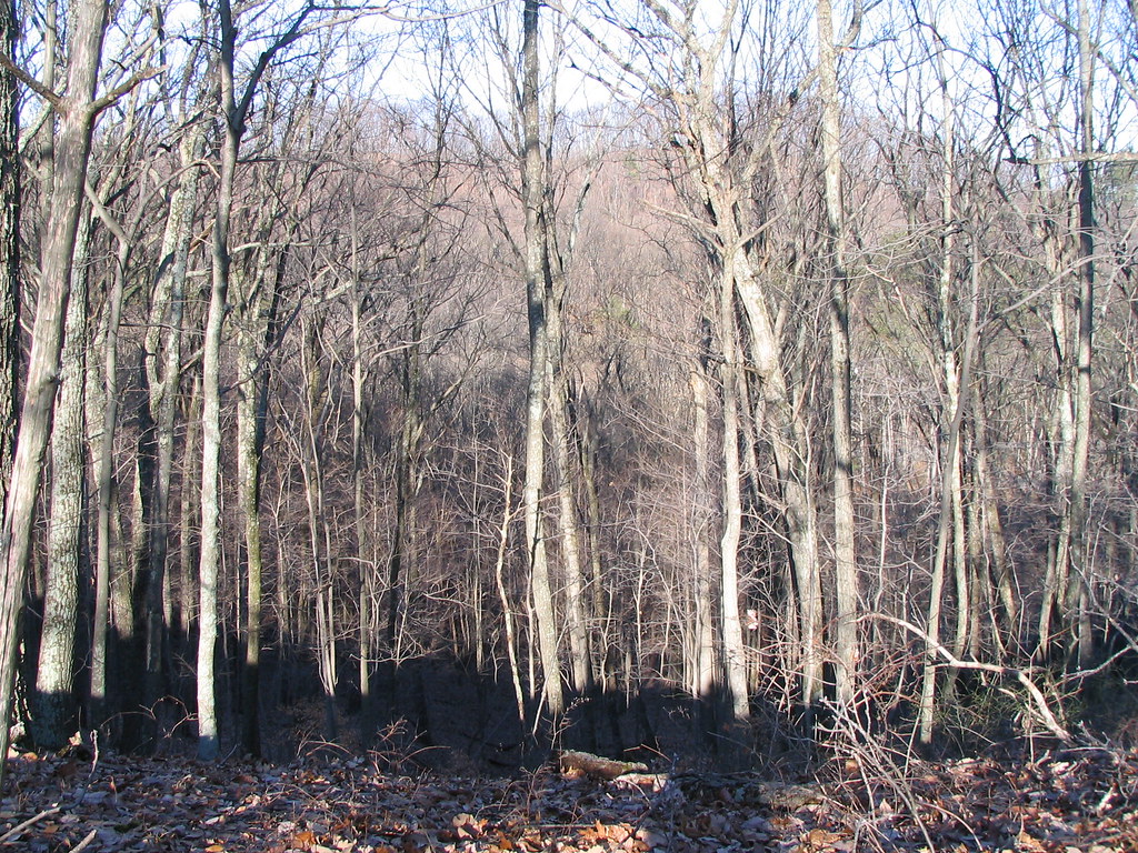 Orange TrailHikingPhoto: ConspiracyofHappiness, CC BY 2.0 (via Flickr)1 mi
- Siltstone TrailHikingPhoto: ConspiracyofHappiness, CC BY 2.0 (via Flickr)1 mi
- Pond CreekCanoeing6.4 mi
- Knob CreekCanoeing6.6 mi
Source: Roamze catalog (indexable pages within 10 miles, PostGIS distance)
- Mitchell Hill Lake TrailHiking · ~1 min drivePhoto: ConspiracyofHappiness, CC BY 2.0 (via Flickr)
- Orange TrailHiking · ~2 min drivePhoto: ConspiracyofHappiness, CC BY 2.0 (via Flickr)
- Siltstone TrailHiking · ~2 min drivePhoto: ConspiracyofHappiness, CC BY 2.0 (via Flickr)
- Coral Ridge TrailHiking · Next door
- Tom Wallace Lake Loop TrailHiking · ~2 min drivePhoto: ConspiracyofHappiness, CC BY 2.0 (via Flickr)
- Red TrailHiking · ~1 min drive
- Purple Heart - Lake ConnectorHiking · ~2 min drivePhoto: ConspiracyofHappiness, CC BY 2.0 (via Flickr)
- Scott's Gap TrailHiking · ~9 min drive
- Red Trail ShortcutHiking · ~3 min drivePhoto: ConspiracyofHappiness, CC BY 2.0 (via Flickr)
 Clinic LoopHiking · ~9 min drivePhoto: mdhill63, CC BY 2.0 (via Flickr)
Best time to visit Yost Ridge Trail
Best months: March, June and September–November. Best months have typical highs of 55–85 °F, lows of 30 °F or warmer (32 °F where the station doesn't record snow), at most one snowy day and no more than 12 wet days.
Jan
42° / 26°
12 wet
Feb
47° / 29°
11 wet
Mar
57° / 37°
12 wet
Apr
68° / 46°
13 wet
May
77° / 56°
13 wet
Jun
84° / 64°
12 wet
Jul
87° / 68°
11 wet
Aug
87° / 67°
9 wet
Sep
81° / 59°
8 wet
Oct
70° / 48°
9 wet
Nov
56° / 38°
10 wet
Dec
46° / 30°
13 wet
Typical high / low (°F) and days with rain or snow, 1991–2020. Measured at Louisville Wfo, KY, 6.1 mi away at 632 ft. This station doesn't record snowfall. Source: NOAA NCEI U.S. Climate Normals 1991–2020.
Map and trail data © OpenStreetMap contributors
