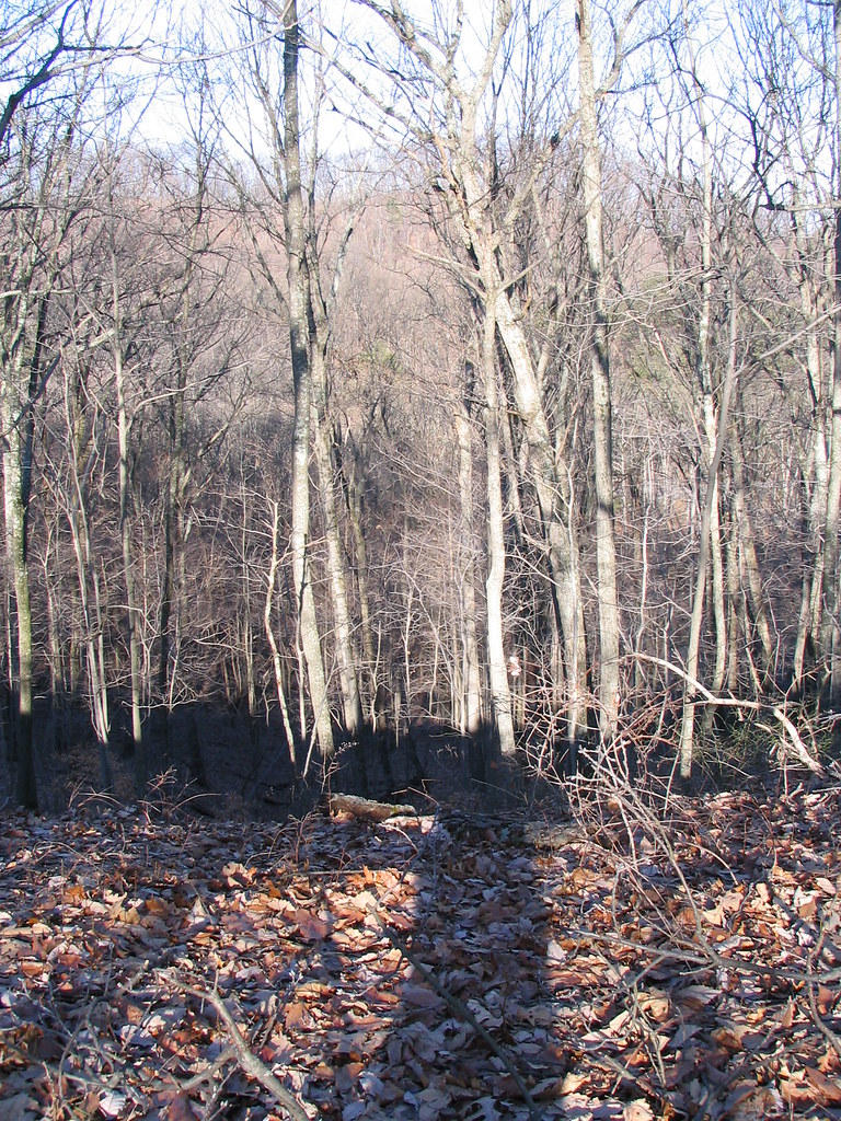
Miller Hill
- 813 ft
- summit
- 1
- way up
- Apr–May, Sep–Nov
- best months
Miller Hill is a summit in Kentucky, about 5.7 miles from the town of Hollyvilla. It sits at 813 feet of elevation. Spring and fall are the most comfortable times to visit. Typical averages from a nearby weather station in Louisville show October highs around 70°F with lows near 50°F, and April is similar at about 70°F by day and 48°F at night. That station sits a few hundred feet lower than the summit, so temperatures on top run a little cooler. Scott's Gap Trail starts just 0.4 miles away, and Meadow Meander Trail is about half a mile off. Paddlers can head to Pond Creek, roughly a mile away, or Knob Creek, about 2.7 miles away.
Conditions and forecast
Daily highs and lows, wind and the chance of precipitation at the summit and route start for the next 7 days, from the Open-Meteo model.
- Summit elevation
- 813 ft
Elevation from USGS 3D Elevation Program terrain data (about 10 m resolution).
Map © Mapbox © OpenStreetMap contributors Questions about Miller Hill
How tall is Miller Hill?
813 ft (248 m).
How many routes go to the summit of Miller Hill?
One: Scott's Gap Trail.
- Scott's Gap TrailHiking0.4 mi
- Meadow Meander TrailHiking0.5 mi
- Pond CreekCanoeing1 mi
- Knob CreekCanoeing2.7 mi
- Ohio River Levee TrailHiking3.4 mi
- White Oak Ridge TrailHiking4 mi
- Mosquito CreekCanoeing7.6 mi
- South Fork Buck CreekCanoeing9.8 mi
Source: Roamze catalog (indexable pages within 10 miles, PostGIS distance)
Best time to visit Miller Hill
Best months: April–May and September–November. Best months have typical highs of 55–85 °F, lows of 30 °F or warmer (32 °F where the station doesn't record snow), at most one snowy day and no more than 12 wet days.
Jan
44° / 28°
11 wet · 4 snow
Feb
48° / 31°
10 wet · 4 snow
Mar
58° / 39°
12 wet · 2 snow
Apr
70° / 48°
12 wet
May
78° / 59°
12 wet
Jun
86° / 67°
11 wet
Jul
89° / 71°
10 wet
Aug
88° / 70°
8 wet
Sep
82° / 62°
8 wet
Oct
70° / 50°
8 wet
Nov
58° / 39°
10 wet · 1 snow
Dec
47° / 32°
12 wet · 2 snow
Typical high / low (°F) and days with rain or snow, 1991–2020. Measured at Louisville Intl Ap, KY, 10 mi away at 488 ft. Source: NOAA NCEI U.S. Climate Normals 1991–2020.