Horine Reservation Campground
- Yes
- fee
- Mar, Jun
- best months
Clear today
Weather is good · OpenWeather · checked 5 h ago
- At 861 ft
- Jefferson Memorial Forest
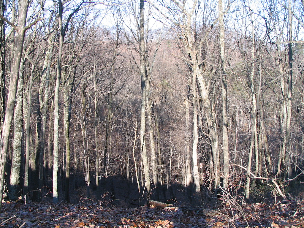
Horine Reservation Campground is a campground in Kentucky at about 861 feet.
Local outfitters
- Cave Country Canoes33 mi away
Not on Roamze yet. Their page has how to reach them.
Best time to go · Mar, Jun
Best time to visit Horine Reservation Campground
Best months: March, June and September–November. Best months have typical highs of 55–85 °F, lows of 30 °F or warmer (32 °F where the station doesn't record snow), at most one snowy day and no more than 12 wet days.
Jan
42° / 26°
12 wet
Feb
47° / 29°
11 wet
Mar
57° / 37°
12 wet
Apr
68° / 46°
13 wet
May
77° / 56°
13 wet
Jun
84° / 64°
12 wet
Jul
87° / 68°
11 wet
Aug
87° / 67°
9 wet
Sep
81° / 59°
8 wet
Oct
70° / 48°
9 wet
Nov
56° / 38°
10 wet
Dec
46° / 30°
13 wet
Typical high / low (°F) and days with rain or snow, 1991–2020. Measured at Louisville Wfo, KY, 7.1 mi away at 632 ft. This station doesn't record snowfall. Source: NOAA NCEI U.S. Climate Normals 1991–2020.
Keep exploring — more campsites worth the drive
BED
Brooks RV Park
~5 min drive
Brooks RV Park is a campground in Kentucky at about 508 feet.
BED
Louisville South KOA
~12 min drive
Louisville South KOA is a campground in Kentucky at about 483 feet.
BED
Grandma's RV Camping
~13 min drive
Grandma's RV Camping is a campground in Kentucky at about 449 feet.
BED
Salt River Recreation Park
~19 min drive
Salt River Recreation Park is a campground in Kentucky at about 431 feet.
BED
Site 1
~23 min drive
Site 1 is a campground in Kentucky at about 747 feet.
BED
Site 2
~23 min drive
Site 2 is a campground in Kentucky at about 749 feet.
BED
Site 3
~23 min drive
Site 3 is a campground in Kentucky at about 757 feet.
BED
Site 4
~23 min drive
Site 4 is a campground in Kentucky at about 761 feet.
BED
Site 6
~24 min drive
Site 6 is a campground in Kentucky at about 772 feet.
BED
Site 7
~24 min drive
Site 7 is a campground in Kentucky at about 768 feet.
Map and trail data © OpenStreetMap contributors
