Siltstone Trail
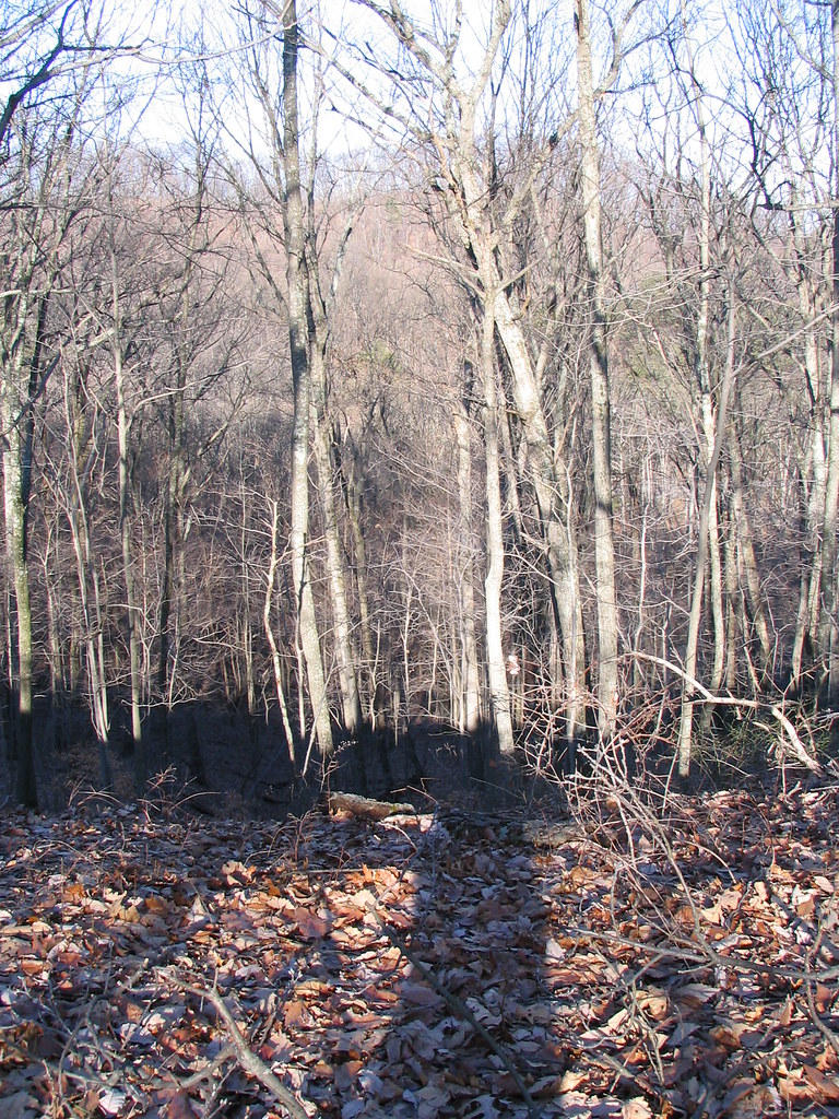 Photo: ConspiracyofHappiness, CC BY 2.0 (via Flickr)
- 6.6 mi
- round trip
- 3,532 ft
- climb
- 869 ft
- high point
- Out and back
- route
- Mar, Jun
- best months
Siltstone Trail is a hard out-and-back hike in Jefferson Memorial Forest in Kentucky, on city-managed land. The route is 13.2 miles long, with a total elevation gain of 3,532 feet, and it reaches a high point of 869 feet. The trail starts at about 574 feet and ends at the same elevation, so the climb is roughly 1,756 feet one way. The trail is steady, but it gets steep around mile 5.4, where the grade reaches 29 percent. That makes the hike a serious commitment, and it takes about six hours to complete. For comfortable weather, aim for late spring or early fall. Typical averages from a nearby weather station show May highs around 77°F and October highs around 70°F, with September and October seeing the fewest wet days of the year. Several other trails sit close by. The Tom Wallace Lake Loop Trail and the Purple Heart - Lake Connector are each about 0.3 miles away, and the Purple Heart Trail is about 0.5 miles off. Paddlers can find Pond Creek about 5.4 miles away.
 Tom Wallace Lake Loop TrailHikingPhoto: ConspiracyofHappiness, CC BY 2.0 (via Flickr)0.3 mi
- Purple Heart - Lake ConnectorHikingPhoto: ConspiracyofHappiness, CC BY 2.0 (via Flickr)0.3 mi
- Purple Heart TrailHiking0.5 mi
- Mitchell Hill Lake TrailHikingPhoto: ConspiracyofHappiness, CC BY 2.0 (via Flickr)0.6 mi
- Red TrailHiking0.7 mi
- Orange TrailHikingPhoto: ConspiracyofHappiness, CC BY 2.0 (via Flickr)0.8 mi
- Pond CreekCanoeing5.4 mi
- Knob CreekCanoeing5.8 mi
Source: Roamze catalog (indexable pages within 10 miles, PostGIS distance)
- Tom Wallace Lake Loop TrailHiking · Next doorPhoto: ConspiracyofHappiness, CC BY 2.0 (via Flickr)
- Mitchell Hill Lake TrailHiking · ~1 min drivePhoto: ConspiracyofHappiness, CC BY 2.0 (via Flickr)
- Purple Heart - Lake ConnectorHiking · Next doorPhoto: ConspiracyofHappiness, CC BY 2.0 (via Flickr)
- Red TrailHiking · ~1 min drive
- Orange TrailHiking · ~1 min drivePhoto: ConspiracyofHappiness, CC BY 2.0 (via Flickr)
- Coral Ridge TrailHiking · ~2 min drive
- Red Trail ShortcutHiking · ~2 min drivePhoto: ConspiracyofHappiness, CC BY 2.0 (via Flickr)
- Yost Ridge TrailHiking · ~2 min drive
 Clinic LoopHiking · ~8 min drivePhoto: mdhill63, CC BY 2.0 (via Flickr)
- Scott's Gap TrailHiking · ~8 min drive
Best time to visit Siltstone Trail
Best months: March, June and September–November. Best months have typical highs of 55–85 °F, lows of 30 °F or warmer (32 °F where the station doesn't record snow), at most one snowy day and no more than 12 wet days.
Jan
42° / 26°
12 wet
Feb
47° / 29°
11 wet
Mar
57° / 37°
12 wet
Apr
68° / 46°
13 wet
May
77° / 56°
13 wet
Jun
84° / 64°
12 wet
Jul
87° / 68°
11 wet
Aug
87° / 67°
9 wet
Sep
81° / 59°
8 wet
Oct
70° / 48°
9 wet
Nov
56° / 38°
10 wet
Dec
46° / 30°
13 wet
Typical high / low (°F) and days with rain or snow, 1991–2020. Measured at Louisville Wfo, KY, 7 mi away at 632 ft. This station doesn't record snowfall. Source: NOAA NCEI U.S. Climate Normals 1991–2020.
Map and trail data © OpenStreetMap contributors
