Yellow Trail
 Photo: hcampsey, CC BY-SA 3.0 (via Wikimedia Commons)
- 0.1 mi
- one way
- 48 ft
- climb
- 742 ft
- high point
- Point to point
- route
- Apr–Oct
- best months
Yellow Trail is a short, easy hike in Ohio, just 0.09 miles long and rising about 48 feet from a low point of 668 feet to a high of 742 feet. It sits close to the Kentucky line, with Ashland, Kentucky, about 0.7 miles away. The most comfortable months for a visit are typically September and October, when typical averages from a nearby weather station in Ashland, Kentucky, run from highs around 78°F and lows near 56°F in September to highs around 67°F and lows near 43°F in October. That station sits a few hundred feet lower than the trail, so temperatures on the trail run slightly cooler. The hike takes about half an hour. The Orange Trail lies just 0.2 miles away, and the High Knob Loop and Copperhead Trail are both about 8 miles off. For an overnight stay, Iron Ridge Campground is roughly 10 miles away.
- Orange TrailHikingPhoto: hcampsey, CC BY-SA 3.0 (via Wikimedia Commons)0.2 mi
 HIGH KNOB LOOPHikingPhoto: Wayne National Forest, Public Domain Mark (via Flickr)8 mi
- Copperhead TrailHikingPhoto: Wayne National Forest, Public Domain Mark (via Flickr)8 mi
- Hidden BoulderRock climbing8.9 mi
 Lake Vesuvius Recreation AreaLake fishing9.4 mi
- Baseball FieldRock climbing9.5 mi
- Ironton Ranger District - Ironton AreaLake fishing9.7 mi
- Iron Ridge CampgroundCamping9.9 mi
Source: Roamze catalog (indexable pages within 10 miles, PostGIS distance)
- Orange TrailHiking · Next doorPhoto: hcampsey, CC BY-SA 3.0 (via Wikimedia Commons)
- Copperhead TrailHiking · ~14 min drivePhoto: Wayne National Forest, Public Domain Mark (via Flickr)
- Hanging Rock TrailHiking · ~15 min drivePhoto: Wayne National Forest, Public Domain Mark (via Flickr)
- Michael Tygart TrailHiking · ~23 min drive
 Balancing RockHiking · ~15 min drivePhoto: Wayne National Forest, Public Domain Mark (via Flickr)
 Power Line TrailHiking · ~18 min drivePhoto: Wayne National Forest, Public Domain Mark (via Flickr)
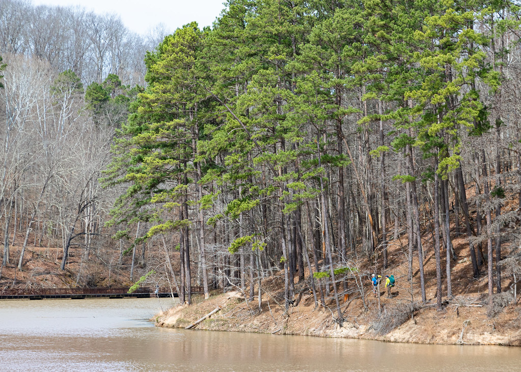 Lake ShoreHiking · ~17 min drivePhoto: Wayne National Forest, Public Domain Mark (via Flickr)
- Lakeview TrailHiking · ~16 min drivePhoto: Wayne National Forest, Public Domain Mark (via Flickr)
- Kimble LoopHiking · ~19 min drive
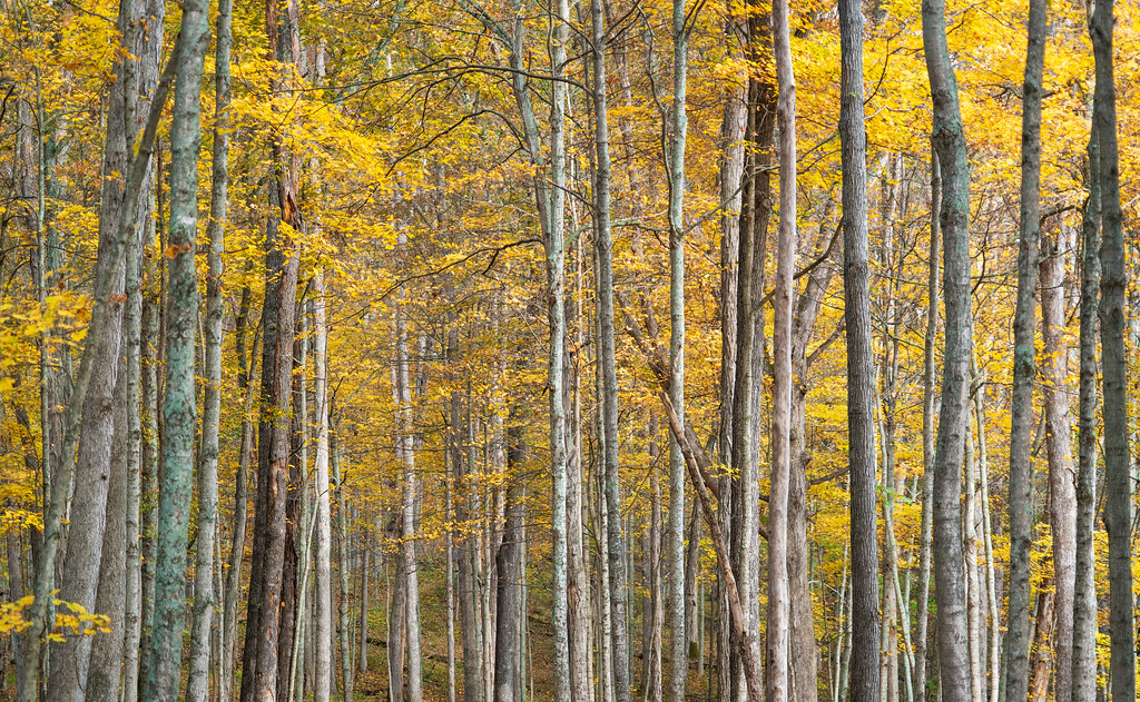 Vesuvius Main LoopHiking · ~17 min drivePhoto: Wayne National Forest, Public Domain Mark (via Flickr)
Best time to visit Yellow Trail
Best months: April–October. Best months have typical highs of 55–85 °F, lows of 30 °F or warmer (32 °F where the station doesn't record snow), at most one snowy day and no more than 12 wet days.
Jan
40° / 23°
12 wet
Feb
44° / 24°
11 wet
Mar
54° / 31°
13 wet
Apr
67° / 41°
12 wet
May
75° / 51°
12 wet
Jun
82° / 61°
11 wet
Jul
85° / 65°
11 wet
Aug
84° / 63°
9 wet
Sep
78° / 56°
8 wet
Oct
67° / 43°
9 wet
Nov
54° / 32°
10 wet
Dec
44° / 27°
12 wet
Typical high / low (°F) and days with rain or snow, 1991–2020. Measured at Ashland, KY, 1.7 mi away at 560 ft. This station doesn't record snowfall. Source: NOAA NCEI U.S. Climate Normals 1991–2020.
Map and trail data © OpenStreetMap contributors
