Indian Rock Trail
- 0.5 mi
- round trip
- 176 ft
- climb
- 3,341 ft
- high point
- Out and back
- route
Is Indian Rock Trail open right now?
No closures listed
The National Park Service lists no closures for Cumberland Gap National Historical Park.
As of · Source: NPS · Cumberland Gap National Historical Park. Agencies don't list every closure — check before you go.
Indian Rock Trail is a short, easy hike in Cumberland Gap National Historical Park in Kentucky, managed by the National Park Service. The trail is about half a mile long and rises roughly 75 feet from its starting point, making it a gentle out-and-back that fits easily into a longer day in the park. The route begins at an elevation of about 3,306 feet and reaches a high point of about 3,341 feet. The steepest stretch comes at about 0.35 miles in, with a grade of about 9 percent. The total climb for the round trip is about 176 feet, so the trail works well as a quick stop or a warm-up before heading to other parts of the park. Farm Road Trail lies just 0.1 mile away, and Chadwell Gap Trail is about 2.4 miles off. Across the line in Virginia, Indian Ridge Trail and Footpath are each within about 2.6 miles.
- Farm Road TrailHiking0.1 mi
- Chadwell Gap TrailHiking2.4 mi
- Indian Ridge TrailHiking2.5 mi
- FootpathHiking2.6 mi
- Fisherman's LoopHiking2.8 mi
- Ewing TrailHiking4.1 mi
- Ridge TrailHiking4.2 mi
- Gibson Gap TrailHiking4.4 mi
Source: Roamze catalog (indexable pages within 10 miles, PostGIS distance)
 Fort Lyon TrailHiking · ~15 min drivePhoto: w_lemay, CC BY-SA 2.0 (via Flickr)
 Ft. McCook TrailHiking · ~15 min drivePhoto: w_lemay, CC BY-SA 2.0 (via Flickr)
- Chadwell Gap TrailHiking · ~4 min drive
- Brush Mountain Bog TrailHiking · ~7 min drive
- Ridge TrailHiking · ~10 min drive
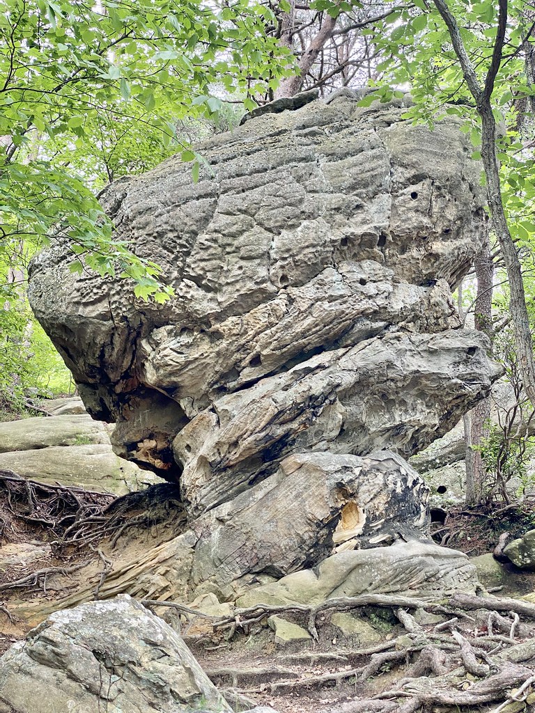 Pinnacle Overlook TrailHiking · ~15 min drivePhoto: w_lemay, CC BY-SA 2.0 (via Flickr)
- Brush Mountain TrailHiking · ~4 min drive
- Brownies Creek Road TrailHiking · ~4 min drive
 Wilderness Road TrailHiking · ~15 min drivePhoto: w_lemay, CC BY-SA 2.0 (via Flickr)
- Gibson Gap TrailHiking · ~8 min drive
Map and trail data © OpenStreetMap contributors
