Wilderness Road Trail
 Photo: w_lemay, CC BY-SA 2.0 (via Flickr)
- 2.0 mi
- round trip
- 447 ft
- climb
- 1,648 ft
- high point
- Out and back
- route
- Aug–Nov
- best months
Is Wilderness Road Trail open right now?
No closures listed
The National Park Service lists no closures for Cumberland Gap National Historical Park.
As of · Source: NPS · Cumberland Gap National Historical Park. Agencies don't list every closure — check before you go.
Wilderness Road Trail is an easy out-and-back hike of about 4 miles in Cumberland Gap National Historical Park in Kentucky, managed by the National Park Service. The route gains about 450 feet in elevation, from a low point of about 1,400 feet to a high of about 1,650 feet. Fall is the most comfortable time to go. Typical averages from a nearby weather station in Tazewell, Tennessee, show October highs around 69°F with lows near 41°F, and September and October bring the fewest wet days of the year. Several other trails start close by. Harlan Road Trail and Tri State Trail are each about 0.1 mile away, Cumberland Trail is about 0.3 mile away, and Pinnacle Overlook Trail is about 0.4 mile away.
- Harlan Road TrailHikingPhoto: w_lemay, CC BY-SA 2.0 (via Flickr)0.1 mi
 Tri State TrailHikingPhoto: w_lemay, CC BY-SA 2.0 (via Flickr)0.1 mi
- Cumberland TrailHikingPhoto: w_lemay, CC BY-SA 2.0 (via Flickr)0.3 mi
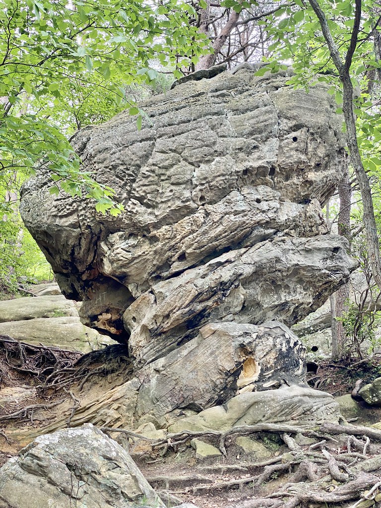 Pinnacle Overlook TrailHikingPhoto: w_lemay, CC BY-SA 2.0 (via Flickr)0.4 mi
 Object Lesson RoadHikingPhoto: w_lemay, CC BY-SA 2.0 (via Flickr)0.4 mi
- Thomas Walker TrailHikingPhoto: w_lemay, CC BY-SA 2.0 (via Flickr)0.4 mi
- Ft. McCook TrailHikingPhoto: w_lemay, CC BY-SA 2.0 (via Flickr)0.4 mi
 Fort Lyon TrailHikingPhoto: w_lemay, CC BY-SA 2.0 (via Flickr)0.5 mi
Source: Roamze catalog (indexable pages within 10 miles, PostGIS distance)
- Tri State TrailHiking · Next doorPhoto: w_lemay, CC BY-SA 2.0 (via Flickr)
- Ft. McCook TrailHiking · Next doorPhoto: w_lemay, CC BY-SA 2.0 (via Flickr)
- Lewis Hollow TrailHiking · ~4 min drive
- Ridge TrailHiking · ~5 min drive
- Cumberland TrailHiking · Next doorPhoto: w_lemay, CC BY-SA 2.0 (via Flickr)
- Boone TrailHiking · ~1 min drive
- Shillalah Creek TrailHiking · ~11 min drive
- Davisburg TrailHiking · ~17 min drive
- Pinnacle Overlook TrailHiking · Next doorPhoto: w_lemay, CC BY-SA 2.0 (via Flickr)
- Sugar Run TrailHiking · ~3 min drive
Best time to visit Wilderness Road Trail
Best months: August–November. Best months have typical highs of 55–85 °F, lows of 30 °F or warmer (32 °F where the station doesn't record snow), at most one snowy day and no more than 12 wet days.
Jan
44° / 23°
14 wet · 2 snow
Feb
48° / 26°
13 wet · 2 snow
Mar
57° / 31°
14 wet · 1 snow
Apr
67° / 40°
13 wet
May
75° / 50°
13 wet
Jun
82° / 59°
13 wet
Jul
85° / 63°
13 wet
Aug
84° / 62°
11 wet
Sep
79° / 55°
10 wet
Oct
69° / 41°
10 wet
Nov
57° / 31°
11 wet
Dec
47° / 26°
14 wet · 1 snow
Typical high / low (°F) and days with rain or snow, 1991–2020. Measured at Tazewell, TN, 11.5 mi away at 1,365 ft. Source: NOAA NCEI U.S. Climate Normals 1991–2020.
