Ridge Trail
- 12.7 mi
- round trip
- 4,229 ft
- climb
- 3,404 ft
- high point
- Out and back
- route
Clear today
Weather is good · OpenWeather · checked 6 h ago
Is Ridge Trail open right now?
No closures listed
The National Park Service lists no closures for Cumberland Gap National Historical Park.
As of · Source: NPS · Cumberland Gap National Historical Park. Agencies don't list every closure — check before you go.
Ridge Trail is a long, steep out-and-back hike in Cumberland Gap National Historical Park in Kentucky, managed by the National Park Service. The route starts at 2,309 feet and climbs to 3,404 feet, with a total elevation gain of 4,229 feet over the full round trip. That makes it a demanding day, and the steepest stretch comes within the first quarter mile, where the grade reaches 16%. The trail is about 25 miles long, and the estimated time is roughly 10.5 hours. Because the climb is so significant, plan for a full day and bring plenty of water and supplies. Several shorter trails sit within a couple of miles, including Honey Tree Spur Trail and Gibson Gap Trail, both about 1.3 miles away, and Lewis Hollow Trail at about 1.5 miles. The Wilderness Road Rails to Trails is about 1.7 miles off.
- Honey Tree Spur TrailHiking1.3 mi
- Gibson Gap TrailHiking1.3 mi
- Lewis Hollow TrailHiking1.5 mi
- Campground PathHiking1.5 mi
- Greenleaf Nature TrailHiking1.5 mi
- Colson TrailHiking1.6 mi
- Wilderness Road Rails to TrailsHiking1.7 mi
- Boone TrailHiking2.4 mi
Source: Roamze catalog (indexable pages within 10 miles, PostGIS distance)
 Fort Lyon TrailHiking · ~4 min drivePhoto: w_lemay, CC BY-SA 2.0 (via Flickr)
 Ft. McCook TrailHiking · ~4 min drivePhoto: w_lemay, CC BY-SA 2.0 (via Flickr)
- Lewis Hollow TrailHiking · ~3 min drive
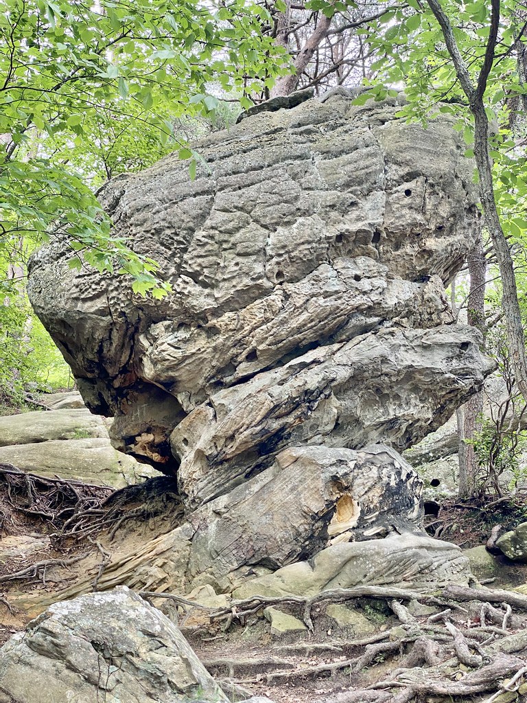 Pinnacle Overlook TrailHiking · ~4 min drivePhoto: w_lemay, CC BY-SA 2.0 (via Flickr)
- Gibson Gap TrailHiking · ~3 min drive
- Shillalah Creek TrailHiking · ~7 min drive
 Wilderness Road TrailHiking · ~5 min drivePhoto: w_lemay, CC BY-SA 2.0 (via Flickr)
- Wilderness Road Rails to TrailsHiking · ~3 min drive
- Chadwell Gap TrailHiking · ~13 min drive
- Harlan Road TrailHiking · ~5 min drivePhoto: w_lemay, CC BY-SA 2.0 (via Flickr)
Map and trail data © OpenStreetMap contributors
