Chadwell Gap Trail
- 2.6 mi
- round trip
- 2,637 ft
- climb
- 3,148 ft
- high point
- Out and back
- route
Is Chadwell Gap Trail open right now?
No closures listed
The National Park Service lists no closures for Cumberland Gap National Historical Park.
As of · Source: NPS · Cumberland Gap National Historical Park. Agencies don't list every closure — check before you go.
Chadwell Gap Trail is a hard hike in Cumberland Gap National Historical Park in Kentucky, managed by the National Park Service. The trail is an out-and-back route of about 5 miles, with a total elevation gain of about 2,600 feet. The climb starts at 1,583 feet and reaches a high point of 3,148 feet, and the steepest stretch comes at about 2.1 miles in, where the grade reaches 51 percent. The trail is a serious climb, and the round trip takes about 3 hours. The route is long and steep, so plan for a full day on foot. Several other trails lie within a few miles. Indian Ridge Trail and Ewing Trail are both about 2.1 miles away, and Fisherman's Loop is about 2.1 miles away. Ridge Trail is about 2.3 miles away.
- Indian Ridge TrailHiking2.1 mi
- Ewing TrailHiking2.1 mi
- Fisherman's LoopHiking2.1 mi
- FootpathHiking2.2 mi
- Ridge TrailHiking2.3 mi
- Indian Rock TrailHiking2.4 mi
- Farm Road TrailHiking2.4 mi
- White Rocks ConnectorHiking2.9 mi
Source: Roamze catalog (indexable pages within 10 miles, PostGIS distance)
 Fort Lyon TrailHiking · ~17 min drivePhoto: w_lemay, CC BY-SA 2.0 (via Flickr)
 Ft. McCook TrailHiking · ~17 min drivePhoto: w_lemay, CC BY-SA 2.0 (via Flickr)
- Brownies Creek Road TrailHiking · ~3 min drive
- Brush Mountain Bog TrailHiking · ~5 min drive
- Ridge TrailHiking · ~13 min drive
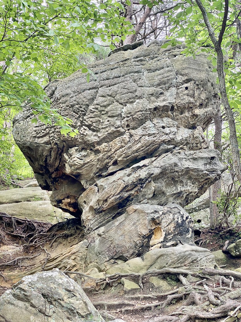 Pinnacle Overlook TrailHiking · ~17 min drivePhoto: w_lemay, CC BY-SA 2.0 (via Flickr)
- Brush Mountain TrailHiking · ~3 min drive
- Ewing TrailHiking · ~4 min drive
 Wilderness Road TrailHiking · ~18 min drivePhoto: w_lemay, CC BY-SA 2.0 (via Flickr)
- Gibson Gap TrailHiking · ~10 min drive
Map and trail data © OpenStreetMap contributors
