Black Willow Trail
- 1.1 mi
- round trip
- 144 ft
- climb
- 624 ft
- high point
- Out and back
- route
- Mar–Apr, Jun
- best months
Black Willow Trail is a 2.24-mile out-and-back hike in Kentucky with 144 feet of elevation gain and loss. The trail reaches a maximum elevation of 624 feet.
 White Oak Nature TrailHiking · ~22 min drivePhoto: Marcin Wichary, CC BY 2.0 (via Flickr)
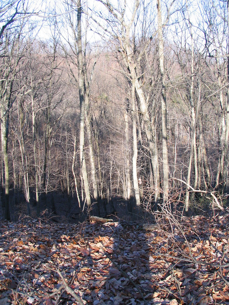 Mitchell Hill Lake TrailHiking · ~31 min drivePhoto: ConspiracyofHappiness, CC BY 2.0 (via Flickr)
- Siltstone TrailHiking · ~31 min drivePhoto: ConspiracyofHappiness, CC BY 2.0 (via Flickr)
 Waking Trails at Hay Kennedy ParkHiking · ~22 min drivePhoto: William Alden from Louisville, Kentucky, USA, CC BY-SA 2.0 (via Wikimedia Commons)
- Harrods Creek Park TrailHiking · ~19 min drive
 Greenway TrailsHiking · ~23 min drivePhoto: Pen Waggener, CC BY 2.0 (via Flickr)
- Yost Ridge TrailHiking · ~30 min drive
 Woodland LoopHiking · ~28 min drivePhoto: William Alden from Louisville, Kentucky, USA, CC BY-SA 2.0 (via Wikimedia Commons)
- Coral Ridge TrailHiking · ~30 min drive
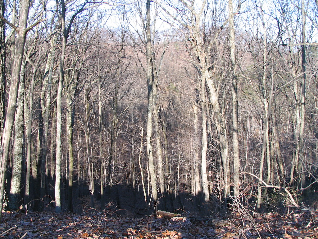 Orange TrailHiking · ~31 min drivePhoto: ConspiracyofHappiness, CC BY 2.0 (via Flickr)
Best time to visit Black Willow Trail
Best months: March–April, June and September–November. Best months have typical highs of 55–85 °F, lows of 30 °F or warmer (32 °F where the station doesn't record snow), at most one snowy day and no more than 12 wet days.
Jan
43° / 27°
11 wet
Feb
48° / 30°
10 wet
Mar
57° / 38°
12 wet
Apr
69° / 48°
12 wet
May
77° / 57°
14 wet
Jun
85° / 66°
12 wet
Jul
88° / 69°
11 wet
Aug
87° / 68°
9 wet
Sep
81° / 60°
9 wet
Oct
69° / 48°
9 wet
Nov
57° / 38°
10 wet
Dec
46° / 31°
11 wet
Typical high / low (°F) and days with rain or snow, 1991–2020. Measured at Louisville Bowman Fld, KY, 10.4 mi away at 540 ft. This station doesn't record snowfall. Source: NOAA NCEI U.S. Climate Normals 1991–2020.
Map and trail data © OpenStreetMap contributors
