Woodland Loop
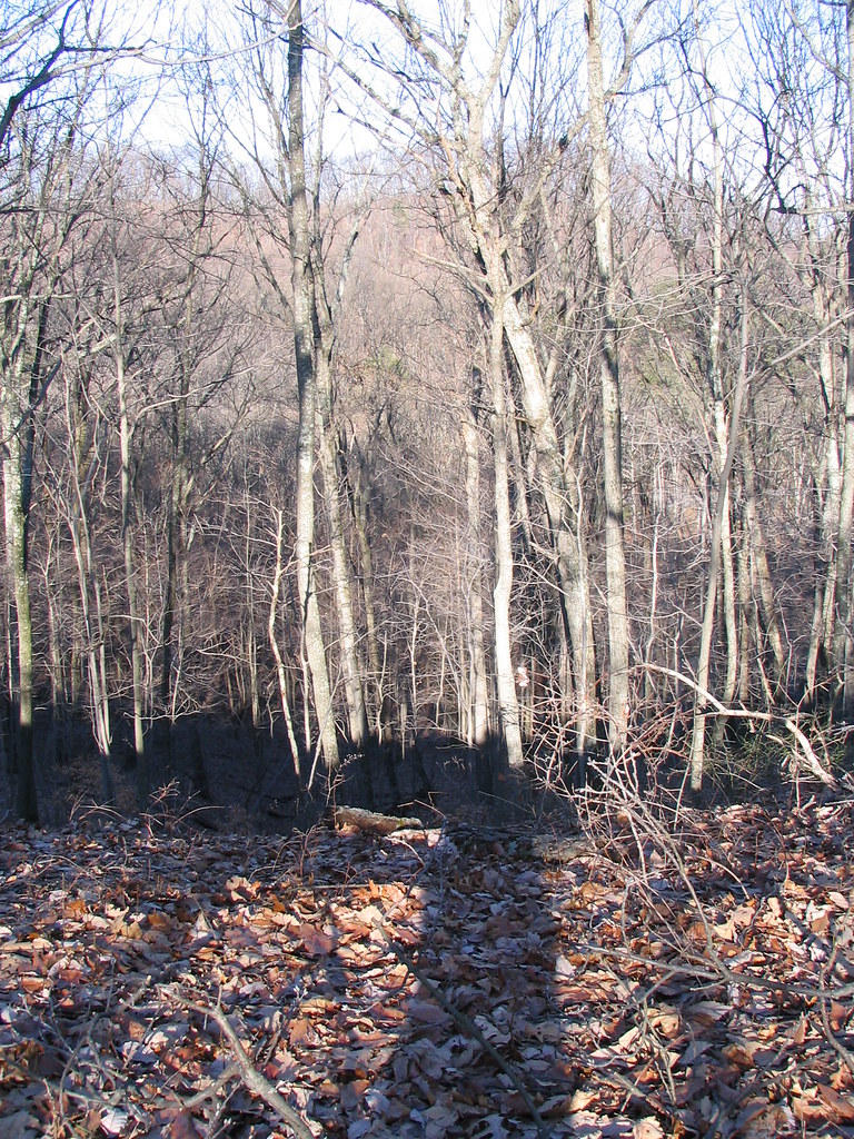
 Photo: William Alden from Louisville, Kentucky, USA, CC BY-SA 2.0 (via Wikimedia Commons)
- 0.7 mi
- loop
- 65 ft
- climb
- 450 ft
- high point
- Loop
- route
- Mar–Jun, Sep–Nov
- best months
Woodland Loop is a short, easy loop in Kentucky, about 0.66 miles long and rising from roughly 440 feet to about 450 feet. It's a flat, low-elevation walk, with a total climb of about 65 feet and a steepest stretch of about 4% at around 0.26 miles in. The nearest town is Clarksville, Indiana, about 1.3 miles away. Spring and fall are the most comfortable times to go. Typical averages from a nearby weather station in Louisville run to highs around 69°F in April and 70°F in October, while July highs average about 89°F. The loop takes about half an hour to complete. For more time on foot, Louisville's Champion Dog Park Path is about 3.2 miles away, and Wildflower Woods Trail and Cherokee Loop are both about 4.5 miles off. Climbers can find Big Wall about 5.2 miles away.
- Louisville's Champion Dog Park PathHiking3.2 mi
- Wildflower Woods TrailHiking4.4 mi
- Cherokee LoopHiking4.5 mi
- Hogan Fountain TrailHiking4.5 mi
- Caperton Swamp TrailHiking4.6 mi
- Big WallRock climbing5.2 mi
 White Oak Nature TrailHikingPhoto: Marcin Wichary, CC BY 2.0 (via Flickr)5.5 mi
 Waking Trails at Hay Kennedy ParkHikingPhoto: William Alden from Louisville, Kentucky, USA, CC BY-SA 2.0 (via Wikimedia Commons)8.9 mi
Source: Roamze catalog (indexable pages within 10 miles, PostGIS distance)
- White Oak Nature TrailHiking · ~9 min drivePhoto: Marcin Wichary, CC BY 2.0 (via Flickr)
 Siltstone TrailHiking · ~23 min drivePhoto: ConspiracyofHappiness, CC BY 2.0 (via Flickr)
- Mitchell Hill Lake TrailHiking · ~24 min drivePhoto: ConspiracyofHappiness, CC BY 2.0 (via Flickr)
- Hoosier Heritage TrailHiking · ~24 min drive
- Waking Trails at Hay Kennedy ParkHiking · ~15 min drivePhoto: William Alden from Louisville, Kentucky, USA, CC BY-SA 2.0 (via Wikimedia Commons)
- Adt - Indiana (South) - H - Seg 2Hiking · ~23 min drive
- Harrods Creek Park TrailHiking · ~18 min drive
 Clinic LoopHiking · ~18 min drivePhoto: mdhill63, CC BY 2.0 (via Flickr)
- Coral Ridge TrailHiking · ~23 min drive
- Fresh Air LoopHiking · ~18 min drivePhoto: mdhill63, CC BY 2.0 (via Flickr)
Best time to visit Woodland Loop
Best months: March–June and September–November. Best months have typical highs of 55–85 °F, lows of 30 °F or warmer (32 °F where the station doesn't record snow), at most one snowy day and no more than 12 wet days.
Jan
43° / 26°
11 wet
Feb
48° / 29°
10 wet
Mar
57° / 37°
12 wet
Apr
69° / 47°
12 wet
May
77° / 58°
12 wet
Jun
85° / 66°
10 wet
Jul
89° / 70°
10 wet
Aug
88° / 69°
8 wet
Sep
82° / 62°
7 wet
Oct
70° / 50°
9 wet
Nov
57° / 38°
10 wet
Dec
47° / 31°
12 wet
Typical high / low (°F) and days with rain or snow, 1991–2020. Measured at Louisville Mcalpine, KY, 1.5 mi away at 440 ft. This station doesn't record snowfall. Source: NOAA NCEI U.S. Climate Normals 1991–2020.
Map and trail data © OpenStreetMap contributors
