Youth Campground
Campground
Campground · 0.6 mi from the trail
Closure in the area
There's a closure order in Shawnee National Forest. It doesn't name F: Gill Wall, so check the source for the area it covers (3 listed).
Bell Smith Springs Recreation Area temporarily closed due to road work
Agency closure covering Shawnee National Forest · USFS · Shawnee National Forest
Boil Water Order at Pharaoh Campground at Garden of the Gods
Agency closure covering Shawnee National Forest · USFS · Shawnee National Forest
McClure Road Closed
Agency closure covering Shawnee National Forest · USFS · Shawnee National Forest
Lane reduction on bridge near IL Iron Furnace
Agency alert covering Shawnee National Forest · USFS · Shawnee National Forest
Failing Culvert on Oakwood Bottoms Road FSR # 786
Agency alert covering Shawnee National Forest · USFS · Shawnee National Forest
As of · Source: USFS · Shawnee National Forest. Agencies don't list every closure — check before you go.
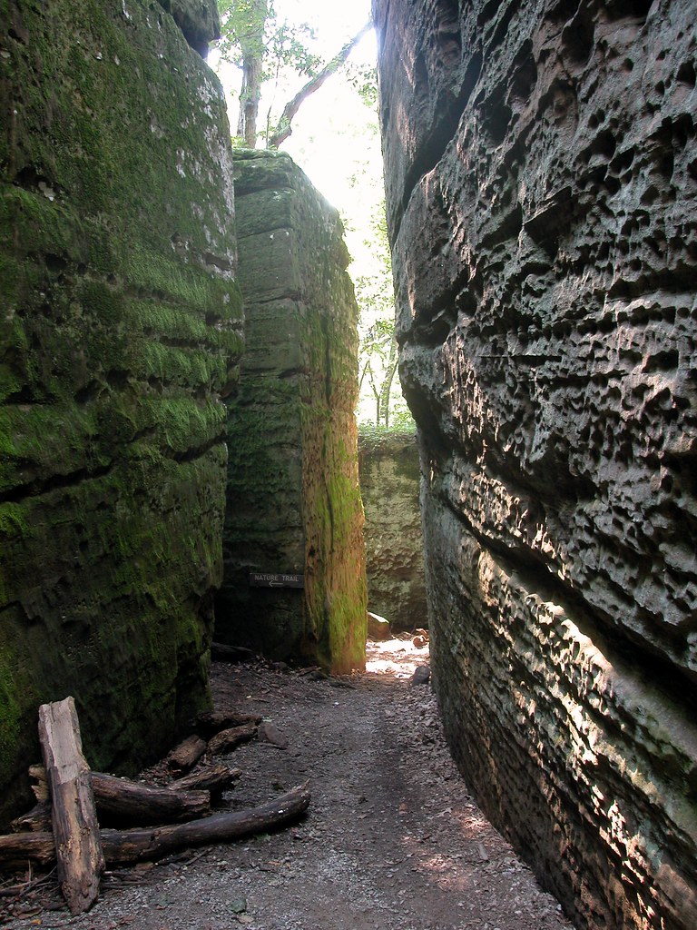
F: Gill Wall is a bouldering area in the Mississippi Bluffs Ranger District of Shawnee National Forest in southern Illinois, about 8.5 miles from the weather station at Anna. It sits among a cluster of climbing areas, with D: Sloper Slab, A: Devils Standtable and C: Amphitheater Boulders all within about a tenth of a mile. The area has six bouldering routes, all rated on the V scale from V0 to V8. The easiest is The Streak at V0, and the hardest is Broken English at V8, first climbed by Jason Kehl. The median grade is V3, so the boulders here range from easy to challenging. Spring and fall are the most comfortable times to visit. Typical averages from the nearby Anna station show October highs around 73°F with lows near 48°F, and April highs around 71°F. July and August average highs near 90°F. The Giant City Nature Trail is about 0.3 miles away, and the Red Cedar Trail is about 0.8 miles away. The Trillium Trail is roughly 1.9 miles off, and Clear Creek, a paddling spot, is about 10 miles away.
Youth Campground
Campground
Places © OpenStreetMap contributors
More in GorevilleBest months: March–May and September–November. Best months have typical highs of 55–85 °F, lows of 30 °F or warmer (32 °F where the station doesn't record snow), at most one snowy day and no more than 12 wet days.
Jan
45° / 25°
9 wet
Feb
50° / 29°
8 wet
Mar
61° / 37°
10 wet
Apr
71° / 46°
11 wet
May
79° / 56°
12 wet
Jun
87° / 65°
9 wet
Jul
90° / 69°
8 wet
Aug
89° / 67°
7 wet
Sep
83° / 59°
7 wet
Oct
73° / 48°
9 wet
Nov
59° / 37°
10 wet
Dec
48° / 30°
10 wet
Typical high / low (°F) and days with rain or snow, 1991–2020. Measured at Anna 2 Nne, IL, 8.5 mi away at 640 ft. This station doesn't record snowfall. Source: NOAA NCEI U.S. Climate Normals 1991–2020.
 Photo: Kbh3rd, CC BY 4.0 (via Wikimedia Commons)
Devils Standtable Area
Next door
Devils Standtable Area is a climbing crag in Illinois with 2 routes.
Photo: Kbh3rd, CC BY 4.0 (via Wikimedia Commons)C: Amphitheater Boulders
Next door
7 bouldering routes with pads in Illinois.
Photo: Kbh3rd, CC BY 4.0 (via Wikimedia Commons)A: Gill Roof
Next door
19-route climbing area in Illinois with bouldering, sport, and trad options.
 Photo: Mrostrichman, CC BY-SA 4.0 (via Wikimedia Commons)
Shawnee Solitaire
~15 min drive
Shawnee Solitaire in Illinois has 6 bouldering routes across 5 grades.
Photo: Mrostrichman, CC BY-SA 4.0 (via Wikimedia Commons)Pomona Bottoms / potential
~15 min drive
Pomona Bottoms / potential in Illinois has 8 climbing routes on 6 difficulty grades.
CLIMB
A: Devils Standtable
Next door
A: Devils Standtable is a climbing area in Illinois with 6 routes.
CLIMB
B: The Ampitheater
Next door
B: The Ampitheater is a climbing crag in Illinois with 12 routes.
CLIMB
C: Park Bouldering
~3 min drive
C: Park Bouldering is a bouldering area in Illinois with 2 routes.
CLIMB
Shelter 1 Bluff
~3 min drive
Shelter 1 Bluff in Illinois has 53 climbing routes with bouldering pads, sport, top-rope, and trad.
CLIMB
Giant City
~4 min drive
Illinois sandstone crag with varied routes for multiple skill levels.