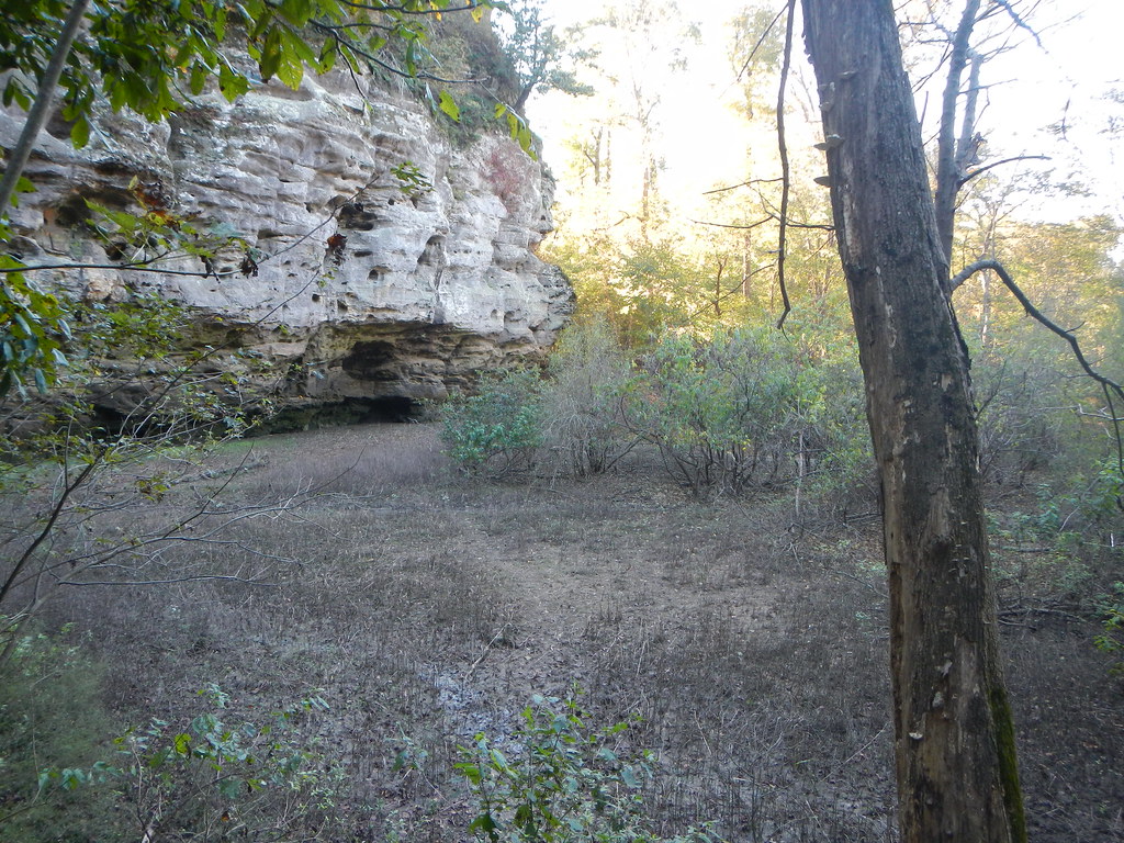
Turkey Bayou
Campground
Campground · 4.8 mi from the trail
 Photo: Mrostrichman, CC BY-SA 4.0 (via Wikimedia Commons)
Closure in the area
There's a closure order in Shawnee National Forest. It doesn't name Pomona Bottoms / potential, so check the source for the area it covers (3 listed).
Bell Smith Springs Recreation Area temporarily closed due to road work
Agency closure covering Shawnee National Forest · USFS · Shawnee National Forest
Boil Water Order at Pharaoh Campground at Garden of the Gods
Agency closure covering Shawnee National Forest · USFS · Shawnee National Forest
McClure Road Closed
Agency closure covering Shawnee National Forest · USFS · Shawnee National Forest
Lane reduction on bridge near IL Iron Furnace
Agency alert covering Shawnee National Forest · USFS · Shawnee National Forest
Failing Culvert on Oakwood Bottoms Road FSR # 786
Agency alert covering Shawnee National Forest · USFS · Shawnee National Forest
As of · Source: USFS · Shawnee National Forest. Agencies don't list every closure — check before you go.
Pomona Bottoms is a bouldering area in the Mississippi Bluffs Ranger District of Shawnee National Forest in southern Illinois, managed by the Forest Service. It sits among a cluster of climbing spots, with Shawnee Solitaire just 0.2 miles away and Moon Rock and Main Amphitheater about 2 miles off. The area is a bouldering destination, with eight routes all rated on the V scale. The easiest is Sunshine Daydream at V0, and the hardest is Althea at V4+. The routes are boulders, and the grade range runs from V0 to V4+. Spring and fall are the most comfortable times to visit. Typical averages from a nearby weather station in Carbondale show October highs around 70°F with lows near 45°F, and May highs around 77°F. Summer is hotter, with July highs near 88°F. Climbers can pair a day at Pomona Bottoms with a hike on Cedar Lake Trail or Cove Hollow, both about 2 miles away. For an overnight stay, Pine Hills Campground is roughly 10 miles off.
Turkey Bayou
Campground
Havisham Bourbon Bar
Bar
Places © OpenStreetMap contributors
More in GorevilleBest months: March–April and September–November. Best months have typical highs of 55–85 °F, lows of 30 °F or warmer (32 °F where the station doesn't record snow), at most one snowy day and no more than 12 wet days.
Jan
42° / 25°
9 wet
Feb
47° / 28°
9 wet
Mar
57° / 36°
11 wet
Apr
68° / 45°
12 wet
May
77° / 55°
14 wet
Jun
86° / 64°
12 wet
Jul
88° / 67°
12 wet
Aug
87° / 65°
12 wet
Sep
81° / 56°
11 wet
Oct
70° / 45°
10 wet
Nov
56° / 35°
10 wet
Dec
46° / 28°
10 wet
Typical high / low (°F) and days with rain or snow, 1991–2020. Measured at Carbondale Southern Il Ap, IL, 10.6 mi away at 406 ft. This station doesn't record snowfall. Source: NOAA NCEI U.S. Climate Normals 1991–2020.
 Photo: Kbh3rd, CC BY 4.0 (via Wikimedia Commons)
A: Gill Roof
~15 min drive
19-route climbing area in Illinois with bouldering, sport, and trad options.
Photo: Kbh3rd, CC BY 4.0 (via Wikimedia Commons)Devils Standtable Area
~15 min drive
Devils Standtable Area is a climbing crag in Illinois with 2 routes.
Photo: Mrostrichman, CC BY-SA 4.0 (via Wikimedia Commons)Shawnee Solitaire
Next door
Shawnee Solitaire in Illinois has 6 bouldering routes across 5 grades.
Photo: Kbh3rd, CC BY 4.0 (via Wikimedia Commons)C: Amphitheater Boulders
~15 min drive
7 bouldering routes with pads in Illinois.
CLIMB
The Dugout
~4 min drive
Crag in Illinois with 5 routes spanning 5 difficulty grades.
CLIMB
Moon Rock
~4 min drive
Moon Rock in Illinois has 5 climbing routes ranging across 4 difficulty grades.
CLIMB
Main Amphitheater
~4 min drive
Main Amphitheater in Illinois has 7 mixed climbing routes.
CLIMB
Cove Hollow
~4 min drive
Cove Hollow in Illinois has 3 climbing routes with bouldering and sport options.
CLIMB
Y: The Sinkhole
~7 min drive
Y: The Sinkhole is a bouldering area in Illinois with 11 routes.
CLIMB
U: Vultures Nest Boulders
~7 min drive
6 bouldering routes in Illinois, 5 difficulty grades.