Poker Peak
- 8,439 ft
- summit
- 1
- way up
Is Poker Peak open right now?
No closures listed
The Forest Service lists no closures for Caribou-Targhee National Forest.
As of · Source: USFS · Caribou-Targhee National Forest. Agencies don't list every closure — check before you go.
Poker Peak is a summit in eastern Idaho's Caribou-Targhee National Forest, within the Palisades Ranger District. The nearest town is Alpine Northwest, Wyoming, about 9 miles away across the state line, which makes it a practical base for supplies before heading up. Several other destinations sit close by. The Landslide hike is about 1.3 miles away, Big Springs is about 1.7 miles off, and Pine Creek lies roughly 2.4 miles away. For an overnight stay, Blowout Campground is about 4.5 miles from the peak.
Conditions and forecast
Daily highs and lows, wind and the chance of precipitation at the summit and route start for the next 7 days, from the Open-Meteo model.
- Summit elevation
- 8,439 ft
Elevation from USGS 3D Elevation Program terrain data (about 10 m resolution).
Map © Mapbox © OpenStreetMap contributors Questions about Poker Peak
How tall is Poker Peak?
8,439 ft (2,572 m).
How many routes go to the summit of Poker Peak?
One: Poker Peak.
When is the best time to climb Poker Peak?
Year-round.
- LandslideHiking1.3 mi
- Big SpringsHiking1.7 mi
- Pine CreekHiking2.4 mi
- Blowout CampgroundCamping4.5 mi
- Blowout Campground & Boat RampCamping4.7 mi
- Indian CreekCanoeing5.6 mi
- McCoy CreekCanoeing5.9 mi
- CalamityCamping6 mi
Source: Roamze catalog (indexable pages within 10 miles, PostGIS distance)
 Caribou MountainSummit · ~20 min drivePhoto: Intermountain Forest Service, USDA Region 4 Photography, Public domain (via Wikimedia Commons)
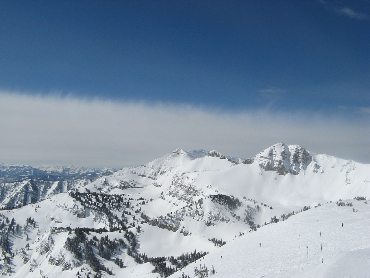 Rendezvous MountainSummit · ~46 min drivePhoto: Ams100272, Public domain (via Wikimedia Commons)
 Virginia PeakSummit · ~51 min drivePhoto: Bridger Teton NF, Public domain (via Wikimedia Commons)
 Mount HuntSummit · ~54 min drivePhoto: Acroterion, CC BY-SA 4.0 (via Wikimedia Commons)
 Prospectors MountainSummit · ~56 min drivePhoto: Ron Clausen, CC BY-SA 4.0 (via Wikimedia Commons)
 Static PeakSummit · ~1h 1m drivePhoto: Acroterion, CC BY-SA 4.0 (via Wikimedia Commons)
 Mount WisterSummit · ~1h 3m drivePhoto: Acroterion, CC BY-SA 4.0 (via Wikimedia Commons)
 Taylor MountainSummit · ~1h 3m drivePhoto: Zechariah Judy, CC BY 3.0 (via Wikimedia Commons)
 Blacktail ButteSummit · ~1h 3m drivePhoto: Wade Bartlett, CC BY 3.0 (via Wikimedia Commons)
 South TetonSummit · ~1h 5m drivePhoto: Acroterion, CC BY-SA 4.0 (via Wikimedia Commons)
