Inferno Cone
 Photo: Clyde Charles Brown, CC BY-SA 4.0 (via Wikimedia Commons)
- 6,184 ft
- summit
- National Park Service
- managed by
- May–Oct
- best months
Is Inferno Cone open right now?
Closure in the area
There's a closure order in Craters of the Moon National Monument. It doesn't name Inferno Cone, so check the source for the area it covers.
Park Bookstore Update
Park closure covering Craters of the Moon National Monument · NPS · Craters of the Moon National Monument
Navigation
Park alert covering Craters of the Moon National Monument · NPS · Craters of the Moon National Monument
As of · Source: NPS · Craters of the Moon National Monument. Agencies don't list every closure — check before you go.
Inferno Cone is a summit of 6,184 feet in Craters of the Moon National Monument in southern Idaho, managed by the National Park Service. The nearest town is Lost River, about 17 miles away. Summer is the most comfortable time to visit. Typical averages from a nearby weather station show July highs around 83°F with lows near 56°F and only about three wet days in the month. Winter is much colder, with January highs near 27°F. Several trails start close by. Big Craters is about half a mile away, and Devils Orchard Nature Trail and Caves Trail are each under a mile off. North Crater Trail is about a mile away.
Conditions and forecast
Daily highs and lows, wind and the chance of precipitation at the summit for the next 7 days, from the Open-Meteo model.
- Summit elevation
- 6,184 ft
- Land manager
- National Park Service
Elevation from USGS 3D Elevation Program terrain data (about 10 m resolution).
We don't know of a mapped trail or route to the summit of Inferno Cone. Plan the approach with local maps, a guidebook or a local guide, and check conditions before you go.
Questions about Inferno Cone
How tall is Inferno Cone?
6,184 ft (1,885 m).
Is there a trail to the top of Inferno Cone?
We don't know of a mapped trail or route to the summit. Plan the approach with local maps, a guidebook or a local guide.
- Swede Peak8,506 ft · Idaho1 route26 mi away
- Ruud Mountain6,700 ft · Idaho1 route43 mi away
 Mount Breitenbach12,141 ft · Idaho1 route43 mi awayPhoto: G. Thomas Fredlyfish4, CC BY-SA 3.0 (via Wikimedia Commons)
- Leatherman Peak12,225 ft · Idaho1 route45 mi awayPhoto: G. Thomas Fredlyfish4, CC BY-SA 3.0 (via Wikimedia Commons)
 Borah Peak12,659 ft · Idaho2 routes49 mi awayPhoto: Leaflet, Public domain (via Wikimedia Commons)
- Herd Peak9,858 ft · Idaho2 routes50 mi away
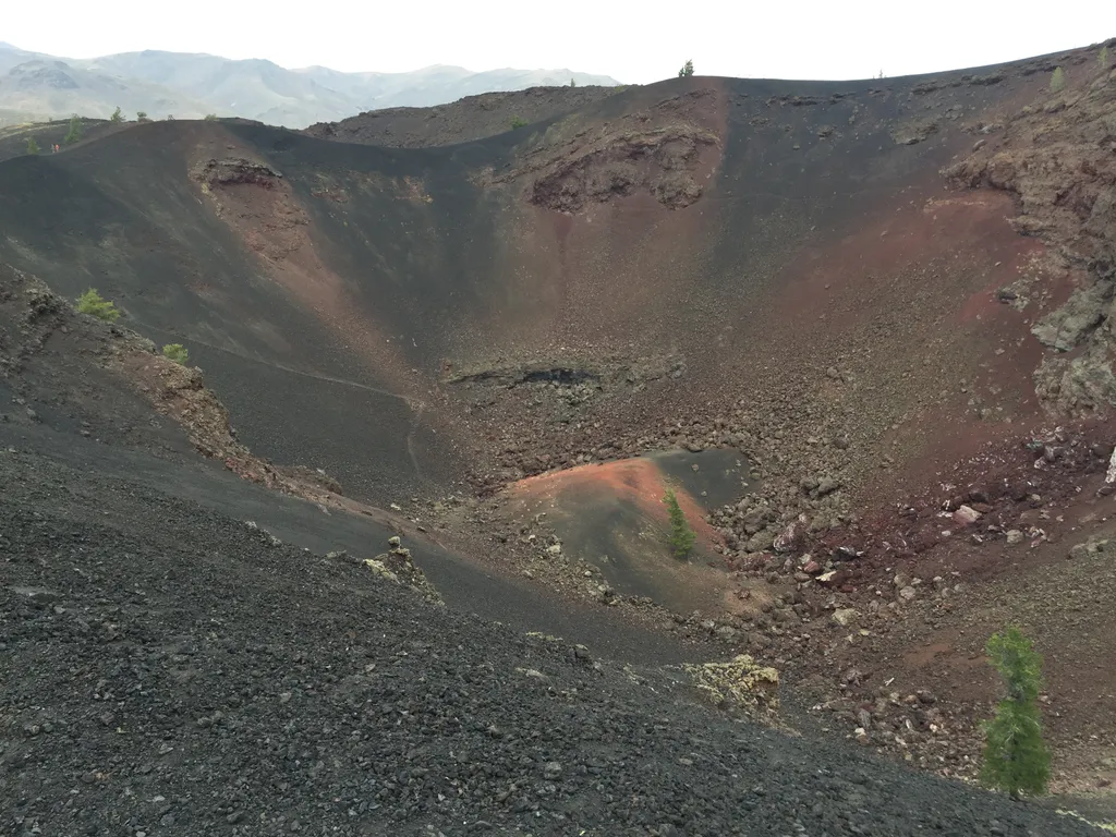 Big CratersHikingPhoto: NPS / public domain0.4 mi
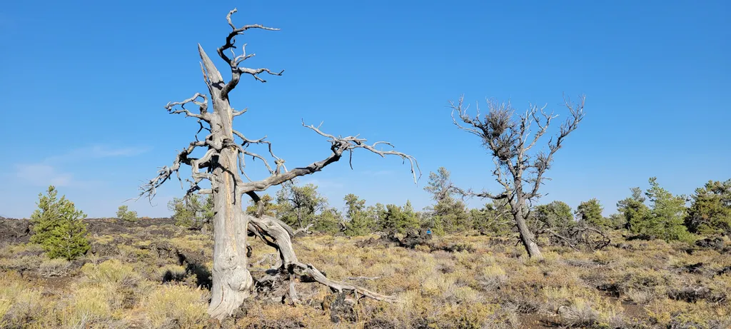 Devils Orchard Nature TrailHikingPhoto: NPS / public domain0.9 mi
 Caves TrailHikingPhoto: RuggyBearLA, CC BY 2.0 (via Flickr)0.9 mi
 North Crater TrailHikingPhoto: RuggyBearLA, CC BY 2.0 (via Flickr)1 mi
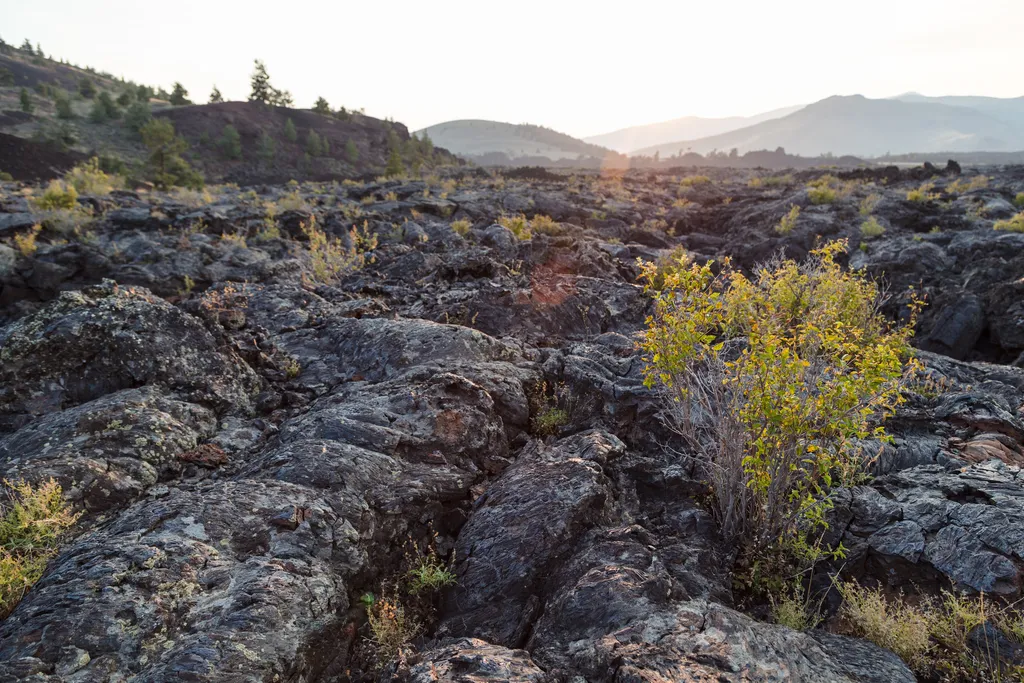 North Crater Flow TrailHikingPhoto: NPS / public domain1 mi
 Broken Top Loop TrailHikingPhoto: TexasExplorer98, CC BY 2.0 (via Flickr)1.1 mi
 Tree Molds TrailHikingPhoto: quinn.anya, CC BY-SA 2.0 (via Flickr)1.1 mi
 Wilderness TrailHikingPhoto: RuggyBearLA, CC BY 2.0 (via Flickr)1.4 mi
Source: Roamze catalog (indexable pages within 10 miles, PostGIS distance)
 Old Hyndman PeakSummit · ~1h drivePhoto: Fredlyfish4, CC BY-SA 3.0 (via Wikimedia Commons)
 Hyndman PeakSummit · ~1h 2m drivePhoto: Fredlyfish4, CC BY-SA 3.0 (via Wikimedia Commons)
 Mount McCalebSummit · ~1h 5m drivePhoto: BLMIdaho, CC BY 2.5 (via Wikimedia Commons)
- Mount BreitenbachSummit · ~1h 14m drivePhoto: G. Thomas
Fredlyfish4, CC BY-SA 3.0 (via Wikimedia Commons)
- Donaldson PeakSummit · ~1h 15m drivePhoto: G. Thomas
Fredlyfish4, CC BY-SA 3.0 (via Wikimedia Commons)
- Leatherman PeakSummit · ~1h 17m drivePhoto: G. Thomas
Fredlyfish4, CC BY-SA 3.0 (via Wikimedia Commons)
- Borah PeakSummit · ~1h 24m drivePhoto: Leaflet, Public domain (via Wikimedia Commons)
 Smiley MountainSummit · ~38 min drivePhoto: Ben Christenson, CC BY 2.0 (via Wikimedia Commons)
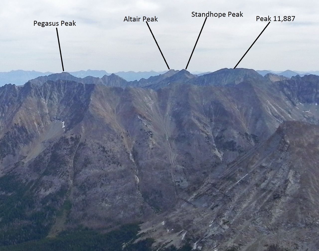 Standhope PeakSummit · ~57 min drivePhoto: Fredlyfish4, CC BY-SA 3.0 (via Wikimedia Commons)
 Cobb PeakSummit · ~60 min drivePhoto: Fredlyfish4, CC BY-SA 3.0 (via Wikimedia Commons)
Best time to visit Inferno Cone
Best months: May–October. Best months have typical highs of 55–85 °F, lows of 30 °F or warmer (32 °F where the station doesn't record snow), at most one snowy day and no more than 12 wet days.
Jan
27° / 13°
11 wet
Feb
30° / 15°
9 wet
Mar
40° / 23°
11 wet
Apr
51° / 31°
10 wet
May
62° / 40°
11 wet
Jun
72° / 46°
7 wet
Jul
83° / 56°
3 wet
Aug
82° / 54°
4 wet
Sep
71° / 45°
5 wet
Oct
56° / 34°
7 wet
Nov
39° / 22°
9 wet
Dec
27° / 13°
11 wet
Typical high / low (°F) and days with rain or snow, 1991–2020. Measured at Arco 17 Sw, ID, 1.3 mi away at 5,920 ft. This station doesn't record snowfall. Source: NOAA NCEI U.S. Climate Normals 1991–2020.

