Caves Trail
 Photo: RuggyBearLA, CC BY 2.0 (via Flickr)
- 0.5 mi
- round trip
- 51 ft
- climb
- 5,771 ft
- high point
- Out and back
- route
- May–Oct
- best months
Is Caves Trail open right now?
Closure in the area
There's a closure order in Craters of the Moon National Monument. It doesn't name Caves Trail, so check the source for the area it covers.
Park Bookstore Update
Park closure covering Craters of the Moon National Monument · NPS · Craters of the Moon National Monument
Navigation
Park alert covering Craters of the Moon National Monument · NPS · Craters of the Moon National Monument
As of · Source: NPS · Craters of the Moon National Monument. Agencies don't list every closure — check before you go.
Caves Trail is a short, easy out-and-back hike in Craters of the Moon National Monument in Idaho, managed by the National Park Service. The trail is about half a mile long, with a total elevation gain of about 50 feet, and it starts at the Caves Trailhead. The route is nearly flat, with the steepest stretch at about 0.3 miles in, where the grade reaches about 2 percent. The high point is 5771 feet, and the low point is 5743 feet, so the climb is gentle and the trail is easy to fit into a longer day on the monument. Summer is the most comfortable time to go. Typical averages from a nearby weather station in Arco show July highs around 83°F with lows near 56°F and only about three wet days in the month. Winter is much colder, with January highs around 27°F. Devils Orchard Nature Trail is about half a mile away, and Inferno Cone, Big Craters and the Wilderness Trail are all within about a mile and a half.
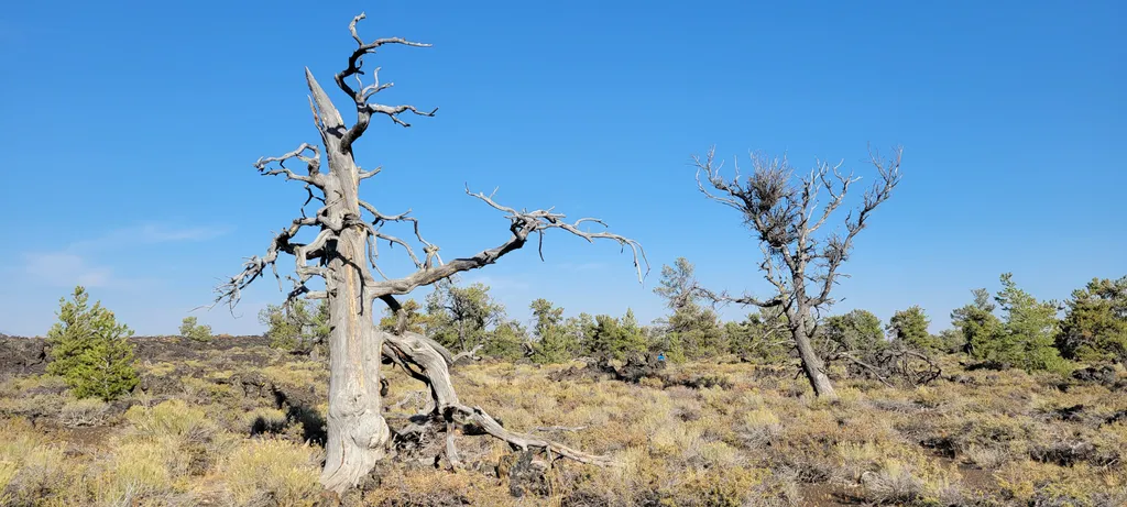 Devils Orchard Nature TrailHikingPhoto: NPS / public domain0.5 mi
 Inferno ConeHikingPhoto: RuggyBearLA, CC BY 2.0 (via Flickr)1.1 mi
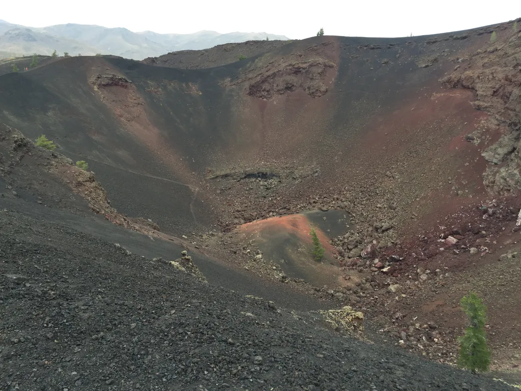 Big CratersHikingPhoto: NPS / public domain1.4 mi
 Wilderness TrailHikingPhoto: RuggyBearLA, CC BY 2.0 (via Flickr)1.4 mi
 North Crater TrailHikingPhoto: RuggyBearLA, CC BY 2.0 (via Flickr)1.5 mi
 Broken Top Loop TrailHikingPhoto: TexasExplorer98, CC BY 2.0 (via Flickr)1.5 mi
 Tree Molds TrailHikingPhoto: quinn.anya, CC BY-SA 2.0 (via Flickr)1.5 mi
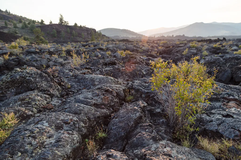 North Crater Flow TrailHikingPhoto: NPS / public domain1.5 mi
Source: Roamze catalog (indexable pages within 10 miles, PostGIS distance)
- Devils Orchard TrailHiking · Next doorPhoto: RuggyBearLA, CC BY 2.0 (via Flickr)
- Devils Orchard Nature TrailHiking · Next door
- Wilderness TrailHiking · ~2 min drivePhoto: RuggyBearLA, CC BY 2.0 (via Flickr)
- Hurst CanyonHiking · ~28 min drive
- LAKE CREEKHiking · ~49 min drive
- Broken Top Loop TrailHiking · ~3 min drivePhoto: TexasExplorer98, CC BY 2.0 (via Flickr)
- Inferno ConeHiking · ~2 min drivePhoto: RuggyBearLA, CC BY 2.0 (via Flickr)
- North Crater TrailHiking · ~2 min drivePhoto: RuggyBearLA, CC BY 2.0 (via Flickr)
- Fish Creek SummitHiking · ~29 min drive
- Tree Molds TrailHiking · ~3 min drivePhoto: quinn.anya, CC BY-SA 2.0 (via Flickr)
Best time to visit Caves Trail
Best months: May–October. Best months have typical highs of 55–85 °F, lows of 30 °F or warmer (32 °F where the station doesn't record snow), at most one snowy day and no more than 12 wet days.
Jan
27° / 13°
11 wet
Feb
30° / 15°
9 wet
Mar
40° / 23°
11 wet
Apr
51° / 31°
10 wet
May
62° / 40°
11 wet
Jun
72° / 46°
7 wet
Jul
83° / 56°
3 wet
Aug
82° / 54°
4 wet
Sep
71° / 45°
5 wet
Oct
56° / 34°
7 wet
Nov
39° / 22°
9 wet
Dec
27° / 13°
11 wet
Typical high / low (°F) and days with rain or snow, 1991–2020. Measured at Arco 17 Sw, ID, 1.6 mi away at 5,920 ft. This station doesn't record snowfall. Source: NOAA NCEI U.S. Climate Normals 1991–2020.
Map and trail data © OpenStreetMap contributors
