Hanover Mountain
- 7,972 ft
- summit
- 2
- ways up
Is Hanover Mountain open right now?
Closure in the area
There's a closure order in Nez Perce-Clearwater National Forest. It doesn't name Hanover Mountain, so check the source for the area it covers.
Updated 250 Road Closure
Agency closure covering Nez Perce-Clearwater National Forest · USFS · Nez Perce-Clearwater National Forest
Grangeville Salmon Road Closure Extension
Agency alert covering Salmon River Ranger District · Order 01-17-01-26-004 · USFS · Salmon River Ranger District
Laird Park Water Unavailable For 2026 Season
Agency alert covering Nez Perce-Clearwater National Forest · USFS · Nez Perce-Clearwater National Forest
As of · Source: USFS · Nez Perce-Clearwater National Forest. Agencies don't list every closure — check before you go.
Hanover Mountain is a summit in Idaho's Gospel-Hump Wilderness, within the Salmon River Ranger District of the Nez Perce-Clearwater National Forest. The nearest town is Riggins, about 20 miles away. Several trails lie within a few miles, including the Florence-Moores Trail at about 2 miles and Hanover Creek Trail #90 at about 2.4 miles. The Wind River is just under 3 miles away, and Lookout Butte Lookout, a campground, sits about 5 miles off.
Conditions and forecast
Daily highs and lows, wind and the chance of precipitation at the summit and route start for the next 7 days, from the Open-Meteo model.
- Summit elevation
- 7,972 ft
Elevation from USGS 3D Elevation Program terrain data (about 10 m resolution).
- Hanover Creek Trail #90Hardabout 3,804 ft of climbing7.8 mi round trip
- HANOVER CREEKExpertabout 3,650 ft of climbing8.4 mi round trip
Compare the routes Hanover Creek Trail #90 HANOVER CREEK Climbing About 3,804 ft About 3,650 ft Round trip 7.8 mi 8.4 mi Difficulty Hard Expert Terrain Hike Hike Season — Spring, summer, fall Map © Mapbox © OpenStreetMap contributors Hazards
- Creek crossings
- Muddy conditions
- Wildlife encounters
- Afternoon thunderstorms
Season
Spring offers flowing creek water and emerging vegetation, while fall provides colorful foliage along the creek corridor.
Questions about Hanover Mountain
How tall is Hanover Mountain?
7,972 ft (2,430 m).
How many routes go to the summit of Hanover Mountain?
2: Hanover Creek Trail #90 and HANOVER CREEK.
What is the shortest route up Hanover Mountain?
Hanover Creek Trail #90, about 7.8 mi round trip.
When is the best time to climb Hanover Mountain?
Spring, summer, fall.
- Florence-Moores TrailHiking1.9 mi
- JACKSON RIDGEHiking2.3 mi
- Hanover Creek Trail #90Hiking2.4 mi
- Wind RiverCanoeing2.9 mi
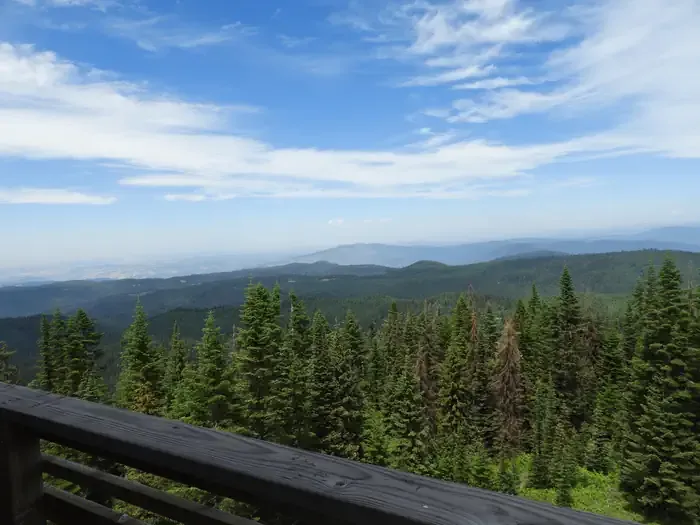 Lookout Butte LookoutCampingPhoto: Recreation.gov (RIDB) / public domain5.2 mi
- Rocky BluffCamping6.8 mi
- Little Slate CreekCanoeing7 mi
- Adams Ranger StationCamping8.7 mi
Source: Roamze catalog (indexable pages within 10 miles, PostGIS distance)
- Black ButteSummit · ~9 min drive
- Elk ButteSummit · ~14 min drive
- Quartzite ButteSummit · ~17 min drive
- Dead PointSummit · ~17 min drive
- Southwest ButteSummit · ~22 min drive
- Oregon ButteSummit · ~23 min drive
- Sourdough PeakSummit · ~24 min drive
- Cottontail PointSummit · ~26 min drive
- Hershey PointSummit · ~32 min drive
- Jersey MountainSummit · ~32 min drive
