Kelly Mountain
- 4,781 ft
- summit
- 2
- ways up
- Jun–Aug
- best months
Is Kelly Mountain open right now?
Closure in the area
There's a closure order in Nez Perce-Clearwater National Forest. It doesn't name Kelly Mountain, so check the source for the area it covers.
Updated 250 Road Closure
Agency closure covering Nez Perce-Clearwater National Forest · USFS · Nez Perce-Clearwater National Forest
Grangeville Salmon Road Closure Extension
Agency alert covering Salmon River Ranger District · Order 01-17-01-26-004 · USFS · Salmon River Ranger District
Laird Park Water Unavailable For 2026 Season
Agency alert covering Nez Perce-Clearwater National Forest · USFS · Nez Perce-Clearwater National Forest
As of · Source: USFS · Nez Perce-Clearwater National Forest. Agencies don't list every closure — check before you go.
Kelly Mountain is a summit of 4,781 feet in Idaho's Nez Perce-Clearwater National Forest, within the Salmon River Ranger District. The nearest town is Riggins, about 10 miles away. Summer is the most comfortable time to go. Typical averages from a nearby weather station in Warren, which sits about 1,100 feet higher than the summit, show July and August highs around 79°F with lows in the mid-30s. Winter is cold, with January highs near 35°F and lows around 7°F. Several trails start close by. The Van Ridge Trail and Kelly Mountain Trail are both within about a mile and a half, and the Manning Crevice Bridge Area offers climbing about 1.5 miles away. Spring Bar Campground is about 1.6 miles off.
Conditions and forecast
Daily highs and lows, wind and the chance of precipitation at the summit and route start for the next 7 days, from the Open-Meteo model.
- Summit elevation
- 4,781 ft
Elevation from USGS 3D Elevation Program terrain data (about 10 m resolution).
- Kelly Mountain TrailModerateabout 3,184 ft of climbing4.4 mi round trip
- KELLY MOUNTAINHardabout 3,421 ft of climbing7.9 mi round trip
Compare the routes Kelly Mountain Trail KELLY MOUNTAIN Climbing About 3,184 ft About 3,421 ft Round trip 4.4 mi 7.9 mi Difficulty Moderate Hard Terrain Hike Hike Map © Mapbox © OpenStreetMap contributors Questions about Kelly Mountain
How tall is Kelly Mountain?
4,781 ft (1,457 m).
How many routes go to the summit of Kelly Mountain?
2: Kelly Mountain Trail and KELLY MOUNTAIN.
What is the shortest route up Kelly Mountain?
Kelly Mountain Trail, about 4.4 mi round trip.
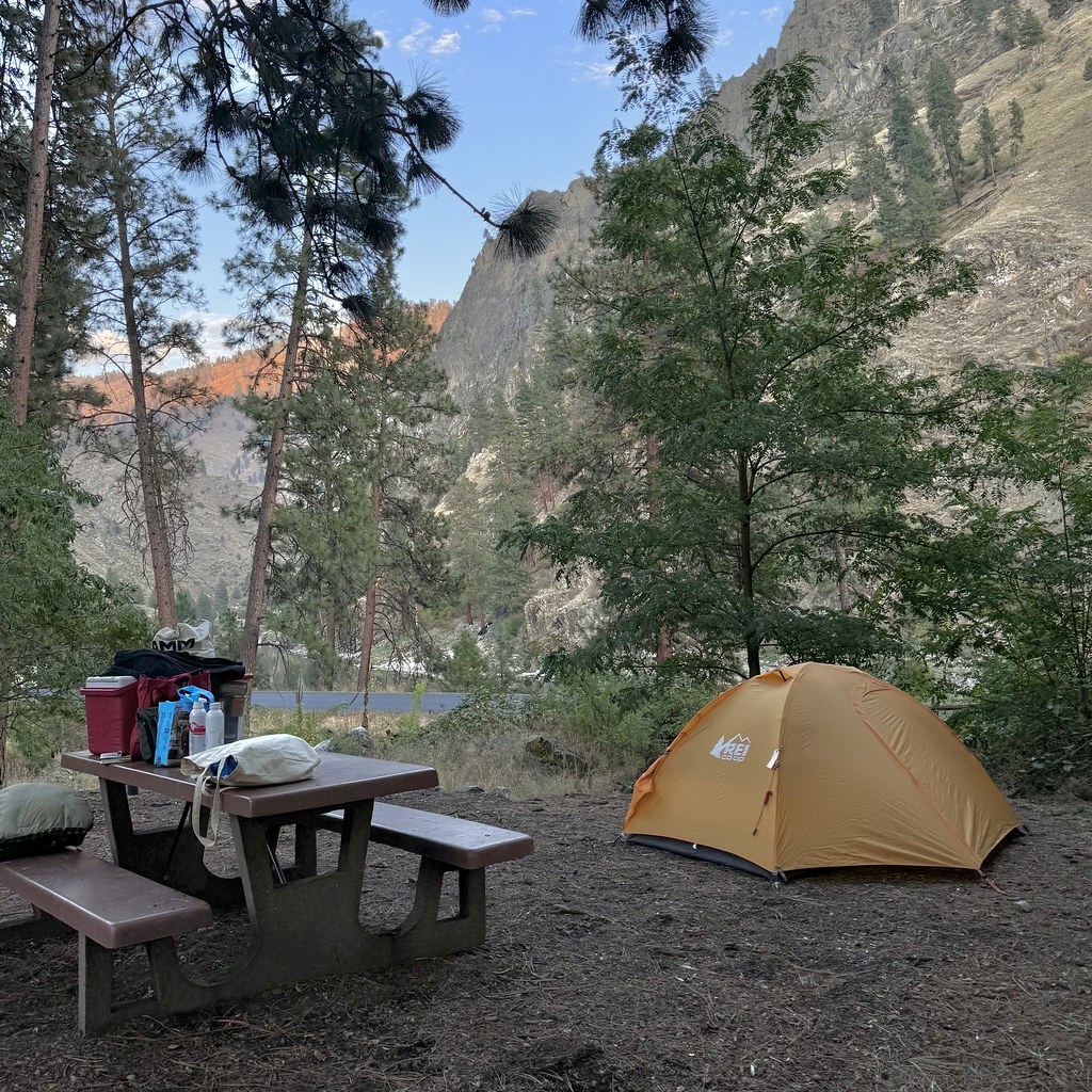 Van Ridge TrailHikingPhoto: Seth Tisue, CC BY-SA 2.0 (via Flickr)1.1 mi
- VAN RIDGEHikingPhoto: Seth Tisue, CC BY-SA 2.0 (via Flickr)1.1 mi
 Kelly Mountain TrailHikingPhoto: Benutzer:Islandius, Public domain (via Wikimedia Commons)1.4 mi
- Manning Crevice Bridge AreaRock climbing1.5 mi
- Spring Bar CampgroundCamping1.6 mi
- Spring BarCamping2 mi
- Little Slate CreekCanoeing8.6 mi
- Shorts BarCamping9.2 mi
Source: Roamze catalog (indexable pages within 10 miles, PostGIS distance)
- Southwest ButteSummit · ~13 min drive
- Hershey PointSummit · ~13 min drive
- Dead PointSummit · ~19 min drive
- Hanover MountainSummit · ~21 min drive
- Slate PointSummit · ~21 min drive
- Black ButteSummit · ~21 min drive
- Round KnobSummit · ~27 min drive
- Elk ButteSummit · ~29 min drive
- Cottontail PointSummit · ~31 min drive
- Cannon Ball MountainSummit · ~32 min drive
Best time to visit Kelly Mountain
Best months: June–August. Best months have typical highs of 55–85 °F, lows of 30 °F or warmer (32 °F where the station doesn't record snow), at most one snowy day and no more than 12 wet days.
Jan
35° / 7°
Feb
41° / 7°
Mar
46° / 17°
Apr
50° / 20°
May
59° / 27°
Jun
68° / 34°
Jul
79° / 37°
Aug
79° / 35°
Sep
69° / 30°
Oct
56° / 23°
Nov
41° / 16°
Dec
34° / 9°
Typical high / low (°F) and days with rain or snow, 1991–2020. Measured at Warren, ID, 23.8 mi away at 5,907 ft. The station sits about 1,100 ft higher than this place, so expect it a little warmer here. This station doesn't record snowfall. Source: NOAA NCEI U.S. Climate Normals 1991–2020.
