Blacktail Mountain
- 5,494 ft
- summit
- 1
- way up
Is Blacktail Mountain open right now?
Closure in the area
There's a closure order in Idaho Panhandle National Forests. It doesn't name Blacktail Mountain, so check the source for the area it covers (3 listed).
Emergency Road Closure Lightning Creek / Forest Road 419
Agency closure covering Idaho Panhandle National Forests · Order 0104-06-26-002 · USFS · Idaho Panhandle National Forests
Abandoned Mines Area Closure
Agency closure covering Idaho Panhandle National Forests · Order 1-04-00-25-001 · USFS · Idaho Panhandle National Forests
Idaho Panhandle Seasonal Food Storage Order
Agency closure covering Idaho Panhandle National Forests · Order 01-04-00-24-001 · USFS · Idaho Panhandle National Forests
Heavy Truck Traffic on FS Road 209
Agency alert covering Idaho Panhandle National Forests · USFS · Idaho Panhandle National Forests
IPNF Glass Container Restrictions
Agency alert covering Idaho Panhandle National Forests · Order 01-04-00-24-002 · USFS · Idaho Panhandle National Forests
As of · Source: USFS · Idaho Panhandle National Forests. Agencies don't list every closure — check before you go.
Blacktail Mountain is a summit in the Priest Lake Ranger District of the Idaho Panhandle National Forests, about 17.5 miles from the town of Coolin, Idaho. Plowboy Mountain and North Blacktail are both hikes a little over 2 miles away. Beaver Creek, about 3.2 miles off, has both a campground and lake fishing. Granite Creek, at roughly 3.9 miles, offers canoeing.
Conditions and forecast
Daily highs and lows, wind and the chance of precipitation at the summit and route start for the next 7 days, from the Open-Meteo model.
- Summit elevation
- 5,494 ft
Elevation from USGS 3D Elevation Program terrain data (about 10 m resolution).
Map © Mapbox © OpenStreetMap contributors Questions about Blacktail Mountain
How tall is Blacktail Mountain?
5,494 ft (1,675 m).
How many routes go to the summit of Blacktail Mountain?
One: Blacktail Mountain.
When is the best time to climb Blacktail Mountain?
June 1 – September 30.
- Boulder Mountain5,649 ft · Idaho1 route3.4 mi away
- Little Grass Mountain5,701 ft · Idaho1 route4.8 mi away
- Gold Peak4,537 ft · Idaho1 route6.0 mi away
- Indian Mountain5,017 ft · Washington1 route6.2 mi away
- Lakeview Mountain4,072 ft · Idaho1 route8.1 mi away
- Orwig Hump5,334 ft · Washington1 route8.1 mi away
- Plowboy MountainHiking2.2 mi
- North BlacktailHiking2.3 mi
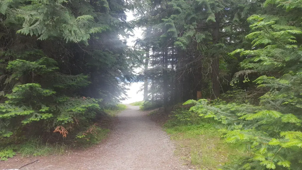 Beaver Creek (idaho)CampingPhoto: Recreation.gov (RIDB) / public domain3.2 mi
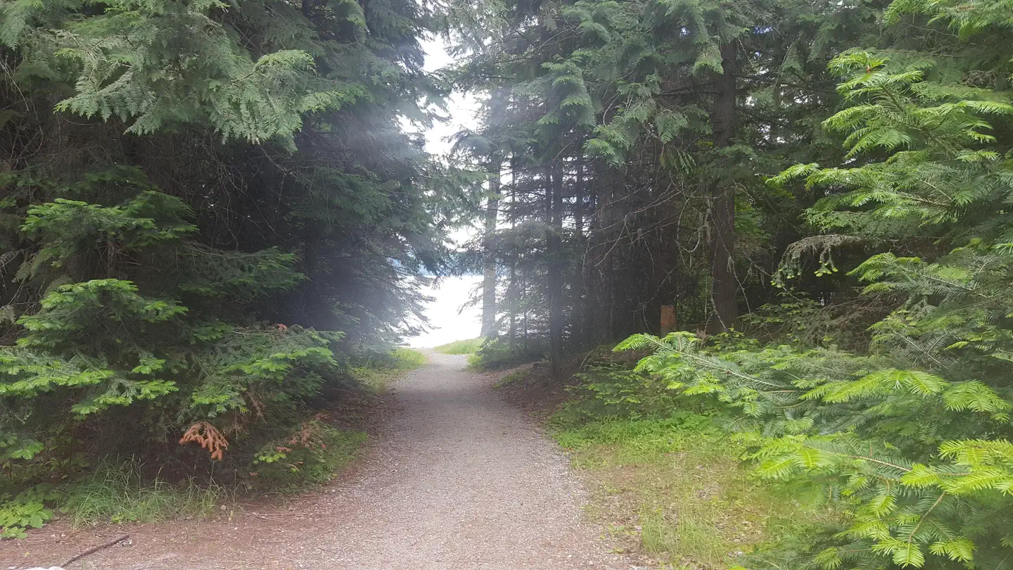 Beaver CreekLake fishing3.2 mi
 LakeshoreHikingPhoto: gcchang, CC BY-SA 2.0 (via Flickr)3.6 mi
- Granite CreekCanoeing3.9 mi
- PlowboyCamping4.2 mi
- Lion's CreekRock climbing9.7 mi
Source: Roamze catalog (indexable pages within 10 miles, PostGIS distance)
 Chimney RockSummit · ~22 min drivePhoto: Forest Service Northern Region, Public domain (via Wikimedia Commons)
- Boulder MountainSummit · ~6 min drive
- Little Grass MountainSummit · ~8 min drive
- Gold PeakSummit · ~10 min drive
- Indian MountainSummit · ~11 min drive
- Lakeview MountainSummit · ~14 min drive
- Jackson MountainSummit · ~16 min drive
- Bismark MountainSummit · ~16 min drive
- South Fork MountainSummit · ~16 min drive
- Grassy Top MountainSummit · ~17 min drive
