Indian Mountain
- 5,017 ft
- summit
- 1
- way up
Is Indian Mountain open right now?
Closure in the area
There's a closure order in Idaho Panhandle National Forests. It doesn't name Indian Mountain, so check the source for the area it covers (3 listed).
Emergency Road Closure Lightning Creek / Forest Road 419
Agency closure covering Idaho Panhandle National Forests · Order 0104-06-26-002 · USFS · Idaho Panhandle National Forests
Abandoned Mines Area Closure
Agency closure covering Idaho Panhandle National Forests · Order 1-04-00-25-001 · USFS · Idaho Panhandle National Forests
Idaho Panhandle Seasonal Food Storage Order
Agency closure covering Idaho Panhandle National Forests · Order 01-04-00-24-001 · USFS · Idaho Panhandle National Forests
Heavy Truck Traffic on FS Road 209
Agency alert covering Idaho Panhandle National Forests · USFS · Idaho Panhandle National Forests
IPNF Glass Container Restrictions
Agency alert covering Idaho Panhandle National Forests · Order 01-04-00-24-002 · USFS · Idaho Panhandle National Forests
As of · Source: USFS · Idaho Panhandle National Forests. Agencies don't list every closure — check before you go.
Indian Mountain is a summit in Washington within the Priest Lake Ranger District of the Idaho Panhandle National Forests. The nearest town is Coolin, Idaho, about 16 miles away. Several trails start within a couple of miles: Diamond - Sema is 1.2 miles away, and Indian Creek Cutoff is 1.4 miles away. Granite Creek offers canoeing about 4 miles off. Reeder Bay campground is roughly 7 miles away.
Conditions and forecast
Daily highs and lows, wind and the chance of precipitation at the summit and route start for the next 7 days, from the Open-Meteo model.
- Summit elevation
- 5,017 ft
Elevation from USGS 3D Elevation Program terrain data (about 10 m resolution).
Map © Mapbox © OpenStreetMap contributors Questions about Indian Mountain
How tall is Indian Mountain?
5,017 ft (1,529 m).
How many routes go to the summit of Indian Mountain?
One: Indian Mountain.
When is the best time to climb Indian Mountain?
June 1 – September 30.
- South Fork Mountain4,203 ft · Washington1 route4.2 mi away
- Orwig Hump5,334 ft · Washington1 route4.7 mi away
- Kalispell Rock5,259 ft · Washington1 route5.0 mi away
- Bismark Mountain3,897 ft · Idaho1 route5.1 mi away
- Lakeview Mountain4,072 ft · Idaho1 route6.2 mi away
- Blacktail Mountain5,494 ft · Idaho1 route6.2 mi away
- Diamond - SemaHiking1.2 mi
- INDIAN CREEK CUTOFFHiking1.4 mi
- DIAMOND - PEAKHiking1.7 mi
- Granite CreekCanoeing4.1 mi
- South Fork Granite CreekCanoeing4.4 mi
 Reeder BayCampingPhoto: Recreation.gov (RIDB) / public domain7.2 mi
- Priest Lake AreaLake fishing8.2 mi
- Reynolds Creek Group SiteCamping8.7 mi
Source: Roamze catalog (indexable pages within 10 miles, PostGIS distance)
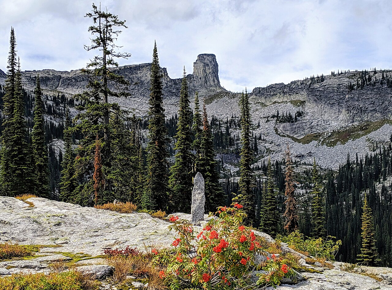 Chimney RockSummit · ~27 min drivePhoto: Forest Service Northern Region, Public domain (via Wikimedia Commons)
- South Fork MountainSummit · ~7 min drive
- Bismark MountainSummit · ~9 min drive
- Lakeview MountainSummit · ~11 min drive
- Boulder MountainSummit · ~11 min drive
- Little Grass MountainSummit · ~11 min drive
- Hungry MountainSummit · ~12 min drive
- Grassy Top MountainSummit · ~15 min drive
- Gold PeakSummit · ~17 min drive
- Round Top MountainSummit · ~19 min drive

