Benton Peak
- 7,219 ft
- summit
- 1
- way up
Is Benton Peak open right now?
Alert in the area
The Forest Service lists 5 alerts for Payette National Forest.
Over Snow Vehicle Closure (Forestwide)
Agency alert covering Payette National Forest · Order 0412-638 · USFS · Payette National Forest
Over Snow Vehicle Closure (Brundage Mountain Resort Snowcat Routes)
Agency alert covering Payette National Forest · Order 0412-637 · USFS · Payette National Forest
Lost Valley Log Hauling
Agency alert covering Payette National Forest · USFS · Payette National Forest
Over Snow Vehicle Closure (Granite Mountain)
Agency alert covering Payette National Forest · Order 0412-635 · USFS · Payette National Forest
Gordon Titus Upper Elevation Parking Lot Winter Restrictions
Agency alert covering Payette National Forest · Order 0412-543 · USFS · Payette National Forest
As of · Source: USFS · Payette National Forest. Agencies don't list every closure — check before you go.
Benton Peak is a summit in the Weiser Ranger District of Idaho's Payette National Forest. The nearest town is Richland, Oregon, about 14 miles away. The closest neighbor is a hike called E, less than a mile away. Sturgill Ridge and Coffee Flat Trail are both about 1.8 miles off. Hitt Mountain Dispersed Campground And T/H, about 1.9 miles away, is the nearest place to camp.
Conditions and forecast
Daily highs and lows, wind and the chance of precipitation at the summit and route start for the next 7 days, from the Open-Meteo model.
- Summit elevation
- 7,219 ft
Elevation from USGS 3D Elevation Program terrain data (about 10 m resolution).
Map © Mapbox © OpenStreetMap contributors Questions about Benton Peak
How tall is Benton Peak?
7,219 ft (2,200 m).
How many routes go to the summit of Benton Peak?
One: Bear Saddle.
When is the best time to climb Benton Peak?
Year-round.
- Sturgill Peak7,592 ft · Idaho1 route1.1 mi away
- Russel Mountain7,495 ft · Oregon1 route31 mi away
- Sentinel Peak9,404 ft · Oregon1 route40 mi away
- Flagstaff Hill3,948 ft · Oregon4 routes40 mi away
 Eagle Cap9,564 ft · Oregon1 route41 mi awayPhoto: araddon, CC BY 2.0 (via Wikimedia Commons)
- Aneroid Mountain9,698 ft · Oregon1 route41 mi away
- EHiking0.8 mi
- STURGILL RIDGEHiking1.8 mi
- Coffee Flat TrailHiking1.8 mi
- STURGILL PEAKHiking1.9 mi
- Hitt Mountain Dispersed Campground And T/HCamping1.9 mi
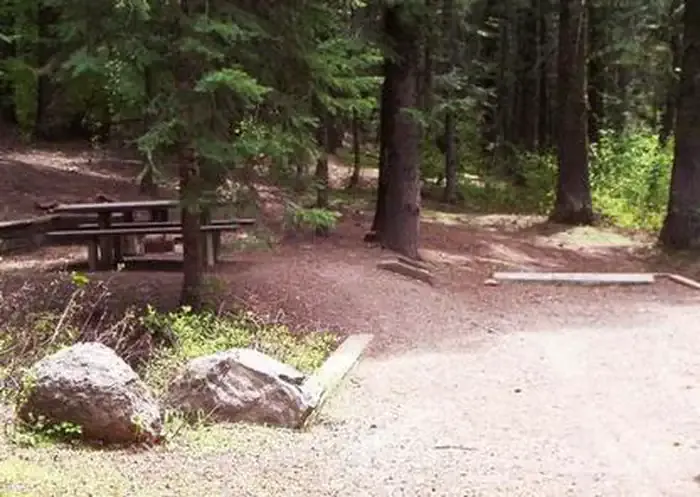 Spring Creek CampgroundCampingPhoto: Recreation.gov (RIDB) / public domain3.7 mi
- ParadiseCamping5.4 mi
- JustriteCamping5.7 mi
Source: Roamze catalog (indexable pages within 10 miles, PostGIS distance)
- Eagle CapSummit · ~1h 10m drivePhoto: araddon, CC BY 2.0 (via Wikimedia Commons)
 Malheur ButteSummit · ~1h 13m drivePhoto: Bluedharma at English Wikipedia, Public domain (via Wikimedia Commons)
 Mount HowardSummit · ~1h 18m drivePhoto: Orygun, CC BY-SA 4.0 (via Wikimedia Commons)
 Sacajawea PeakSummit · ~1h 19m drivePhoto: Gary Halvorson, Oregon State Archives, CC BY 4.0 (via Wikimedia Commons)
- Sturgill PeakSummit · ~2 min drive
- Russel MountainSummit · ~54 min drive
- Sentinel PeakSummit · ~1h 8m drive
- Flagstaff HillSummit · ~1h 8m drive
- Gabes PeakSummit · ~1h 12m drive
- Sheep RockSummit · ~1h 12m drive
