Gabes Peak
- 7,657 ft
- summit
- 1
- way up
Is Gabes Peak open right now?
Closure in the area
There's a closure order in Boise National Forest. It doesn't name Gabes Peak, so check the source for the area it covers.
UPDATED Sept. 19 - Crooked Fire Area, Road, and Trail Closure
Agency closure covering Boise National Forest · Order 0402-03-140 · USFS · Boise National Forest
Lava Fire Road Closure
Agency alert covering Boise National Forest · Order 0402-06-84 · USFS · Boise National Forest
As of · Source: USFS · Boise National Forest. Agencies don't list every closure — check before you go.
Gabes Peak is a summit in the Emmett Ranger District of Boise National Forest in Idaho, about 8 miles from the town of Cascade. Hikers can reach the area on the Gabe's Peak hike, which starts about 2.2 miles away. Other outings close to the summit include the Blue Lake hike, about 1.7 miles off, and Wilson Corrals, about 2.1 miles away. Antelope Campground and Sagehen Creek campground both sit about 6.6 miles from the peak.
Conditions and forecast
Daily highs and lows, wind and the chance of precipitation at the summit and gabes peak trailhead for the next 7 days, from the Open-Meteo model.
- Summit elevation
- 7,657 ft
Elevation from USGS 3D Elevation Program terrain data (about 10 m resolution).
Map © Mapbox © OpenStreetMap contributors Questions about Gabes Peak
How tall is Gabes Peak?
7,657 ft (2,334 m).
How many routes go to the summit of Gabes Peak?
One: Gabe's Peak.
Where do the routes up Gabes Peak start?
Gabe's Peak starts at Gabes Peak Trailhead (about 5,314 ft).
When is the best time to climb Gabes Peak?
Year-round.
- Blue LakeHiking1.7 mi
- Wilson CorralsHiking2.1 mi
- Gabe's PeakHiking2.2 mi
- Antelope CampgroundCamping6.6 mi
 Sagehen CreekCampingPhoto: Recreation.gov (RIDB) / public domain6.6 mi
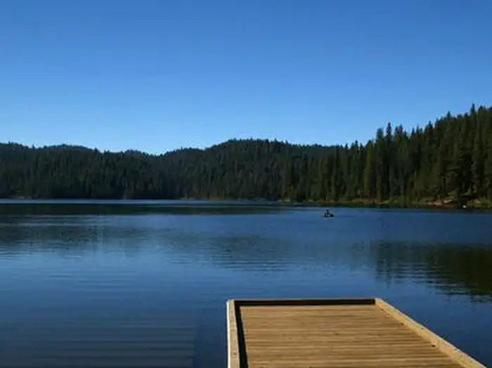 Antelope (Boise National Forest, ID)Lake fishing6.7 mi
- Eastside Group CampgroundCamping6.8 mi
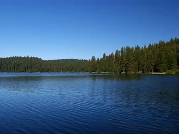 EastsideLake fishing6.8 mi
Source: Roamze catalog (indexable pages within 10 miles, PostGIS distance)
 Twin PeaksSummit · ~53 min drivePhoto: BLMIdaho, Public domain (via Wikimedia Commons)
- Tripod PeakSummit · ~6 min drive
- Silver Creek SummitSummit · ~35 min drive
- Cougar RockSummit · ~42 min drive
- Cline MountainSummit · ~48 min drive
- Miners PeakSummit · ~1h 1m drive
- Wilson PeakSummit · ~1h 5m drive
- Log MountainSummit · ~1h 6m drive
- Sturgill PeakSummit · ~1h 10m drive
- Benton PeakSummit · ~1h 12m drive
