City of Rocks Campsites
Campground
Campground · 0.4 mi from the trail
 Photo: Levieuxchiendetalus, CC BY-SA 3.0 (via Wikimedia Commons)
Caution at last check
Weather is marginal · OpenWeather · checked 22 h ago
No closures listed
The National Park Service lists no closures for City of Rocks National Reserve.
As of · Source: NPS · City of Rocks National Reserve. Agencies don't list every closure — check before you go.
City of Rocks National Reserve is a state park and recreation unit in southern Idaho, about 14 miles from the town of Oakley. The reserve is home to a cluster of rock formations, hiking trails and climbing areas, with several routes and boulders within a short distance of each other. The most comfortable time to visit is late spring through early fall. Typical averages from the nearby Oakley weather station run from highs around 69°F in May to about 86°F in July and August, with September easing back to the low 70s. Winters are cold, with January highs near 40°F and lows around 21°F. Trails start right at the reserve's doorstep. The Window Arch Trail and the Flaming Rock Trail are both about 0.1 mile away, and the Bumblie Wall Trail is roughly 0.3 mile off. Climbers can head to the City of Rocks and Flaming Rock climbing areas, each about 0.2 mile from the reserve.
City of Rocks Campsites
Campground
Piggy Sue BBQ
Barbecue restaurant
Oakley Valley Historical Museum
Museum
Places © OpenStreetMap contributors, Places © Overture Maps Foundation
More in OakleyPark size
650 acres
Trails
Campgrounds
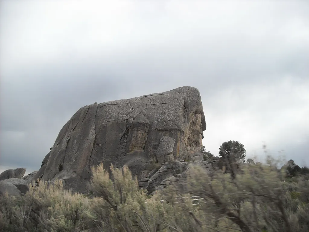 Window Arch Trail - 250 feetHikingPhoto: photophat — Wikimedia Commons (CC BY 3.0)0.1 mi
 Flaming Rock TrailHikingPhoto: reverendlukewarm, CC BY-SA 2.0 (via Flickr)0.1 mi
 City of RocksRock climbingPhoto: cifraser1, CC BY 2.0 (via Flickr)0.2 mi
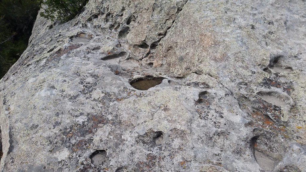 Flaming RockRock climbingPhoto: cifraser1, CC BY 2.0 (via Flickr)0.2 mi
 Bumblie Wall TrailHikingPhoto: Bold Frontiers, CC BY 2.0 (via Flickr)0.3 miBath Rock TrailHikingPhoto: Bold Frontiers, CC BY 2.0 (via Flickr)0.3 miCannibal CorridorRock climbingPhoto: cifraser1, CC BY 2.0 (via Flickr)0.3 miBath Rock - SouthRock climbingPhoto: Bold Frontiers, CC BY 2.0 (via Flickr)0.3 mi
Source: Roamze catalog (indexable pages within 10 miles, PostGIS distance)
Best months: April–June and September–October. Best months have typical highs of 55–85 °F, lows of 30 °F or warmer (32 °F where the station doesn't record snow), at most one snowy day and no more than 12 wet days.
Jan
40° / 21°
6 wet
Feb
44° / 24°
6 wet
Mar
54° / 30°
7 wet
Apr
60° / 34°
8 wet
May
69° / 41°
9 wet
Jun
78° / 48°
6 wet
Jul
86° / 57°
4 wet
Aug
86° / 56°
4 wet
Sep
77° / 47°
4 wet
Oct
64° / 37°
5 wet
Nov
49° / 28°
6 wet
Dec
39° / 21°
6 wet
Typical high / low (°F) and days with rain or snow, 1991–2020. Measured at Oakley, ID, 14.4 mi away at 4,559 ft. We don't have this place's elevation, so higher spots nearby can run cooler. This station doesn't record snowfall. Source: NOAA NCEI U.S. Climate Normals 1991–2020.

