Bath Rock - South
Bath Rock - South in Idaho has 5 routes across 4 grades, offering sport and trad climbing.
 Photo: Bold Frontiers, CC BY 2.0 (via Flickr)
- 5 routes
- 5.8 – 5.12a
- Sport · Trad
Is Bath Rock - South open right now?
No closures listed
The National Park Service lists no closures for City of Rocks National Reserve.
As of · Source: NPS · City of Rocks National Reserve. Agencies don't list every closure — check before you go.
Best time to visit Bath Rock - South
Best months: April–June and August–October. Best months have typical highs of 55–85 °F, lows of 30 °F or warmer (32 °F where the station doesn't record snow), at most one snowy day and no more than 12 wet days.
Jan
35° / 16°
8 wet
Feb
39° / 19°
7 wet
Mar
48° / 27°
6 wet
Apr
55° / 33°
7 wet
May
65° / 41°
9 wet
Jun
75° / 50°
6 wet
Jul
86° / 59°
5 wet
Aug
85° / 57°
6 wet
Sep
74° / 48°
5 wet
Oct
60° / 35°
5 wet
Nov
45° / 24°
6 wet
Dec
35° / 17°
8 wet
Typical high / low (°F) and days with rain or snow, 1991–2020. Measured at Rosette, UT, 23.8 mi away at 5,685 ft. The station sits about 800 ft lower than this place, so expect it a little cooler here. This station doesn't record snowfall. Source: NOAA NCEI U.S. Climate Normals 1991–2020.
Bath Rock - South is a climbing area in Idaho's City of Rocks National Reserve, managed by State Park and Recreation. It sits among a cluster of climbing and hiking destinations, with Bath Rock, Bath Rock - East and Bath Rock - West all within about a tenth of a mile. The Bath Rock Trail and Creekside Towers Trail are also close by. The climbing here ranges from sport routes to a single traditional route. Five routes are listed, with grades from 5.8 to 5.12a. The hardest is Euro Beast at 5.12a, and the easiest is Old Route, a traditional climb at 5.8. Pope's on a Date and Sunday Meeting are both sport routes at 5.10c. For timing, late spring and early fall are the most comfortable. Typical averages from a nearby weather station in Rosette, Utah, show May highs around 65°F and September highs around 74°F, with July peaking near 86°F. That station sits about 780 feet lower than the reserve, so temperatures at the rocks run cooler.
Keep exploring — more climbs worth the drive
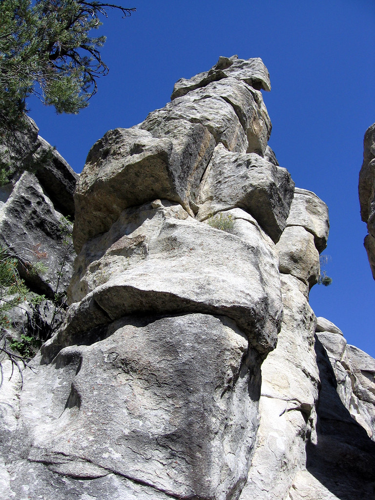 Photo: Argyleist, CC BY 2.0 (via Flickr)
Bath Rock
~0 min drive
Bath Rock in Idaho has 4 climbing routes with sport and trad options.
 Photo: cifraser1, CC BY 2.0 (via Flickr)
Bath Rock - East
~0 min drive
Bath Rock - East in Idaho has 8 trad routes on 4 difficulty grades.
Photo: cifraser1, CC BY 2.0 (via Flickr)Bath Rock - West
~0 min drive
Bath Rock - West in Idaho has 11 climbing routes across 8 grades, featuring mixed, sport, and trad styles.
Photo: cifraser1, CC BY 2.0 (via Flickr)City of Rocks Bouldering
~1 min drive
City of Rocks Bouldering in Idaho has 3 bouldering routes at 3 difficulty grades.
 Photo: cifraser1, CC BY 2.0 (via Flickr)
City of Rocks
~1 min drive
City of Rocks in Idaho has 81 climbing routes across 28 difficulty grades.
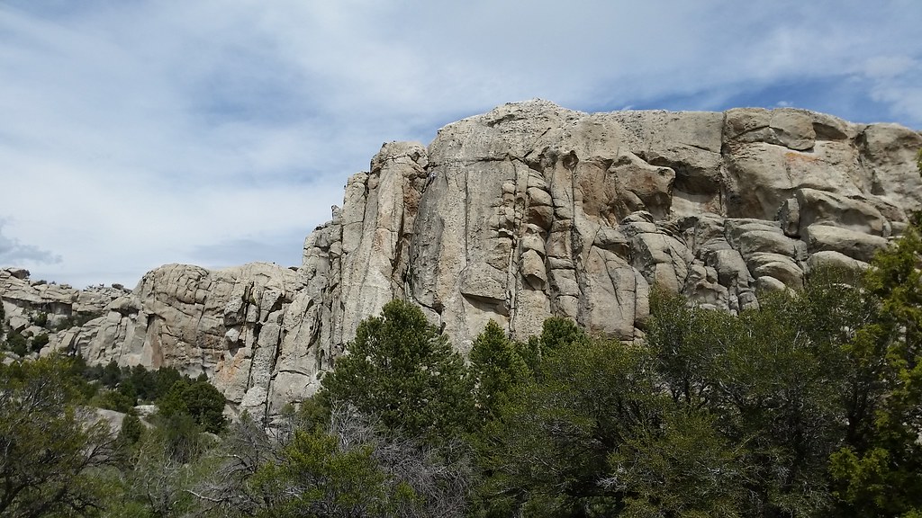 Photo: cifraser1, CC BY 2.0 (via Flickr)
Creekside
~1 min drive
Creekside in Idaho has 15 climbing routes across 9 grades, offering sport and trad styles.
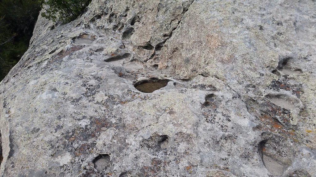 Photo: cifraser1, CC BY 2.0 (via Flickr)
Flaming Rock
~1 min drive
Flaming Rock in Idaho has 12 climbing routes across 8 grades.
Photo: cifraser1, CC BY 2.0 (via Flickr)The Office
~1 min drive
The Office is a climbing crag in Idaho with 5 routes.
Photo: Bold Frontiers, CC BY 2.0 (via Flickr)Transformer Corridor
~1 min drive
Transformer Corridor in Idaho offers 8 mixed climbing routes ranging from 5.8 to 5.12a.
Photo: Bold Frontiers, CC BY 2.0 (via Flickr)Bumblie Rock
~1 min drive
Bumblie Rock in Idaho has 9 climbing routes with 7 difficulty grades, offering sport and trad styles.
