City of Rocks Campsites
Campground
Campground · 0.5 mi from the trail
 Photo: Bold Frontiers, CC BY 2.0 (via Flickr)
No closures listed
The National Park Service lists no closures for City of Rocks National Reserve.
As of · Source: NPS · City of Rocks National Reserve. Agencies don't list every closure — check before you go.
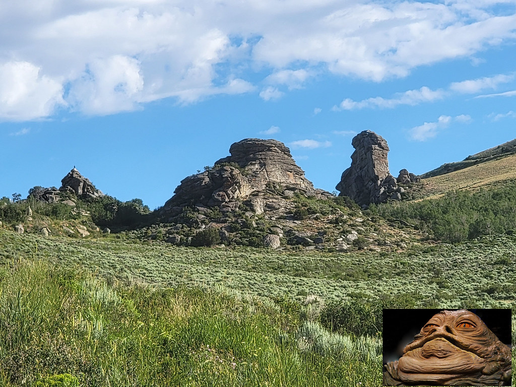
Bumblie Wall Trail is a short, easy hike in Idaho's City of Rocks National Reserve, managed by State Park and Recreation. The trail is an out-and-back of about 1.6 miles, with a total elevation gain of 595 feet, and it starts at roughly 6,110 feet, rising to a high point of about 6,321 feet. The steepest stretch comes early, around 0.19 miles in, with a grade of about 15 percent. The most comfortable months for a visit are typically June and September. Typical averages from a nearby weather station in Rosette, Utah, run to highs of about 75°F in June and 74°F in September, with July the warmest month at about 86°F. That station sits roughly 600 feet lower than the trail, so temperatures on the route run a little cooler. The trail sits right beside several climbing areas, including Transformer Corridor, Bumblie Rock and Cannibal Corridor, each about 0.1 mile away. Window Arch Trail - 250 feet is about 0.3 mile off.
City of Rocks Campsites
Campground
Piggy Sue BBQ
Barbecue restaurant
Oakley Valley Historical Museum
Museum
Places © OpenStreetMap contributors, Places © Overture Maps Foundation
More in OakleyNot on Roamze yet. Their page has how to reach them.
Transformer CorridorRock climbingPhoto: Bold Frontiers, CC BY 2.0 (via Flickr)0.1 miBumblie RockRock climbingPhoto: Bold Frontiers, CC BY 2.0 (via Flickr)0.1 mi Cannibal CorridorRock climbingPhoto: cifraser1, CC BY 2.0 (via Flickr)0.1 mi
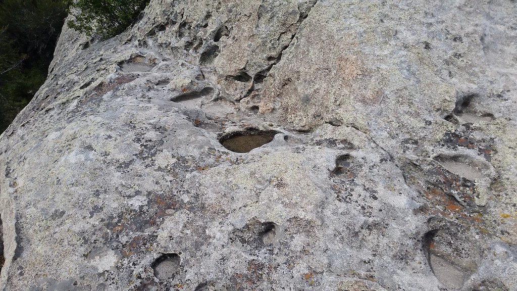 Flaming RockRock climbingPhoto: cifraser1, CC BY 2.0 (via Flickr)0.1 mi
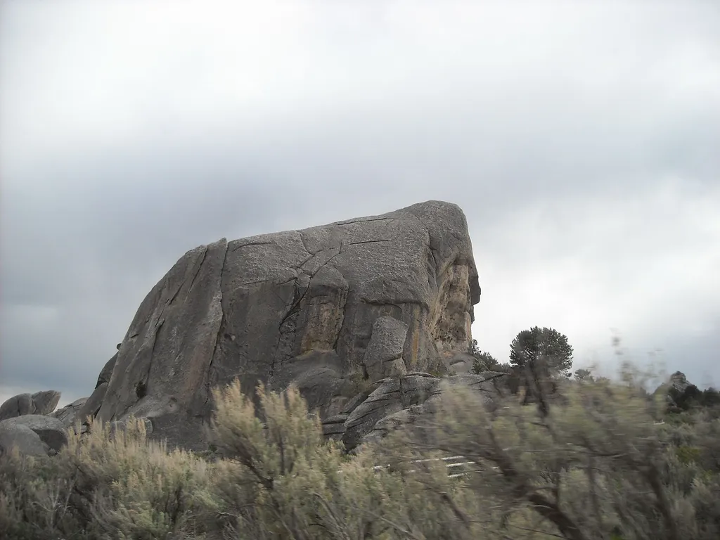 Window Arch Trail - 250 feetHikingPhoto: photophat — Wikimedia Commons (CC BY 3.0)0.3 mi
 Flaming Rock TrailHikingPhoto: reverendlukewarm, CC BY-SA 2.0 (via Flickr)0.3 mi
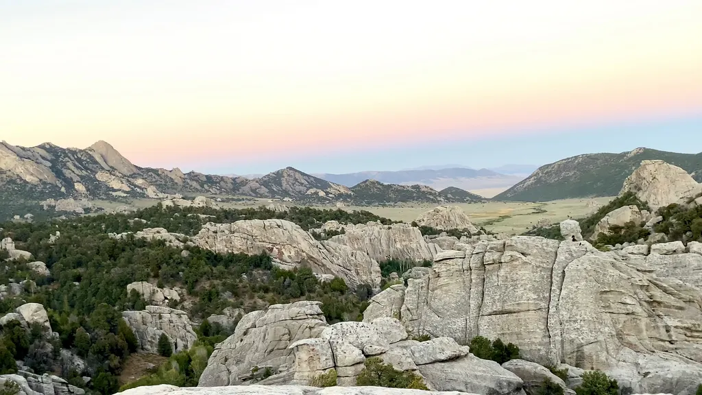 California Trail HistoryHikingPhoto: NPS / public domain0.4 mi
Source: Roamze catalog (indexable pages within 10 miles, PostGIS distance)
Stairways TrailHiking · Next doorPhoto: reverendlukewarm, CC BY-SA 2.0 (via Flickr)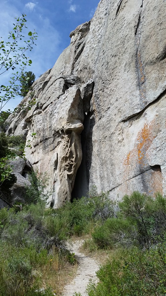 Beef Jello TrailHiking · ~2 min drivePhoto: cifraser1, CC BY 2.0 (via Flickr)Flaming Rock TrailHiking · Next doorPhoto: reverendlukewarm, CC BY-SA 2.0 (via Flickr)
 Indian GroveHiking · ~3 min drivePhoto: AndreyZharkikh, CC BY 2.0 (via Flickr)Bath Rock TrailHiking · Next doorPhoto: Bold Frontiers, CC BY 2.0 (via Flickr)Box Top Trailhead Rest AreaHiking · Next doorPhoto: reverendlukewarm, CC BY-SA 2.0 (via Flickr)
 Castle Rocks TrailHiking · ~7 min drivePhoto: Seth Tisue, CC BY-SA 2.0 (via Flickr)Creekside Towers TrailHiking · Next doorPhoto: Bold Frontiers, CC BY 2.0 (via Flickr)
Best months: April–June and August–October. Best months have typical highs of 55–85 °F, lows of 30 °F or warmer (32 °F where the station doesn't record snow), at most one snowy day and no more than 12 wet days.
Jan
35° / 16°
8 wet
Feb
39° / 19°
7 wet
Mar
48° / 27°
6 wet
Apr
55° / 33°
7 wet
May
65° / 41°
9 wet
Jun
75° / 50°
6 wet
Jul
86° / 59°
5 wet
Aug
85° / 57°
6 wet
Sep
74° / 48°
5 wet
Oct
60° / 35°
5 wet
Nov
45° / 24°
6 wet
Dec
35° / 17°
8 wet
Typical high / low (°F) and days with rain or snow, 1991–2020. Measured at Rosette, UT, 23.7 mi away at 5,685 ft. The station sits about 600 ft lower than this place, so expect it a little cooler here. This station doesn't record snowfall. Source: NOAA NCEI U.S. Climate Normals 1991–2020.
Map and trail data © OpenStreetMap contributors
