Foss Mountain Trail
- 2.4 mi
- round trip
- 2,773 ft
- climb
- 9,158 ft
- high point
- Out and back
- route
Is FOSS MOUNTAIN TRAIL open right now?
Alert in the area
The Forest Service lists an alert for Salmon-Challis National Forest.
Stoddard Bridge Construction Closure
Agency alert covering Salmon-Challis National Forest · Order 0413-07-17 · USFS · Salmon-Challis National Forest
As of · Source: USFS · Salmon-Challis National Forest. Agencies don't list every closure — check before you go.
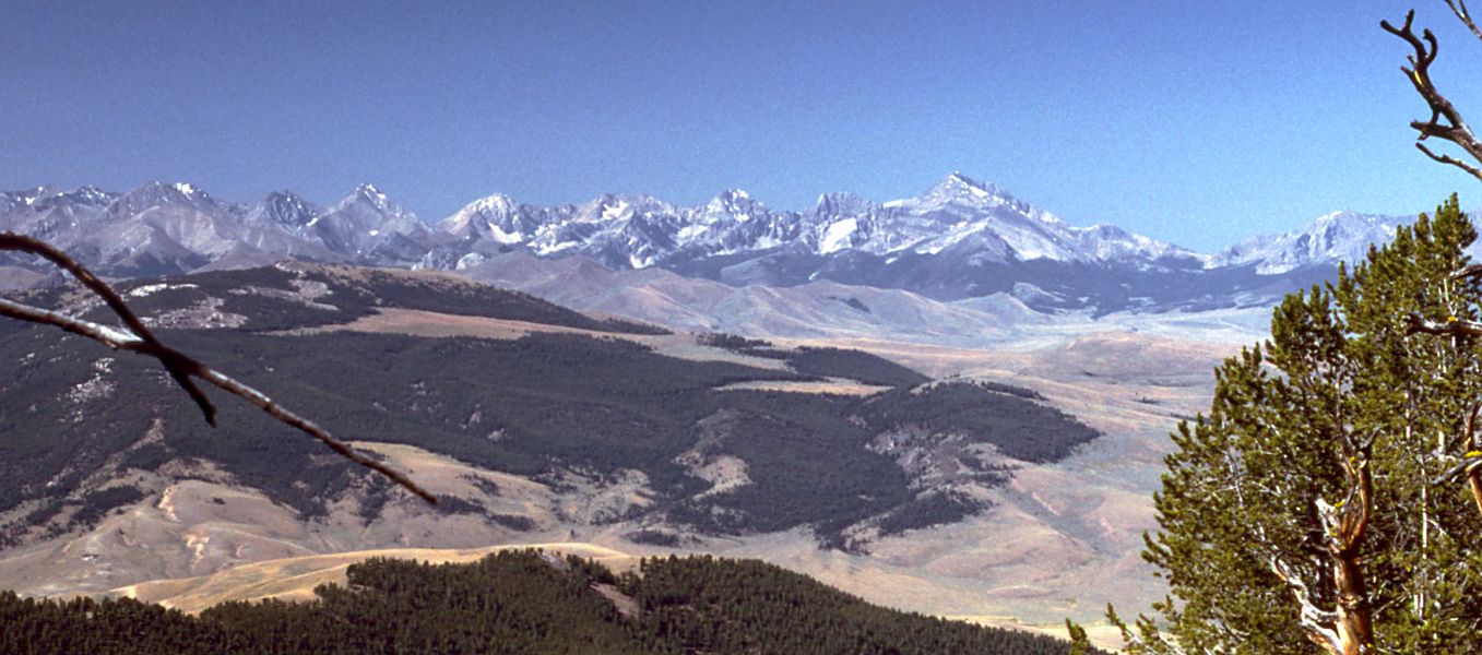
Foss Mountain Trail is a hard hike in Idaho's Salmon-Challis National Forest, within the Lost River Ranger District. It is an out-and-back route of about 4.7 miles, with a one-way elevation gain of 2,267 feet and a total round-trip gain of 2,773 feet. The trail starts at about 7,322 feet and reaches a high point of 9,158 feet, and it is front-loaded, with the steepest stretch at about 0.7 miles in from the start, where the grade peaks at 29%. The trip is estimated to take about three hours. The Forest Service manages the land, and the trailhead lies in the Lost River Ranger District of the Salmon-Challis. Birch Basin Trail is about 0.4 miles away, and Cedar Run Trail is about 2.2 miles away. Right Fork Rocky Canyon and South Fork Meadow are both within about 5 miles.
Conditions and forecast on Foss Mountain
Daily highs and lows, wind and the chance of precipitation at the summit and route start for the next 7 days, from the Open-Meteo model.
- BIRCH BASIN TRAILHiking0.4 mi
- CEDAR RUN TRAILHiking2.2 mi
- Right Fork Rocky CanyonHiking4.9 mi
- South Fork MeadowHiking5.3 mi
- Meadow CanyonHiking5.4 mi
- Bell MountainHiking5.7 mi
- Lemhi RangeRock climbing6.5 mi
- Summit CreekCanoeing9.7 mi
Source: Roamze catalog (indexable pages within 10 miles, PostGIS distance)
- BIRCH BASIN TRAILHiking · Next door
- Right Fork Rocky CanyonHiking · ~8 min drive
- Rocky CanyonHiking · ~13 min drive
- NORTH CREEK TRAILHiking · ~29 min drive
- CEDAR RUN TRAILHiking · ~4 min drive
- Meadow CanyonHiking · ~9 min drive
- WARM CREEK TRAILHiking · ~17 min drive
- Bell MountainHiking · ~10 min drive
- BADGER CREEK MINEHiking · ~11 min drive
- SANDS CANYON TRAILHiking · ~29 min drive
Route details
- Distance
- 2.4 mi round trip
- Climbing
- About 2,773 ft
- Summit
- 9,187 ft
- Difficulty
- Hard
- Time
- About 2 hours
Questions about this route
How long is the FOSS MOUNTAIN TRAIL on Foss Mountain?
About 2.4 mi round trip.
How much elevation gain is on the FOSS MOUNTAIN TRAIL?
About 2,773 ft of climbing round trip.
How hard is the FOSS MOUNTAIN TRAIL?
It is rated hard.
How long does the FOSS MOUNTAIN TRAIL take?
About 2 hours round trip.
