Bayview Public Boat Launch
- May–Sep
- best months
Is Bayview Public Boat Launch open right now?
Closure in the area
There's a closure order in Idaho Panhandle National Forests. It doesn't name Bayview Public Boat Launch, so check the source for the area it covers (3 listed).
Emergency Road Closure Lightning Creek / Forest Road 419
Agency closure covering Idaho Panhandle National Forests · Order 0104-06-26-002 · USFS · Idaho Panhandle National Forests
Abandoned Mines Area Closure
Agency closure covering Idaho Panhandle National Forests · Order 1-04-00-25-001 · USFS · Idaho Panhandle National Forests
Idaho Panhandle Seasonal Food Storage Order
Agency closure covering Idaho Panhandle National Forests · Order 01-04-00-24-001 · USFS · Idaho Panhandle National Forests
Beehive Lake Trail #279 Closure
Agency alert covering Sandpoint Ranger District · Order 01-04-06-26-007 · USFS · Sandpoint Ranger District
Heavy Truck Traffic on FS Road 209
Agency alert covering Idaho Panhandle National Forests · USFS · Idaho Panhandle National Forests
As of · Source: USFS · Idaho Panhandle National Forests. Agencies don't list every closure — check before you go.
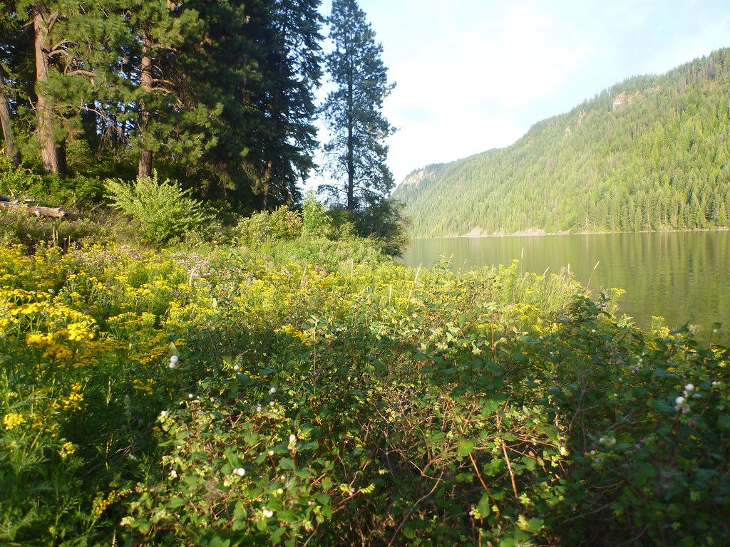
Bayview Public Boat Launch is a public boat launch in the Sandpoint Ranger District of the Idaho Panhandle National Forests, about 7 miles from the town of Athol, Idaho. Summer is the most comfortable time to get on the water. Typical averages from a nearby weather station show July highs around 80°F with lows near 50°F and only about five wet days in the month, while winter brings highs in the mid-30s and regular snow days. Several trails and campgrounds lie within a short drive. Squirrel Cache Loop is about 2 miles away and Bernard Peak about 2.5 miles. Whiskey Rock Bay campground is roughly 7 miles off, and Evans Landing Trail is about 6 miles away.
 Squirrel Cache LoopHikingPhoto: Rick McCharles, CC BY 2.0 (via Flickr)2.1 mi
 Bernard PeakHikingPhoto: Rick McCharles, CC BY 2.0 (via Flickr)2.5 mi
- GREEN MOUNTAINHiking6.1 mi
- Evans Landing TrailHiking6.1 mi
- CHILCO CUTOFFHiking6.4 mi
- Whiskey Rock BayCamping6.9 mi
- Maiden RockCamping8.5 mi
- Independence Creek NrtHiking8.6 mi
Source: Roamze catalog (indexable pages within 10 miles, PostGIS distance)
- Whiskey Rock Bay Boating SiteBoat launch · ~12 min drive
- Independence CreekCanoeing · ~23 min drive
- Avery Creek CabinTubing · ~1h 1m drive
- Hayden Lake MarinaBoat launch · ~31 min drive
- Little North Fork Coeur d'Alene RiverCanoeing · ~23 min drive
- Honeysuckle Beach Boat RampBoat launch · ~31 min drive
- Spirit CreekCanoeing · ~27 min drive
- Sam Owen Boat DockBoat launch · ~35 min drive
- North Fork Coeur d'Alene RiverCanoeing · ~28 min drive
- Fernan East Boat LaunchBoat launch · ~38 min drive
Best time to visit Bayview Public Boat Launch
Best months: May–September. Best months have typical highs of 55–85 °F, lows of 30 °F or warmer (32 °F where the station doesn't record snow), at most one snowy day and no more than 12 wet days.
Jan
35° / 23°
13 wet · 4 snow
Feb
38° / 23°
10 wet · 3 snow
Mar
45° / 28°
12 wet · 2 snow
Apr
54° / 33°
11 wet
May
64° / 39°
10 wet
Jun
70° / 45°
9 wet
Jul
80° / 50°
5 wet
Aug
79° / 49°
4 wet
Sep
69° / 42°
6 wet
Oct
54° / 33°
10 wet
Nov
42° / 27°
13 wet · 2 snow
Dec
34° / 22°
14 wet · 5 snow
Typical high / low (°F) and days with rain or snow, 1991–2020. Measured at Bayview Model Basin, ID, 0.1 mi away at 2,087 ft. Source: NOAA NCEI U.S. Climate Normals 1991–2020.
Map and trail data © OpenStreetMap contributors
