Mm 5.7
Campground
Campground · 1.5 mi from the trail
Closure in the area
There's a closure order in Idaho Panhandle National Forests. It doesn't name CHILCO CUTOFF, so check the source for the area it covers (4 listed).
Emergency Road Closure Lightning Creek / Forest Road 419
Agency closure covering Idaho Panhandle National Forests · Order 0104-06-26-002 · USFS · Idaho Panhandle National Forests
West Fork Eagle Creek/Forest Road 805
Agency closure covering Coeur d'Alene River Ranger District · Order 01-04-03-26-002 · USFS · Coeur d'Alene River Ranger District
Abandoned Mines Area Closure
Agency closure covering Idaho Panhandle National Forests · Order 1-04-00-25-001 · USFS · Idaho Panhandle National Forests
Idaho Panhandle Seasonal Food Storage Order
Agency closure covering Idaho Panhandle National Forests · Order 01-04-00-24-001 · USFS · Idaho Panhandle National Forests
Forest Service Roads 265, 422 and 911 Closure
Agency alert covering Coeur d'Alene River Ranger District · Order 01-04-03-26-018 · USFS · Coeur d'Alene River Ranger District
As of · Source: USFS · Idaho Panhandle National Forests. Agencies don't list every closure — check before you go.
Chilco Cutoff is a short, easy out-and-back hike in the Coeur d'Alene River Ranger District of the Idaho Panhandle National Forests, managed by the Forest Service. The trail is about a mile long, with a total elevation gain of 454 feet, and it starts at roughly 5,342 feet, rising to a high point of about 5,619 feet before returning to the starting level. The climb is front-loaded, with the steepest stretch coming within the first 0.14 miles at a grade of about 22 percent. The trip takes about half an hour, so it works well as a quick outing. Bernard Peak lies about 4.3 miles away, and the Squirrel Cache Loop and Independence Creek Nrt are both within about 5 miles. Paddlers can reach the Little North Fork Coeur d'Alene River, about 7 miles off.
Mm 5.7
Campground
 If it rainsAntony-22, CC BY-SA 4.0 · Wikimedia Commons
Local history museum in Coeur d'Alene, Idaho
Places © OpenStreetMap contributors, Places © Overture Maps Foundation · Photos: Antony-22, CC BY-SA 4.0 (commons)
More in Post FallsNot on Roamze yet. Their page has how to reach them.
Daily highs and lows, wind and the chance of precipitation at the summit and route start for the next 7 days, from the Open-Meteo model.
 Bernard PeakHikingPhoto: Rick McCharles, CC BY 2.0 (via Flickr)4.3 mi
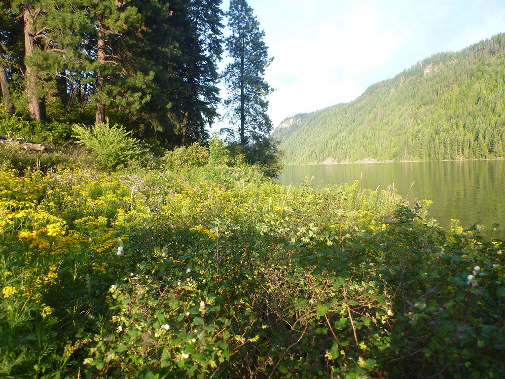 Squirrel Cache LoopHikingPhoto: Rick McCharles, CC BY 2.0 (via Flickr)5 mi
 Mokins Bay CampgroundCampingPhoto: Recreation.gov (RIDB) / public domain9.5 mi
Source: Roamze catalog (indexable pages within 10 miles, PostGIS distance)
Bernard PeakHiking · ~7 min drivePhoto: Rick McCharles, CC BY 2.0 (via Flickr)Squirrel Cache LoopHiking · ~9 min drivePhoto: Rick McCharles, CC BY 2.0 (via Flickr)About 0.5 mi round trip.
About 454 ft of climbing round trip.
It is rated easy.
About 0.5 hours round trip.
