Wet Creek Trail
- 2.2 mi
- round trip
- 2,331 ft
- climb
- 9,008 ft
- high point
- Out and back
- route
Caution today
Agency alerts are in effect for this area; weather is marginal · USFS, OpenWeather · checked 10 h ago
Is Wet Creek Trail open right now?
Alert in the area
The Forest Service lists an alert for Salmon-Challis National Forest.
Stoddard Bridge Construction Closure
Agency alert covering Salmon-Challis National Forest · Order 0413-07-17 · USFS · Salmon-Challis National Forest
As of · Source: USFS · Salmon-Challis National Forest. Agencies don't list every closure — check before you go.
Wet Creek Trail is a 4.4-mile out-and-back hike in Idaho's Salmon-Challis National Forest, within the Lost River Ranger District. The trail starts at about 7,883 feet and climbs to a high point of 9,008 feet, with a total elevation gain of 2,331 feet over the round trip. The route is rated moderate, and the steepest stretch comes early, with a 37% grade at about 0.25 miles in. The trail is managed by the Forest Service, and the trip takes about 2.5 hours. The Long Lost-Wet Creek hike lies just 0.1 mile away, and Loristica Group Campground is about 1.1 miles off. Bear Creek Lake is roughly 1.9 miles away, and the climbing area The Right Flank is about 2.2 miles away.
- Long Lost-Wet CreekHiking0.1 mi
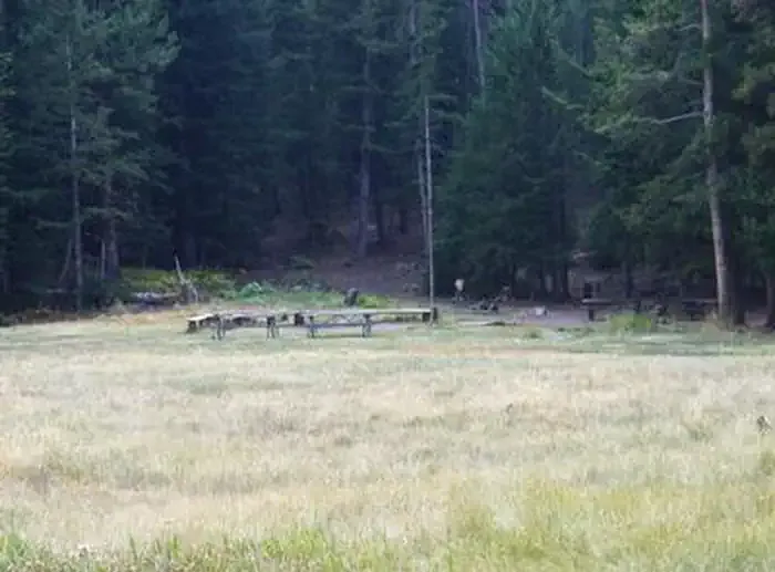 Loristica Group CampgroundCampingPhoto: Recreation.gov (RIDB) / public domain1.1 mi
- Bear Creek LakeHiking1.9 mi
- The Right FlankRock climbing2.2 mi
- The Main WallRock climbing2.3 mi
- Pass Creek Narrows Camping Area & Picnic SiteCamping5.3 mi
- Pass CreekCanoeing6.4 mi
- Wet CreekCanoeing8.2 mi
Source: Roamze catalog (indexable pages within 10 miles, PostGIS distance)
 Borah Peak TrailHiking · ~29 min drivePhoto: Fredlyfish4, CC BY-SA 4.0 (via Wikimedia Commons)
- Bear Creek LakeHiking · ~3 min drive
- Big Creek-MassacreHiking · ~6 min drive
- Mount Breitenbach TrailHiking · ~18 min drive
- Long Lost-Wet CreekHiking · Next door
- Shadow Lakes TrailHiking · ~6 min drive
- Mud Lake Canyon TrailHiking · ~7 min drive
- Leatherman Peak TrailHiking · ~23 min drive
- BEAR-WET CREEK TRAILHiking · ~4 min drive
- Lower Cedar CreekHiking · ~10 min drive
Also worth it near here


Map and trail data © OpenStreetMap contributors
